
Kyrkleden, När
- Wędrówki piesze
- Województwo: Gotlands län
- 6984.45 km od Ciebie
Szczegóły dotyczące szlaku
- Długość 4.0 km
Akcje
Opis
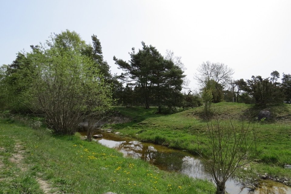
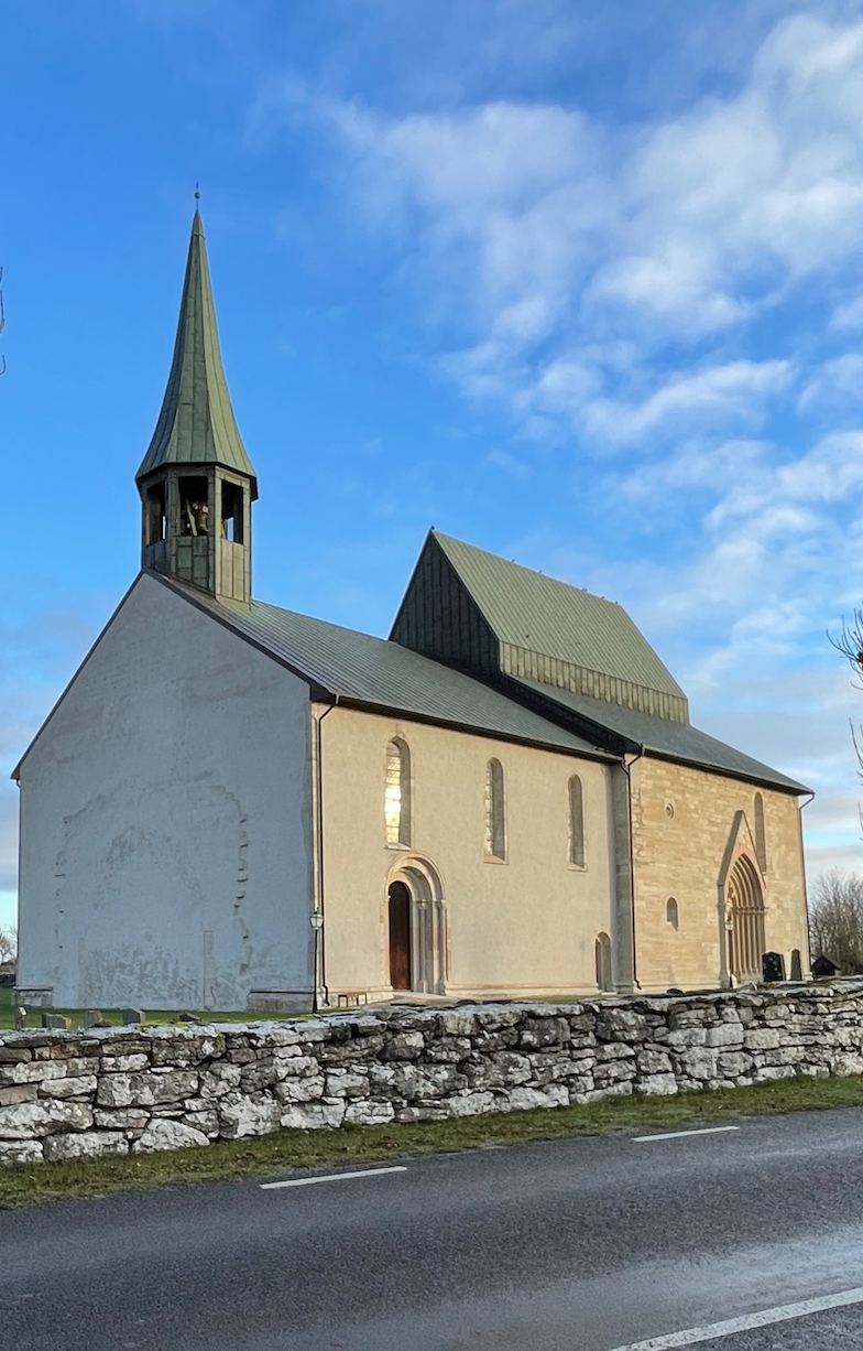
The walk between the churches of När and Lau is 4 km long and runs along the northern side of the Linnaeus Trail. Half of the route runs through an open rural landscape where the occasional cow may come to watch you. När kyrka is Gotland's lowest church, only about 5 meters above sea level. The church has bullet holes in the tower to defend against enemies that may come along the Närsån river, which flows nearby. Lau Church is Gotland's largest rural church, with the largest crucifix in the Nordic region and a full eight seconds of reverberation. It's definitely worth going in and singing a cappella to yourself. At the Dam there is a picnic area with shelter, barbecue area and WC
Działania i udogodnienia
- Wędrówki piesze
Kontakt
Adres e-mail
Turistbyrån på Gotland
Byłam tu
Chcę tu iść 2

Pytania i Odpowiedzi
Zadaj pytanie innym użytkownikom Naturkartan.
Opinie
0 reviews
- 5 :
- 4 :
- 3 :
- 2 :
- 1 :
Zdjęcia użytkowników
Nie ma jeszcze żadnych zdjęć użytkowników. Bądź pierwszym, który je udostępni!
