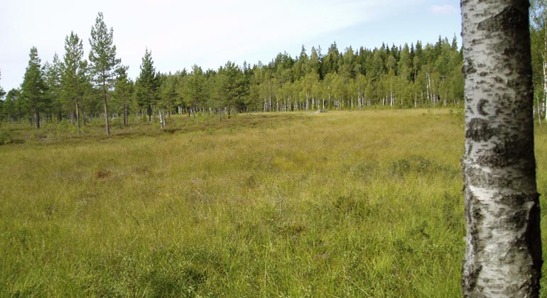
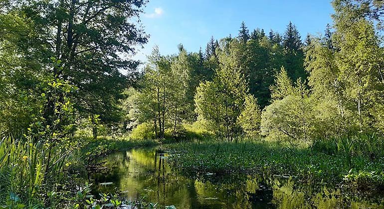
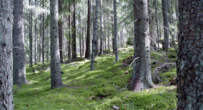
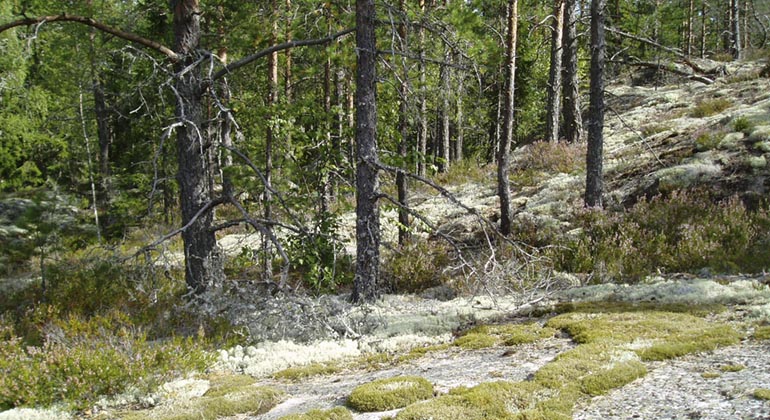
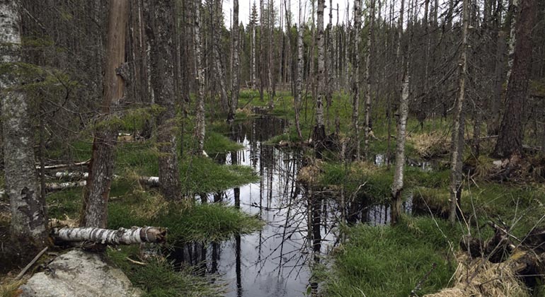
In Grönbo you will find an exciting old-growth forest with bogs and rocky areas, forests and lakes. There are plenty of both boulders and dead trees in the forest, to the delight of a variety of plants, fungi and animals. Don't forget your mushroom basket if you come in the fall, it pays to keep an eye out for the forest's gold!
Risk of falling trees
Right now there are many dead trees in the forest area west of Lake Ämten. We advise against moving in the forest, especially in windy weather, due to the risk of falling trees.
Traces of the big forest fire
In 1914, a major forest fire broke out east of Lake Ämten, the Spannarboda fire, whose progress has clearly shaped the forest we see today. There are many traces of the fire in the reserve, such as burnt stumps and a large element of deciduous forest, mainly birch and aspen. The fire was limited to the west by Lake Ämten, so the forest west of the lake is considerably older, up to 150 years. This part also has considerably more lush vegetation than the eastern part, partly due to the forest fire that burned up the top fertile soil layer east of Ämten. The Spannarboda fire was the largest fire before the Hälleskog fire in Västmanland in 2014, 100 years later.
Moose, lemmings and a magnificent butterfly
The area consists mainly of deciduous coniferous forests with rock outcrops and large marshlands. A characteristic feature is the large boulders and difficult-to-access areas with a lot of aspen that glows yellow and orange in the forest in the fall. Grönbo is located in the middle of the transition between the southern and northern coniferous forest areas. The woodlark is typical of the area and is approaching its southern distribution in the country. Moose, roe deer, marten, stoat and hare are some of the animals that live here. There are otters in Sverkestaån. At Torshällsmossen you can keep an eye out for Freja's pearl butterfly, which flies with orange-red wings, during May-July.
The beaver - an energetic landscape engineer
Beavers are good at damming up waterways and rearranging the landscape. We can see clear examples of this north of Lake Ämten. The area stretching northwest towards Sverkestaån has been flooded. When the beavers left the ponds, the water broke through and the area became dry. In this way, new unique environments are created in the landscape. The dead trees remain and are populated by insects that attract birds such as woodpeckers and tits.
The wolverine thrives in Grönbo
Here in the area's multi-layered forests, with trees of different ages and heights, the wolverine finds shelter from birds of prey. There are also plenty of alder trees, whose pendants are their favorite food during the winter. Unlike most birds, wolverines live in pairs for most of the year, except for incubation, hatching and until the chicks are fledged, when they are ready to leave the nest.
Poplar dead trees
Where there are plenty of dead trees, there is a good chance of seeing or hearing woodpeckers. They find plenty of tasty larvae in the dead trees. They include the lesser spotted woodpecker, the common chough and even the rare three-toed woodpecker. Dead trees also provide nesting sites for many birds, such as the barn owl. Among the insects, the slender shadow beetle is one of the rarities of the area. It depends on a constant supply of recently dead pine wood and benefits from recurrent fires. Planned conservation burns are now being carried out in the reserve.
Cultivated mountain forests
Grönbo contains many traces of human life and work. Stone cairns show where the land has been cultivated, and if you are observant you will see stone-cleared roads and the remains of coal bunkers. They tell us about the intensive coal mining that went on in the area right up to the 1930s. In charcoal kilns, timber was turned into charcoal, which was used in large quantities in the area's smelters and mills. During this time, many ditches were dug in the forest to get more wood. The ditches were dug by hand but did not produce great results. Until the 19th century, the banks of the Sverkestaån were used as meadows, and the river itself was a public waterway until 1934. In the 2020s, much of the area's wetlands were restored.
Restored wetlands
In the 20th century, many ditches were dug in the woodlands to grow more trees and provide wood for the forest industry. By plugging the ditches in the early 2020s, previously ditched land in the reserve was restored.
Scientific research area
Within the nature reserve, scientific research is conducted by Grimsö Research Station, which includes long-term studies.
Internationally valuable Ramsar site
Sweden has designated the area around Getapulien-Grönbo as a Ramsar site. The Ramsar Convention is an international agreement aimed at achieving conservation and sustainable use of wetlands. Among other things, the countries that have signed the convention must designate the most valuable wetland and aquatic environments in the country as Ramsar sites and ensure their conservation.
Fire as nature conservation management
In the past, forest fires were a common occurrence in our forests, here and there in the reserve you will find traces of old pine trees after older forest fires. Fire is a necessity for a large number of plants and animals, which over the millennia have adapted to the habitat provided by fire. In order to benefit and preserve the area's fire-favoring species, the County Administrative Board carries out controlled conservation burns in the nature reserve.
More information about conservation burning
Current conservation burns
During April-August 2025, a conservation burn is planned in the eastern part of the nature reserve. The burn area covers about 63 hectares and consists of a forest-marsh mosaic with mainly coniferous mixed forest on moraine soil in fairly flat terrain with elements of slightly hilly land.
Life2Taiga
During the years 2022-2028, parts of the area are included in a project with conservation burning in focus, Life2Taiga.
Accessibility
There are no marked trails in the reserve. A picnic area with a fireplace is located at Sverkestaån just west of the parking lot.
Is there firewood?
Firewood is available at the fire pit. Remember to burn in moderation, so that the wood is enough for future guests. The firewood is replenished regularly, but we cannot guarantee availability at all times. If you want to be sure to be able to make a fire - bring your own firewood. It is not allowed to burn sticks and branches from the forest in the reserve.