Länsstyrelsen i Hallands län
Guide till naturreservat i Hallands län

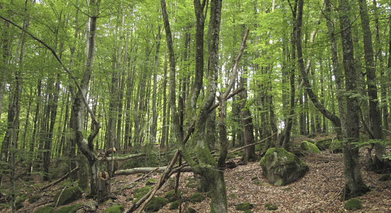
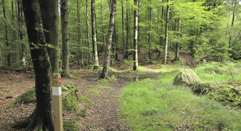

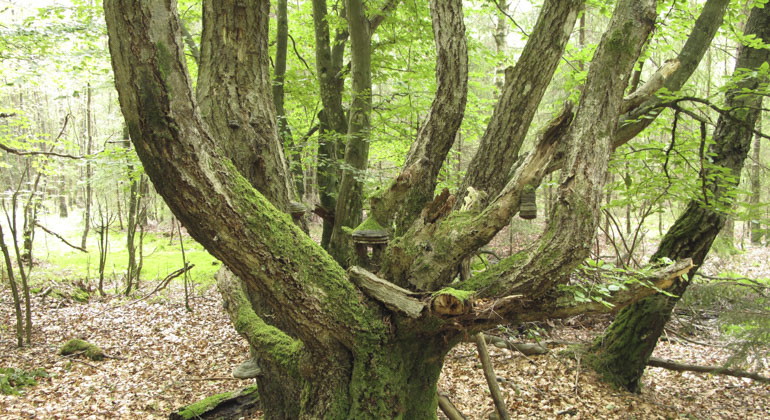
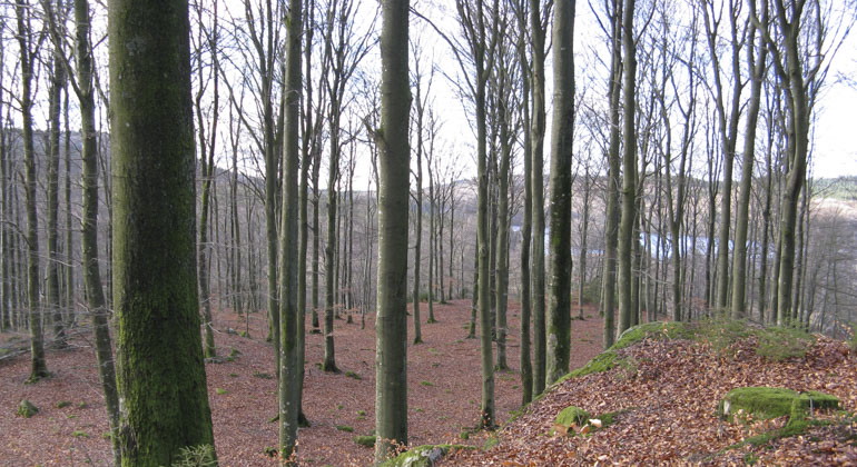
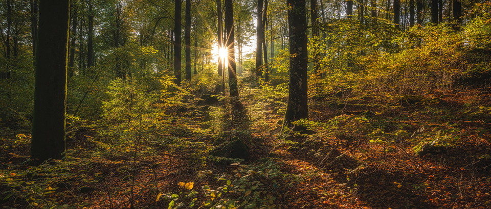
Nabben consists of heathy beech forest. There are a number of red-listed species here. In addition to beech forest, there are also small areas of deciduous swamp forest along a small stream. The reserve is part of Åkulla bokskogar, a collective name for around ten reserves located in the same scenic area. The reserves are linked by a system of hiking trails.
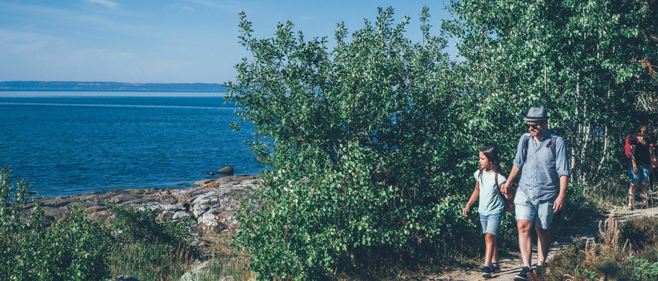
There are twelve hiking trails evenly distributed throughout Åkulla beech forests. The trails are connected to each other and one of them, Bockstensstigen, runs through Nabben. The paths are marked with oak posts with a red plaque with the text "Åkulla bokskogar", a beech leaf and a white ribbon. The links between the trails have the same marking but a yellow band. North of the reserve, the Hallandsleden trail also passes by.
150 meters northeast of the reserve is a bog where an astonishing find was made in connection with peat mining in 1936. In the bog they found a very well-preserved corpse of a man who had been lying here since the 14th century. The humic acids of the peat had preserved the body, clothes and even the brain and hair. The body was pierced by three wooden stakes, which is why it is believed to be a murder. The so-called Bockstensmannen is today on display at the county museum in Varberg. If you follow the Bockstensstigen path, you will pass the place where the Bockstensmannen was found.
More than two thirds of Nabben consists of heathy, i.e. nutrient-poor, beech forest. The majority of the forest is over 100 years old and is home to several red-listed species. In many parts there are coarse, old, late-growing and hollow-rotted trees. Even dead trees, in the form of flames, dry branches and stumps, have been left behind, which is a prerequisite for the area to be able to support a rich diversity of fungi, lichens, mosses, insects and birds.
Species found in the area include small noble lichen, violet-grey porcupine lichen, noble crown lichen, beech spring lichen and trap moss. These are all species that require forests with a long unbroken history to establish themselves. A forest is said to have a long forest continuity if it has been afforested for several centuries and has not been interrupted by, for example, clear felling. In addition to beech forest, there are also small areas of deciduous swamp forest along a small stream.
Beech has been present in the area for a couple of thousand years, and has been forming stands in larger areas for over 1,000 years. It is unusual for beech to have been in one place for so long. When it migrated in around 4,000 years ago (Iron Age), it quickly became a dominant tree species. But in the 18th and 19th centuries, population growth meant that more arable and grazing land was needed. At the same time, timber was needed for fuel, construction and thinning. In many places, beech trees were felled on a large scale, but much of the beech forest was preserved in this area. This is probably because parts of the area belonged to various estates of the time and were used as hunting grounds.
Dominant habitat type: Broadleaf forest
Municipality: Varberg
Area: 76 hectares
Protected since: 1977 / 2009
Owner: Private and the Swedish Environmental Protection Agency
Trustee: County Administrative Board
Other: The area is part of Natura 2000
Nabben is located in Varberg municipality.Bicycle: Make the trip to Åkulla Bokskogar/Nabbens naturreservat/Åkullaboket an experience in itself and cycle on the marked Åkullaleden from Varberg's inner city.Public transport: Stop "Nabben" (During the period 17/6 - 18/8 2024, the stop is served by the seasonal bus line Åkturen. More information and timetable at visitvarberg.se)Car: The reserve is easiest to find by starting from Åkulla friluftsgård. From there you drive south towards Dagsås. If you then turn left towards Svartrå, you will reach a parking lot at Bockstens mosse after about 1 kilometer. If you instead continue south, you will reach the reserve's southern parking after about 2 kilometers. GPS (WGS84): Lat N 57° 6' 24" Lon E 12° 33' 35".
To protect the nature reserve, the County Administrative Board has decided on special regulations, including those that you as a visitor to the area must follow and respect.
In addition to what applies under other legislation, it is forbidden to:
Kontakta reservatsförvaltningen för frågor, synpunkter och felanmälan.
Länsstyrelsen i Hallands län


Stil et spørgsmål til andre Naturkartan-brugere.
0 anmeldelser
Der er endnu ingen brugerbilleder. Vær den første til at dele et!