
-
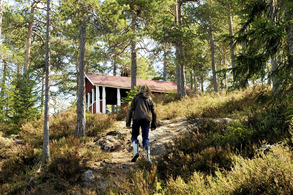
På väg upp till Asaklittstugan
Källan-Asaklitt
- Vandring
- Amt: Dalarnas län
- 6612.83 km fra dig
Ruteoplysninger
- Længde 15.0 km
- Sværhedsgrad Blå – mellem
Handlinger
Beskrivelse
Where the exercise trails start from Källan in Källberget, the trail also starts towards Asaklitt. The trail winds its way along paths and over slightly hilly pine heath, eventually turning into a steep climb up the mountain.
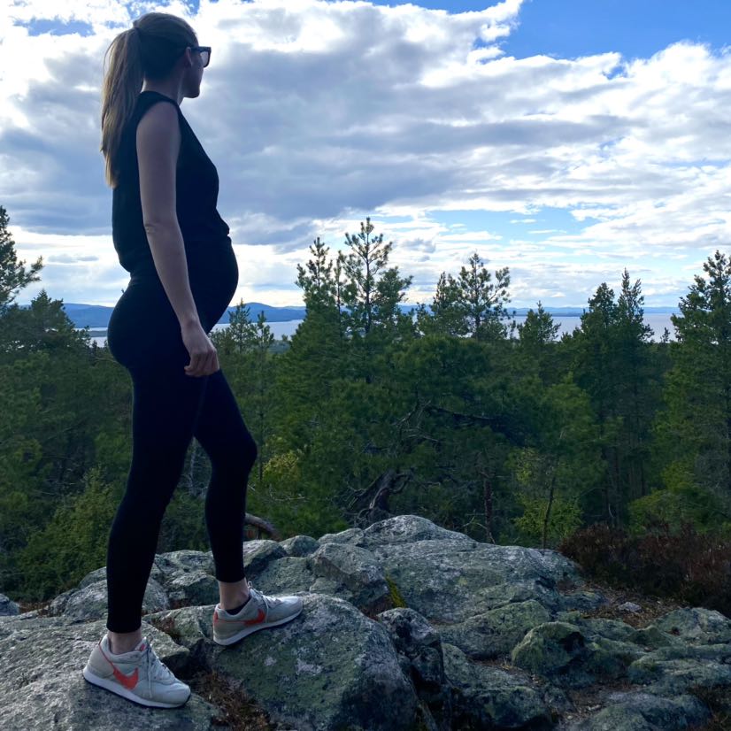
The area next to Källberget is a well-visited outdoor area with lots of small and large paths. Therefore, it is important to make sure that the trail markers are not lost at any trail junction. Most of the trail runs across the flat pine heath and is ideal for hiking as it often becomes bare ground early and because the surface is dry and fine. Closer to Asaklitt, the character changes and the last bit up to Asaklittstugan is really steep. The magnificent view of the area is the reward!
If you are interested in taking a shorter route to the cabin, the forest road can be driven almost all the way, where it is only the last steepness that is walked up. The Asaklitt hut is always open and thus available for hikers who want to rest and eat their lunch.
Aktiviteter og faciliteter
- Vandring
Kontakt
Adresse
Telefon: 0247-80000
E-mailadresse
Kundtjänst
Organisationens logotype

Jeg har været her 16





Jeg vil gerne derhen 39






Spørgsmål og svar
Stil et spørgsmål til andre Naturkartan-brugere.
Anmeldelser
0 anmeldelser
- 5 :
- 4 :
- 3 :
- 2 :
- 1 :
Brugernes billeder
Der er endnu ingen brugerbilleder. Vær den første til at dele et!
