
Pershyttan – Mogetorp, Bergslagsleden Etapp 7
- Vandring
- Tæt på offentlig transport
- Amt: Örebro län
- 6677.85 km fra dig
Ruteoplysninger
- Længde 15.0 km
- Sværhedsgrad Blå – mellem
Handlinger
Beskrivelse
Aktiviteter og faciliteter
- Vandring
Tilgængelighed
- Tæt på offentlig transport
Fakta
Length: 15 km
Time: 4 h
Difficulty level: 2
Activities: Swimming, horseback riding, canoeing, skiing, fishing, cycling
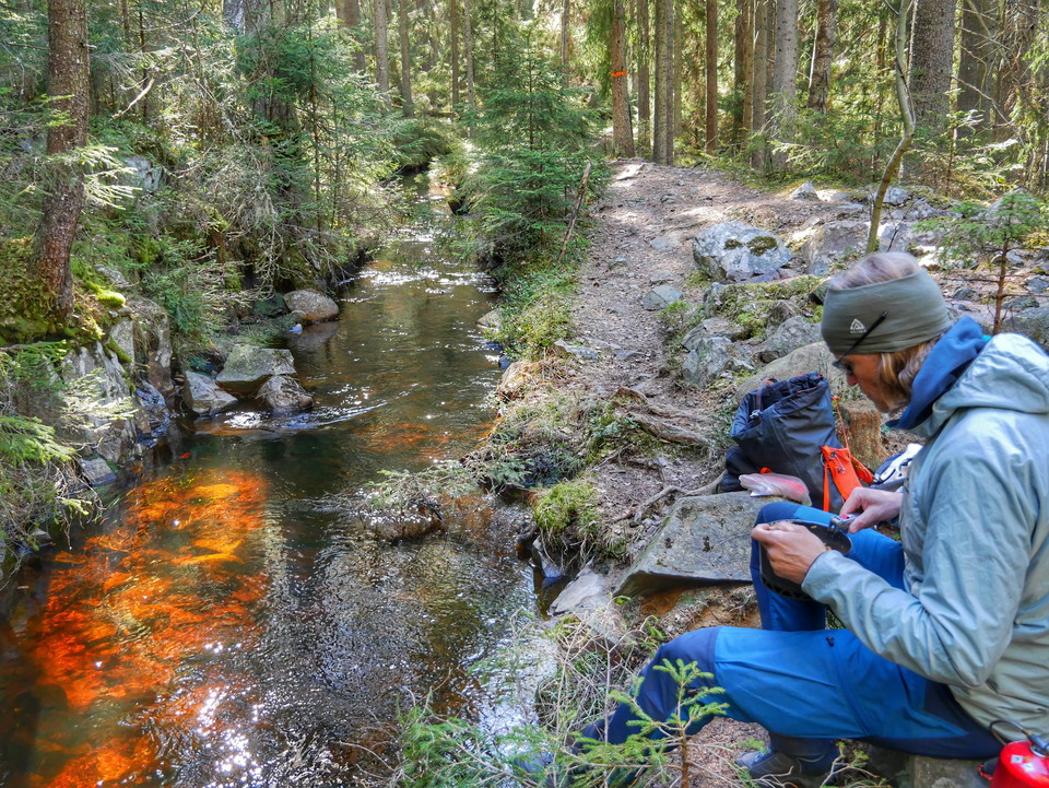
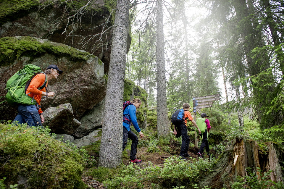
Terrain: Elevation changes - mostly forest path, but also forest road.
Altitude: 150 m above sea level
Fresh water: In Pershyttan there is a toilet with water. In Mogetorp there is access to fresh water outside the hostel. There is also a tap in the village of Ramshyttan with drinking water.
MTB trails Parts of stage 7 between Digerberget and Rökärr are also marked MTB trails. The principal for the MTB trails is Nora municipality.
Housing:
Ramshyttans hästgård/Horse farm
Rutevejledning
At the Bergslagsleden bus stop, on road 244 towards Nora, you can get off and walk on the trail, stage 6, which crosses the road. You can also continue on the same bus to Nora. From there you can order local traffic or walk to Pershyttan, approx. 3 km. Mogetorp on highway 50, is served several times daily (Örebro - Nora).
https://www.lanstrafiken.se/reseplanering/flextrafik-och-nartrafik/nartrafik-i-orebro-lan/
Downloads
Kontakt
E-mailadresse
Johan Karlström
Organisationens logotype

Jeg har været her 30





Jeg vil gerne derhen 66








Spørgsmål og svar
Stil et spørgsmål til andre Naturkartan-brugere.
Anmeldelser
0 anmeldelser
- 5 :
- 4 :
- 3 :
- 2 :
- 1 :
Brugernes billeder
Der er endnu ingen brugerbilleder. Vær den første til at dele et!
