Bästa vandringslederna i Mullsjö

Mullsjö

Naturkartan samlar de vandringslederna i Mullsjö som är populärast bland våra användare.

Billeder

Kort

27 Bästa vandringslederna i Mullsjö

Vandring

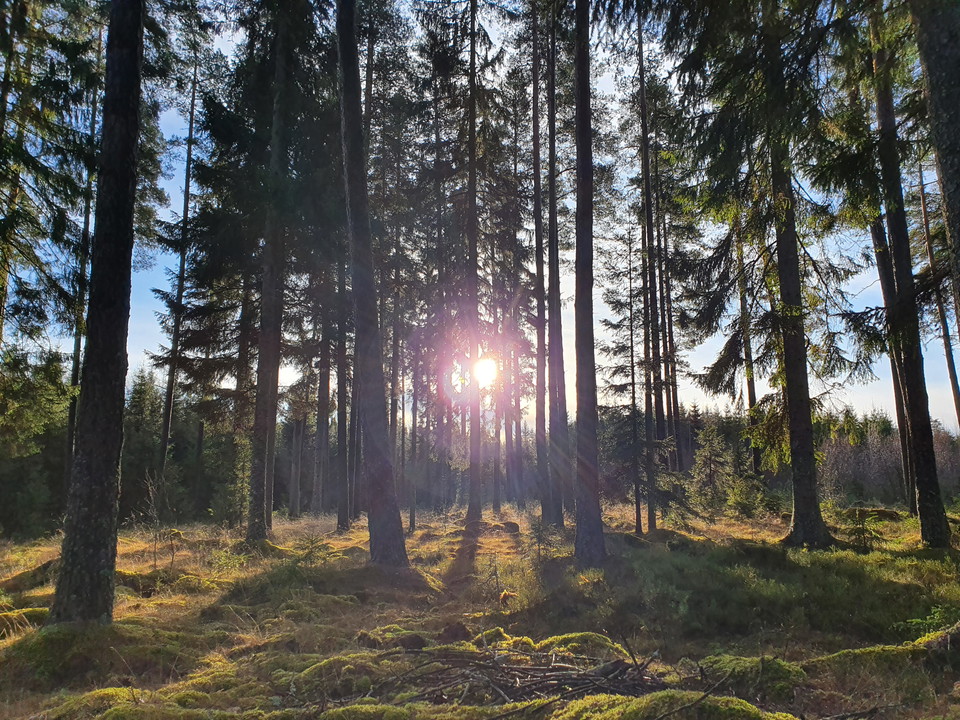
Knipesjöleden

  • Kommune: Mullsjö
  • 8.3 km
  • Sværhedsgrad: Grøn

The ca. 9 km long hiking trail runs in a partially flat, partially hilly region. If you circle the lake anti-clockwise, you will feel the change in altitude significantly less. The Knipesjöleden follows beaten paths, simple tracks, goes through sheer woodla…
Vandring

Mullsjö Runt

  • Kommune: Mullsjö
  • 6702.90 km fra dig
  • 22.0 km
  • Sværhedsgrad: Grøn

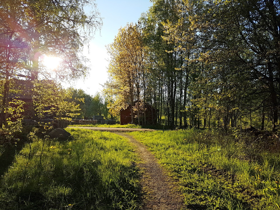
Mullsjö Runt is 22 km long and has black and white markings. The trail allows you to experience a cross-section of the town's history. The easy-to-walk and beautiful landscape is dominated by light and airy pine moss interspersed with sparkling lakes and st…

Vandring

Sandhemsjöleden

  • Kommune: Mullsjö
  • 6695.31 km fra dig
  • 11.2 km
  • Sværhedsgrad: Grøn

Sandhem station is the starting point for Sandhemsjöleden and Kylle mo-leden. The latter hooks into the Heneleden trail, which in turn connects to the Sägnernas trail. By combining the trails, you can choose from a shorter walk to a day trip.

Vandring

Södra Vätterleden etapp SV1 Mullsjö Hotell - Bottnaryd - En del av Smålandsleden

  • Kommune: Mullsjö
  • 6703.35 km fra dig
  • 28.0 km
  • 7 t
  • Sværhedsgrad: Blå

Welcome to stage SV1 Mullsjö - Bottnaryd. On stage SV1 you are taken on an exciting hike along the beautiful shores of Lake Stråken. In addition to the beautiful lake and forest landscape, you pass a very rich cultural landscape with the ancient Ryfors Bru…

Vandring

Blå Spåret (6 km)

  • Kommune: Mullsjö
  • 6704.11 km fra dig
  • 6.0 km
  • Sværhedsgrad: Blå

The Blue Trail is a 6 km loop with Hotel Mullsjö as the starting point. The trail runs for the most part over the easily walked Gyljerydsmon with a few shorter climbs. In the beautiful and varied forest landscape you pass many interesting places. The trail…

Vandring

Eriksgatuleden

  • Kommune: Mullsjö
  • 6695.34 km fra dig
  • 16.2 km
  • Sværhedsgrad: Grøn

Längs Eriksgatuleden kan du följa den gamla tidens färdvägar som bestod av ridstigar. Namnet Eriksgatuled har sitt ursprung från kung Magnus Eriksson som år 1335 red runt sitt rike för att säkerställa sin status i de olika delarna. Leden var även viktig för…

Vandring

Nyckelåsleden

  • Kommune: Mullsjö
  • 6703.10 km fra dig
  • 5.8 km
  • Sværhedsgrad: Blå

Nyckelås nature reserve consists mainly of deciduous forest. Along the Tidan river, the alder thrives, while the oak and ash trees of the deciduous forest form a lovely, leafy oasis in the other parts of the reserve. The 5.8 km long, orange marked circular…

Vandring

Sägnernas led

  • Kommune: Mullsjö
  • 6694.36 km fra dig
  • 6.3 km
  • Sværhedsgrad: Blå

Welcome to Sägnernas hus and Sägnernas led just south of Sandhem. At Sägnernas hus there is a café and a museum that shows pieces of Swedish folklore. There is also a campsite and cabins and glamping. See www.sagnernashus.se. Directions: In the center of Sa…

Vandring

Kyllemo-leden

  • Kommune: Mullsjö
  • 6696.08 km fra dig
  • 4.6 km

The Kyllemo trail starts at Sandhem station. The trail is blue-marked, bi-directional and the length is 4.7 km. The landscape is hilly in parts and the trail goes through Sandhem village and a mixed forest and cultural land. The difficulty level is around m…

Vandring

Kulturled Gyljeryd

  • Kommune: Mullsjö
  • 6703.55 km fra dig
  • 6.0 km
  • Sværhedsgrad: Grøn

This 5 km long and interesting cultural hike at Gyljerydsmon passes several important places in the early history of the resort. The focus is on culture, but you will also experience powerful traces from the Ice Age and at the same time get a nice nature ex…

Vandring

Södra Vätterleden

  • Kommune: Mullsjö
  • 6703.35 km fra dig
  • 88.5 km
  • Sværhedsgrad: Grøn

Welcome to an exciting hike along the beautiful shores of Lake Stråken. In addition to the beautiful lake and forest landscape, you will pass a very rich cultural landscape with the ancient Ryfors Bruk, a large number of ancient remains, as well as traces o…

Vandring

Ryforsleden

  • Kommune: Mullsjö
  • 6.2 km
  • Sværhedsgrad: Blå

Ryforsleden The 6.2 km circular trail has yellow markings and follows good paths and easy roads. You will follow the golf course paths to some extent, so be careful and show consideration. We recommend that you walk clockwise to best experience the views. A…

Vandring

Ryfors Gammelskog

  • Kommune: Mullsjö
  • 6703.50 km fra dig
  • 1.9 km
  • Sværhedsgrad: Grøn

Ryfors Gammelskog Naturreservatet Ryfors Gammelskog har ett orört ekosystem från tidigt 1700-tal. Förutom en barrskog med träd på över 35 m bidrar det obrutna ekosystemet till en mycket artrik flora och fauna. Vandringen längs Tidan med det mer öppna landsk…

Vandring

Heneleden

  • Kommune: Mullsjö
  • 6695.47 km fra dig
  • 5.0 km

The Heneleden trail starts at Sägnernas hus. The trail is marked with purple color, bidirectional and the length is 5.0 km. The landscape is relatively flat and the trail goes through a mixed forest and cultivated land. The difficulty level is around medium…

Bästa vandringslederna i Mullsjö

Naturkartan samlar de vandringslederna i Mullsjö som är populärast bland våra användare.

Naturkartan

Åbn dette i appen