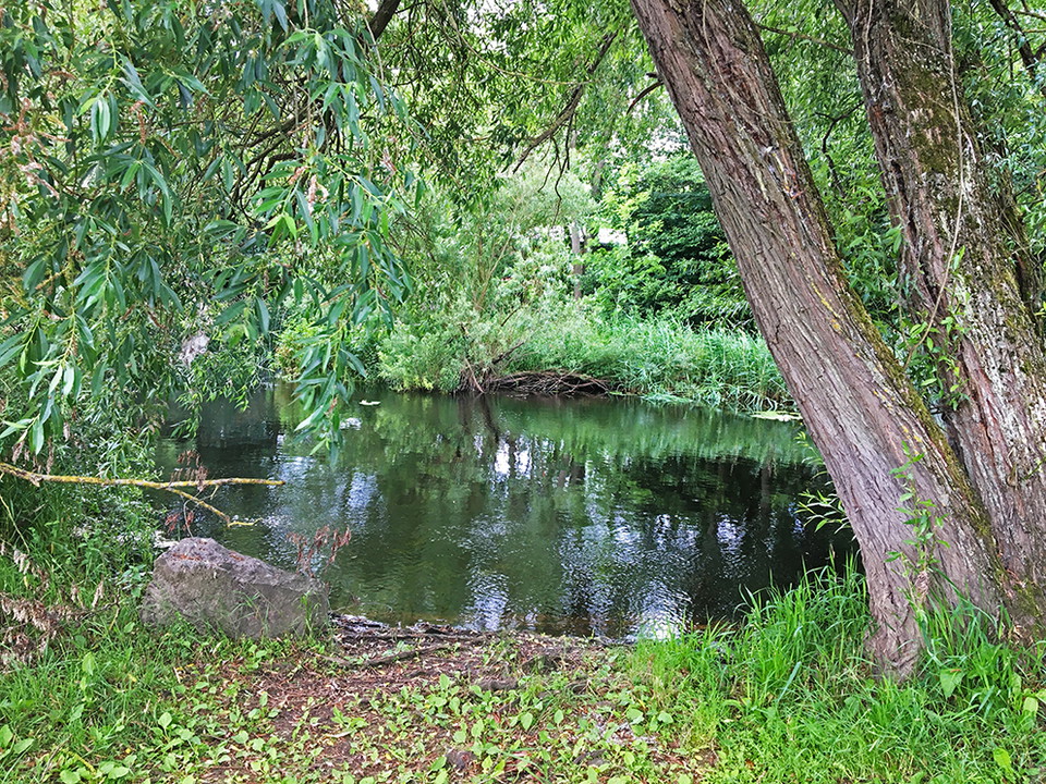
Landskrona
- Kommune: Kävlinge
- 17.29 km
Trail between Landskrona -Järavallen. Varying terrain. More than 50% on nature trail.

Kävlinge
Naturkartan samlar de vandringslederna i Kävlinge som är populärast bland våra användare.
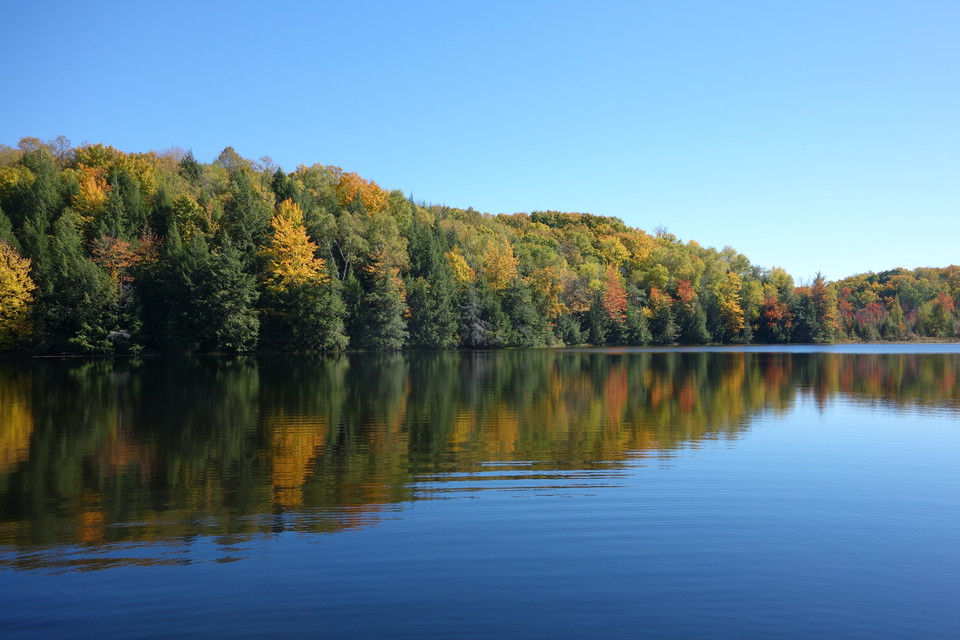
Trail between Landskrona -Järavallen. Varying terrain. More than 50% on nature trail.
Yellow marking = Health Trail, regular route.Blue marking = Shortcuts and connecting routes for the Health Trail. Hälsans stig by Kävlingeån is a hiking trail through the center of Kävlinge and the eastern part of Furulund that offers fine and beautiful na…
Yellow marking = Health Trail, regular route. Blue marking = Shortcuts and connecting routes for the Health Trail.
Naturkartan samlar de vandringslederna i Kävlinge som är populärast bland våra användare.