
Åsele
Bästa vandringslederna i Åsele
Naturkartan samlar de vandringslederna i Åsele som är populärast bland våra användare.
Kort
12 Bästa vandringslederna i Åsele
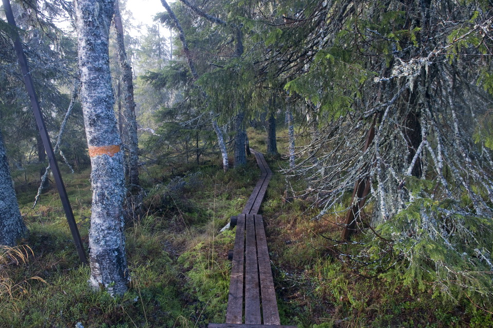
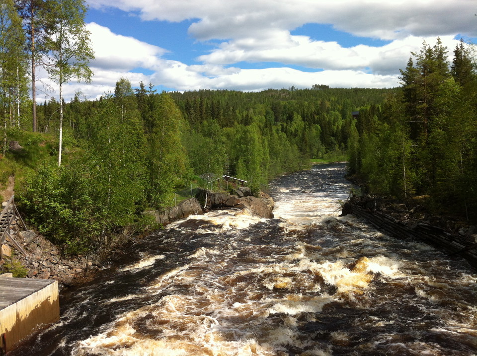
Tempelleden, Lögdeälvsleden och Lögdeälvens vildmarksled
- Kommune: Åsele
- 6585.41 km fra dig
- 117.4 km
Tempelleden, Vindelälvsleden and Lögdälven wilderness trail follows the river of Lögdeå (Lögdeälven) from Fredrika to Nordmaling. Management and maintenance of the trail is handled by the municipalities of Bjurholm and Nordmaling.

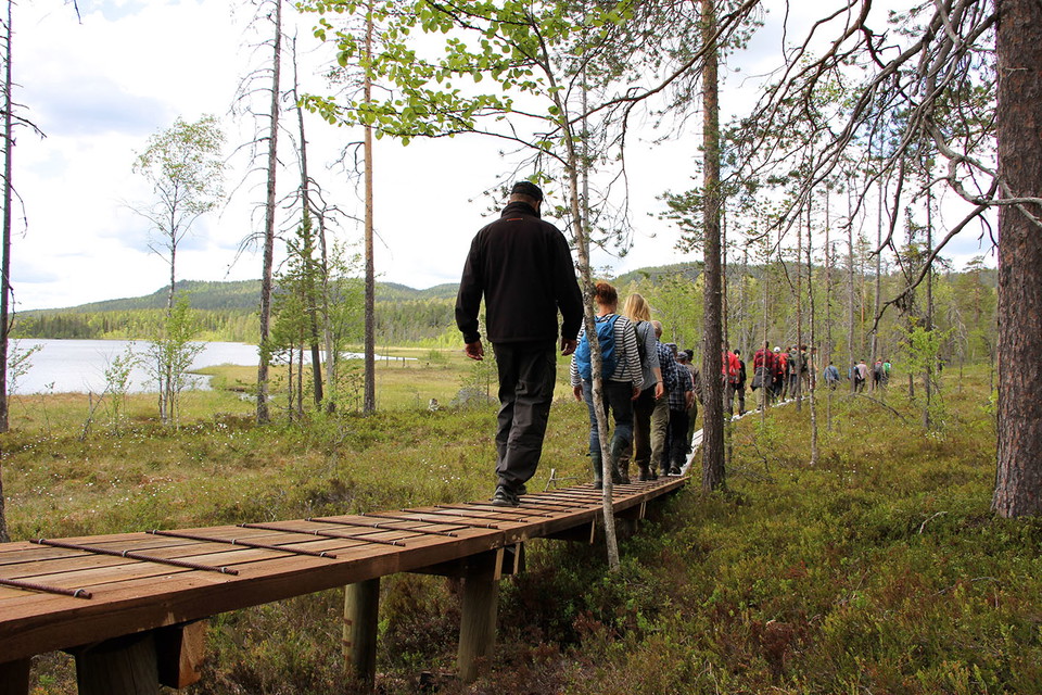
Angsjöleden Björnlandets nationalpark
- Kommune: Åsele
- 6577.40 km fra dig
- 3.7 km
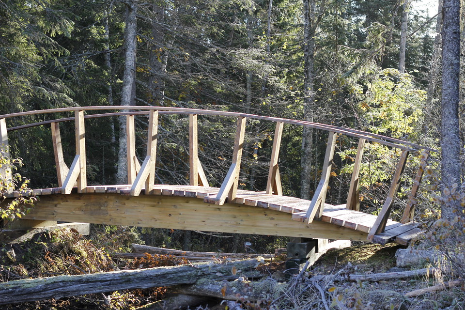
After the entrance area with ramp, information, rest area, cold spring and gold star, the red trail continues over marshes and really nice old forest. After a little over a kilometer you reach Angsjökojan. If you continue around the lake, you will soon pass…
Björnlandsleden Björnlandets nationalpark
- Kommune: Åsele
- 6574.16 km fra dig
- 6.3 km
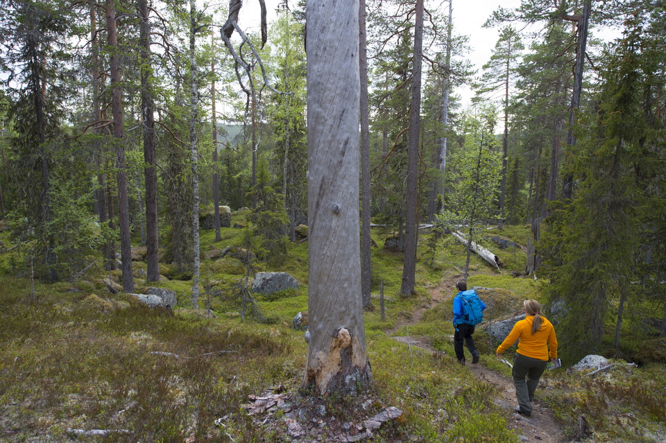
Start i entre Angsjö eller entré Häggsjö. Leden går rakt igenom parken. Leden ansluter till både Svärmorsleden och Angsjöleden så kombinationsmöjligheter finns. Lätt till medelsvår vandring. Följ blå ledmarkering.
Guldbäcksleden Björnlandets nationalpark
- Kommune: Åsele
- 6576.20 km fra dig
- 7.0 km
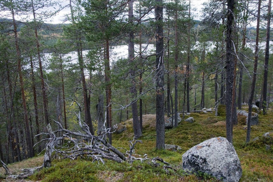
The hike is rich in content and first takes you to the Björnberget rocky outcrops. Then down into the spruce forest along the exciting Guldbäcken where the scent tick leads the hiker between willows with lung lichen. Then through the forest that burned in 1…
Rönnlandsrundan Björnlandets nationalpark
- Kommune: Åsele
- 6574.16 km fra dig
- 4.0 km
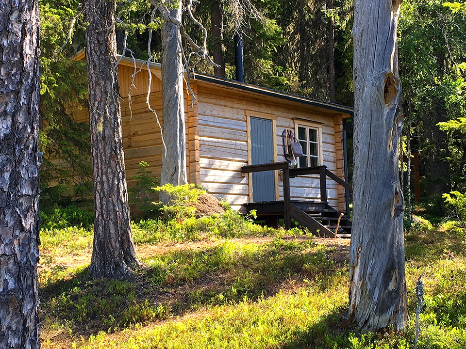
Start entrance Häggsjö. If you choose to walk clockwise, you will soon reach a viewpoint over Råtjärn and the park's marshes. In places the terrain is very rocky, footbridges help the hiker, but there are also parts with "foot wobble ground". At Råtjärn the…
Svärmorsleden Björnlandets nationalpark
- Kommune: Åsele
- 6574.81 km fra dig
- 12.0 km
Perhaps the most powerful trail in the park. A suitable weekend trip can start on Friday evening in Angsjökojan. On Saturday it is then suitable to hike to Svärmorskojan. Take one of the other trails up to the top of Björnberget. Then follow the green trail…
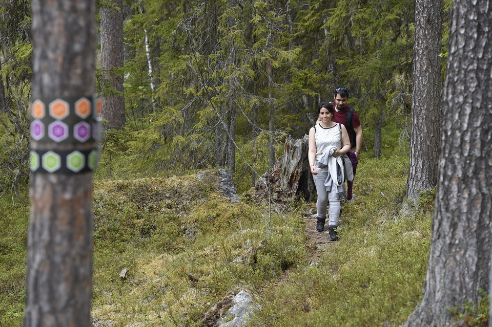
Urskogsrundan Björnlandets nationalpark
- Kommune: Åsele
- 6577.67 km fra dig
- 2.6 km
Start at the Angsjö entrance and pass the cold spring along the ramp. After a few hundred meters on paths you reach the old forest. The trail takes you on a well-trodden path to the boulder sea and old pines. Follow the purple trail markings.
Vandringsled Stor-Almselberget
- Kommune: Åsele
- 6509.39 km fra dig
- 1.1 km
Trail maintained by Meselefors snowmobile club.
Vandringsled Stockholmsgata
- Kommune: Åsele
- 6572.59 km fra dig
- 1.5 km
Note! Watch out for very steep terrain and high cliffs near the trails.
Vandringsled Laraborg
- Kommune: Åsele
- 6522.75 km fra dig
- 3.3 km
The trail is maintained by Åsele municipality.
Bästa vandringslederna i Åsele
Naturkartan samlar de vandringslederna i Åsele som är populärast bland våra användare.
