
-
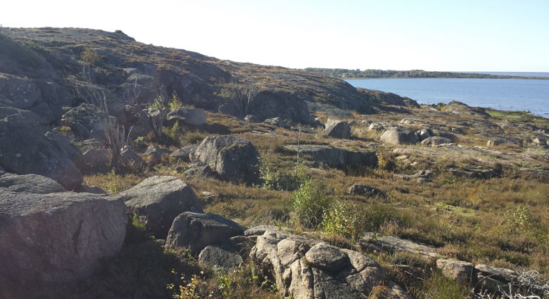
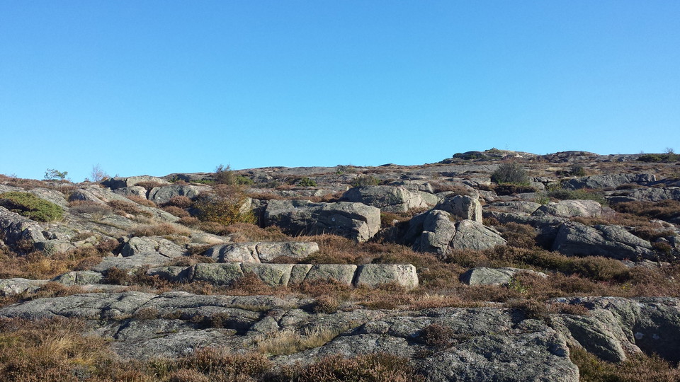
stenigt underlag möter vatten -
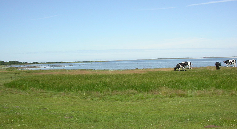
Betande kossor vid kusten -
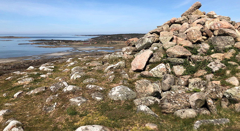
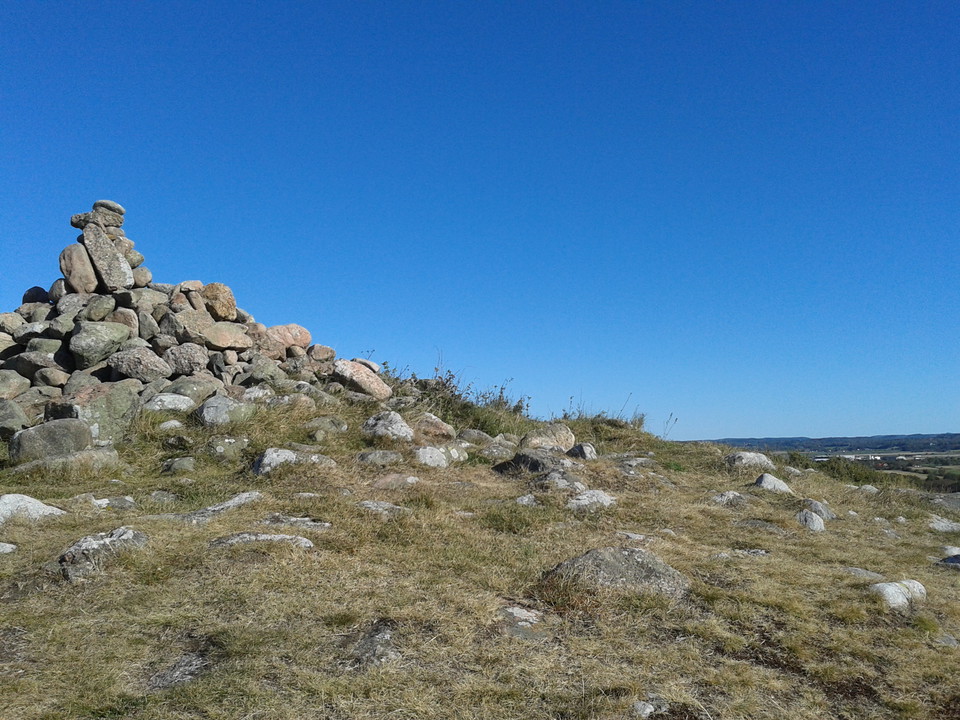
stenröse -
-
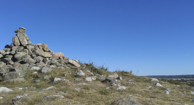
stenar som ligger över varandra som ett berg på marken -
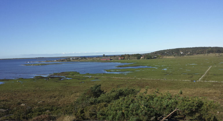
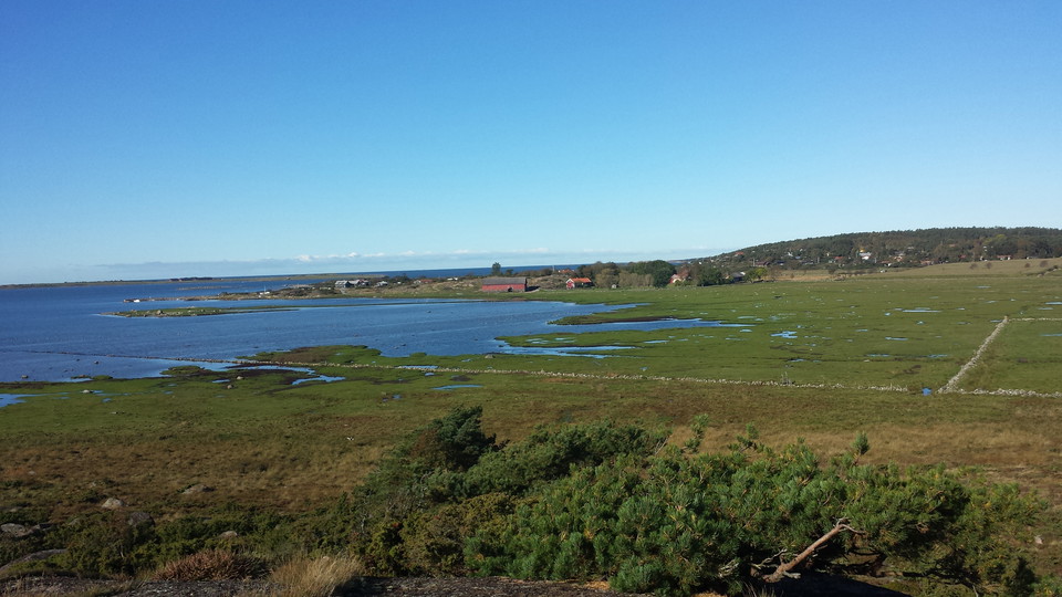
vatten som möter gräsbeklädd mark -
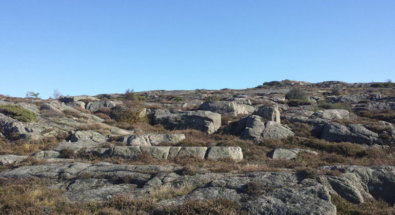
stenigt underlag -
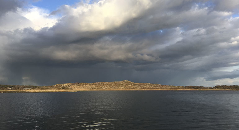
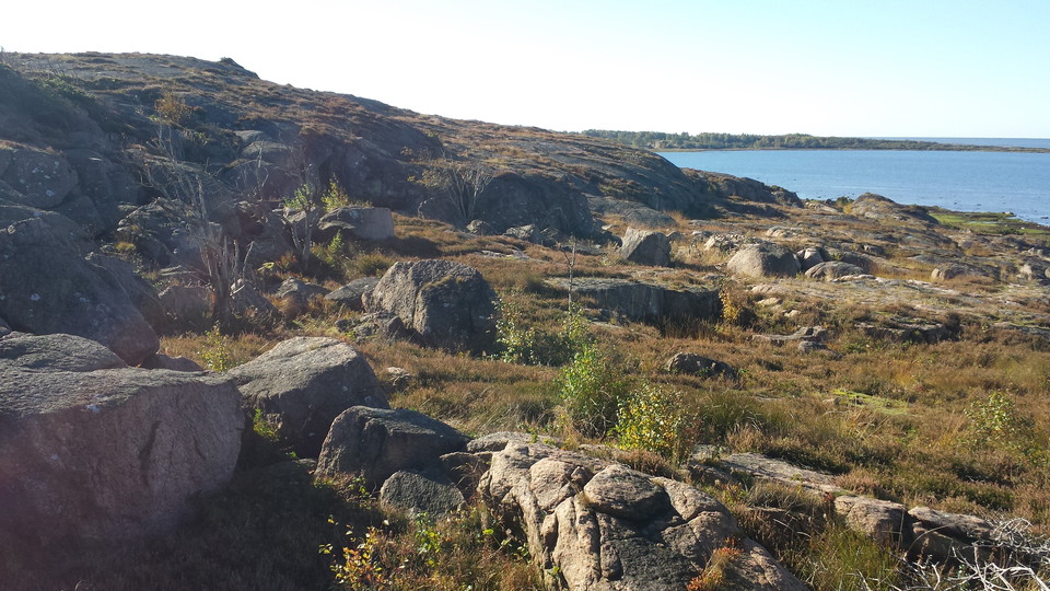
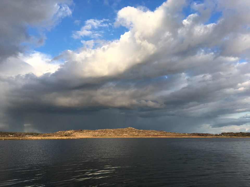
hav möter land -
-
-
-
Gamla Varberg och Fyrkullens kustlandskap, Naturreservat
- Naturreservat
- Amt: Hallands län
Handlinger
Beskrivelse
Gamla Varberg and Fyrkullen are two coastal mountains rising above the sea in an otherwise flat landscape. Gamla Varberg is crowned by a striking Bronze Age cairn. The mountains' heathlands and the flower-rich seashore meadow are grazed. From the mountains you have a beautiful view of the coast all year round.
The Bronze Age cairn high up on the summit gives the mountain a characteristic appearance, even from afar. From the top you have a beautiful view of the coast. Among other things, you can see Varberg and Getterön and the flat island of Balgö. The reserve is well suited to walking and nature study.
Plants and birds
Characteristic plants such as meadowsweet, thyme, spruce and bell gentian thrive on the heath. On the well-grazed coastal meadows that extend down to the sea, you will find sea holly, blue clover, sea holly and glasswort. The coastal meadow to the north of the reserve is one of the most wadden-dense coastal meadow areas in Varberg municipality. Common breeding birds are lapwings, redshanks and oystercatchers. The Fyrstrandsfjord outside is very shallow, only a few meters deep, and forms an important spawning, nursery and foraging area for a number of species - in addition to waders and ducks, also marine organisms such as small crustaceans, shells and fish. At Tångaberg, a long, flat peninsula, Vadskär, extends into the sea to the southwest.
Rich grazing landscape
Maps from the early 1800s of Gamla Varberg and Fyrkullen and their surroundings show a grazed landscape with heather moors and only a few farms. The mountain's grazed heathlands are the largest remnant of this magnificent landscape, in other words, the nature reserve is a keyhole back in time. The mountain may have been open since the Bronze Age, as ancient remains in the area suggest. Since the 1950s, the mountains have slowly become overgrown with juniper and birch due to insufficient grazing and management. In the 1990s, major clearing operations were carried out on Gamla Varberg. Today, the slopes of the mountain are once again covered with grazed heather.
History as a care case mountain
Gamla Varberg has a history as a spring case mountain, where there was a place to light a so-called spring case - a fire placed on a high spot. When trouble was expected in a region, the spring cases were manned and if the enemy was approaching, the case was lit as a warning signal to the population. Vårdkase is the Old Swedish word for sentry.
Aktiviteter og faciliteter
- Naturreservat
Fakta
Dominant habitat types: Mountains with heath, coastal meadow and shallow marine water
Municipality: Varberg
Area: 158 hectares
Protected since: 1966, extended in 2022
Owners: State, municipality, private
Trustee: County Administrative Board
Other: The area is part of Natura 2000
Rutevejledning
Gamla Varbergs and Fyrkullens coastal landscape is located in Varberg municipality.Bicycle: Kattegattleden goes past the reserve and the reserve parking.Public transport: Stop "Gamla Varberg", take the turnoff towards the sea which is 200 meters south.Directions: The reserve is reached via directions from the old E6 north of Varberg. GPS (WGS84): Lat N 57° 9' 36" Lon E 12° 14' 26".
Regler
To protect the nature reserve, the County Administrative Board has decided on special regulations, including those that you as a visitor to the area must follow and respect.
In addition to what applies under other legislation, it is forbidden to:
- during the period from March 1 to July 15 annually stay in the area marked with a red grid on map 2
- practicing board sailing or kite surfing, kite flying (e.g. toy kites, hang gliding and class A ultralight flying) or operating unmanned aircraft (e.g. drones and model airplanes)
- water skiing or wakeboarding or operating jet skis or similar craft
- operate a motorized craft in water at a speed greater than 5 knots
- discharging cooling water except from boat engines, or discharging waste water and tank wash water
- installing a mooring device, or anchoring or mooring with a chain resting on the seabed
- having a boat moored or stored on the beach from 22:00 to 06:00
- have a caravan or motorhome parked in the reserve from 22:00 to 06:00
- drive a motorized vehicle other than on the road and park other than in a designated parking space
- ride a bicycle other than on the road
- put up tents
- make fires other than in the designated area
- put up a board, poster, sign, signpost or make an inscription
- have a dog off the lead
- damage, pick or collect plants, algae, mosses, lichens or fungi other than single specimens. The prohibition does not apply to picking berries and edible mushrooms
- planting plant or animal species alien to the area without the permission of the County Administrative Board
- use traps that kill invertebrates without the permission of the County Administrative Board
- without the permission of the County Administrative Board, carry out surveys that involve marking, collecting, trapping or other impact on the natural environment, and
- organize camps, competitions or events without the permission of the County Administrative Board
Kontakt
Adresse
Kontakta reservatsförvaltningen för frågor, synpunkter och felanmälan.
E-mailadresse
Länsstyrelsen i Hallands län
Organisationens logotype
Jeg har været her 9


Jeg vil gerne derhen 8

Spørgsmål og svar
Stil et spørgsmål til andre Naturkartan-brugere.
Anmeldelser
0 anmeldelser
- 5 :
- 4 :
- 3 :
- 2 :
- 1 :
Brugernes billeder
Der er endnu ingen brugerbilleder. Vær den første til at dele et!
