Örebro län

Bästa löpspåren i Örebro län

Naturkartan samlar de löpspåren i Örebro län som är populärast bland våra användare.

Kort

18 Bästa löpspåren i Örebro län

Løb

Hovstaspåret motionsspår

  • Kommune: Örebro
  • 6697.27 km fra dig
  • 1.8 km

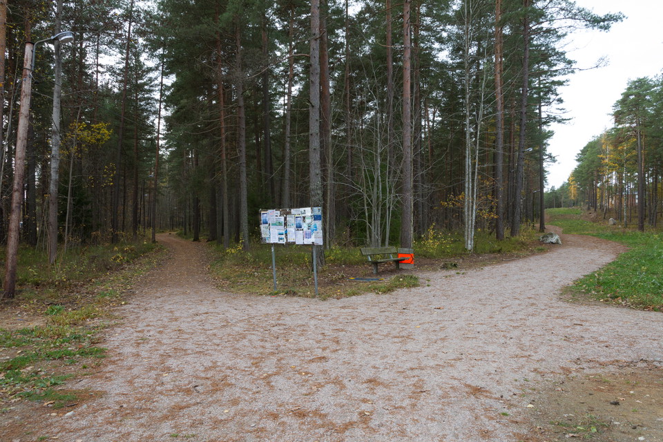
Exercise trail 2.4 km with lighting. Annual maintenance and care of the surface and clearing of undergrowth and tall grass in the immediate vicinity of the track. The trail is managed by Örebro municipality.

Løb

Sanatoriespåret

  • Kommune: Örebro
  • 6698.35 km fra dig
  • 2.7 km

The Sanatorium Trail is a 2.8 km lighted exercise trail. The area also has an outdoor gym, benches and shelters. Parking is available at the trailhead at Mosåsvägen.

Løb

Blänkabackens motionsspår

  • Kommune: Örebro
  • 6705.12 km fra dig
  • 5.2 km

The trail is a total of 5.6 kilometers through a scenic area. There is no lighting, but there are reflective markings around the trail. North of the old Hjälvarvägen is a 900-meter running trail that connects with the longer trail. The trail is managed by Ö…

Løb

Karlslundspåret

  • Kommune: Örebro
  • 6692.88 km fra dig
  • 15.9 km

Tracks with multi-stage lighting and distance markings. Illuminated tracks 1.2 km 2.5 km 3.1 km 5 km Unlit tracks 10 km 15 km The surface of the lighted trails is maintained to keep a good quality for those who want to run / walk. 10-15 km are trails of tra…

Løb

Vivalla-Lundbyspåret (Öknaspåret)

  • Kommune: Örebro
  • 6695.74 km fra dig
  • 6.0 km

Illuminated tracks 1 km and 2.2 km Unlit tracks 5.6 km The surface is regularly maintained to keep a good quality for those who want to run/jog. Brushwood and tall grass are kept down in the immediate vicinity of the track. Car parking is available at Vival…

Løb

Lillåspåret

  • Kommune: Örebro
  • 6699.22 km fra dig
  • 3.4 km

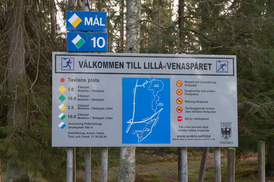
Track with lighting and distance markers. Illuminated track 3.4 km. The surface is regularly maintained to keep a good quality for those who want to run/jog. Brushwood and tall grass are kept down in the immediate vicinity of the trail. The trail has a conn…

Løb

Venaspåret

  • Kommune: Örebro
  • 6700.37 km fra dig
  • 2.9 km

Venaspåret is a lighted track of 2.9 km with a connection up to Lillåspåret. The entire stretch Vena-Lillåspåret is 10 km with lighting all the way. There are also barbecue areas and windbreaks in the area. Parking is available at the track start at Korpral…

Løb

Lillåspåret–Vena motionsspår, anslutningspår

  • Kommune: Örebro
  • 6699.88 km fra dig
  • 1.8 km

Track with lighting 2 km. The trail links Lillåspåret and Venaspåret. The surface is regularly maintained to maintain a good quality for those who want to run/jog. Brushwood and tall grass are kept down in the immediate vicinity of the trail. The trail is m…

Gåtur

Blänkabackens stig

  • Kommune: Örebro
  • 6704.91 km fra dig
  • 2.5 km

The trail takes you through the entire nature reserve and also connects to Östra Almby's exercise trail. The trail is about 2.5 km long.

Løb

Skölvboslättspåret

  • Kommune: Örebro
  • 6707.61 km fra dig
  • 2.5 km

Track 2.3 km in Glanshammar, without lighting with distance markers.

Løb

Vintrosa elljusspår

  • Kommune: Örebro
  • 6687.66 km fra dig
  • 1.7 km

Tracks with lighting and distance markers. About 2 km. Annual clearing of undergrowth and tall grass in the immediate vicinity of the trail. The trail is managed by Vintrosa IS.

Gåtur

Åstråket

  • Kommune: Örebro
  • 6696.81 km fra dig
  • 33.3 km

Promenad- och joggingstråk utmed Svartån "Åstråket" går längs Svartån ut till Örebros citynära natur. Broar utmed ån gör det enkelt att välja mellan nio rundslingor i lätt och flack terräng. På vägen från startpunkten vid Slottet tar du dig österut mot natu…

Vandring

Rundslinga Göljestigen

  • Kommune: Örebro
  • 6682.20 km fra dig
  • 5.2 km

Along certain sections of the trail you follow the Göljebäcken stream, but also passing another stream, Per-Alriks bäck, and Lake Göljan. There are several resting places with fire places. The trail takes you past a distinctive pebble and boulder-strewn are…

Gåtur

Stig i Östra hagen

  • Kommune: Örebro
  • 6704.79 km fra dig
  • 2.1 km

Narrow winding path in the meadow. Great to walk, but quite narrow, rocky and hilly, so not suitable for strollers.

Vandring

Rundslinga Gårdsjötorp - högsta punkten

  • Kommune: Örebro
  • 6681.55 km fra dig
  • 6.2 km

The trail leads you up to the highest point in Kilsbergen, where you can greet Nybyggaren, a carved wooden figure standing beside the path awaiting your arrival. You can also take a well-earned break at the resting place at Tomasboda. Why not make the whole…

Bästa löpspåren i Örebro län

Naturkartan samlar de löpspåren i Örebro län som är populärast bland våra användare.

Naturkartan

Åbn dette i appen