Cykel- och vandringsled, Kyrkbyåsen
- Kommune: Hallstahammar
- 6734.93 km fra dig
- 0.8 km
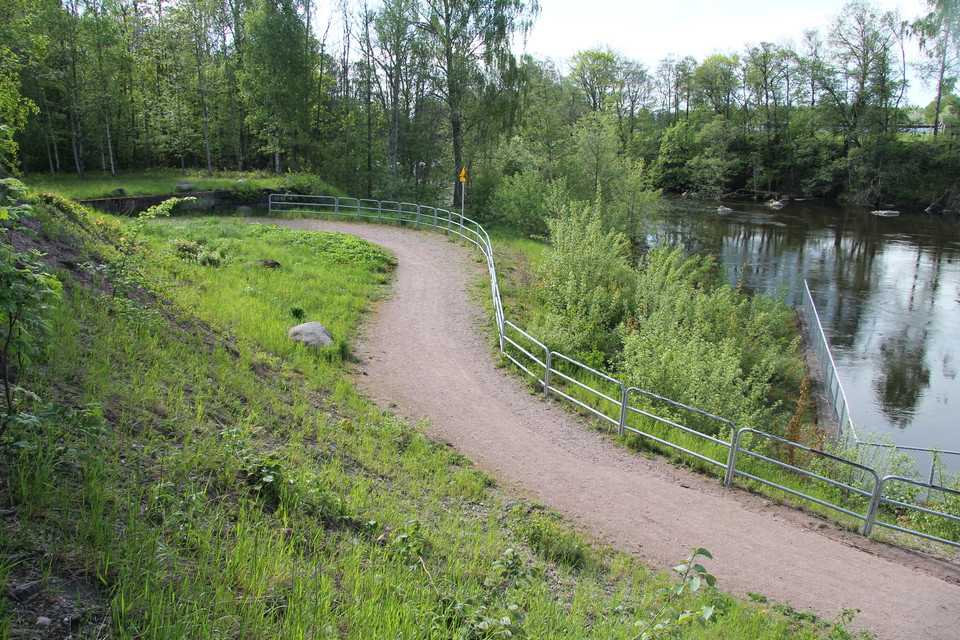
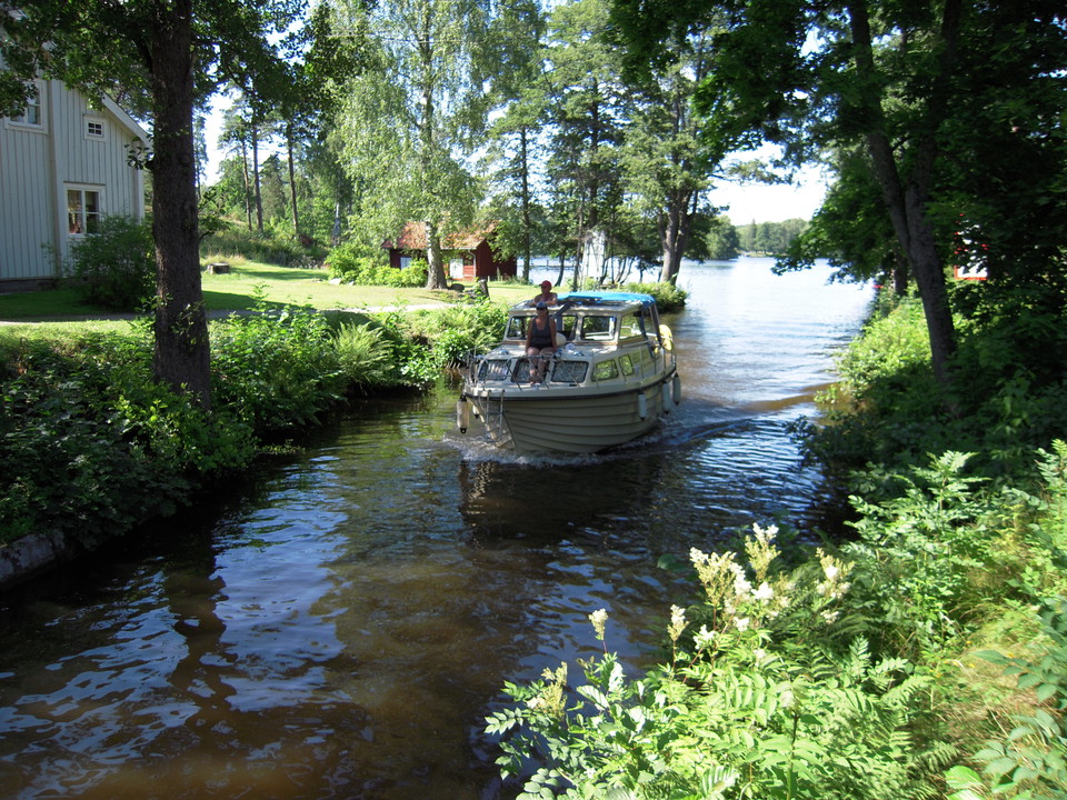
The path is about 800 m long and is also part of the cycle path "Along Strömsholm Canal".

Hallstahammar
Naturkartan samlar de vandringslederna i Hallstahammar som är populärast bland våra användare.
The path is about 800 m long and is also part of the cycle path "Along Strömsholm Canal".
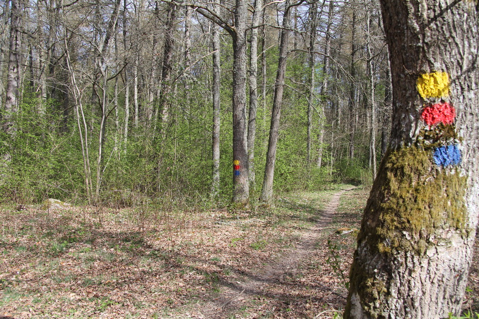
Here you can choose between three loops, Björkstigen 1 km (blue marking), Ekstigen 2.5 km (red marking) and Granstigen 4 km (yellow marking).
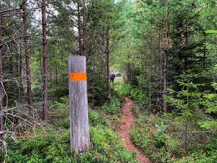
Around the entire reserve there is a 2.75 kilometer long hiking trail. It consists of wider, gravel paths and bicycle and foot paths. The trail is marked with orange color. There are also several different narrower forest paths that branch off from the main…
Bruksleden between Hallstahammar and Långsjön is a nice stretch where you walk on forest trails almost all the time. It is quite easy to hike in Hallstahammar's surroundings as there are no large mountains or steep slopes. The nature is rich in plants and a…
The trails in the nature reserve are about 3.5 kilometers and follow orange trail markings. There are also several well-trodden paths in the forest.
The Veterinary Loop is one of 4 other loops where you can listen to the importance of the horse at Strömsholm. This loop is 2 km long and takes about 45 minutes to walk under the guidance of narrator Magnus Tannergren. The loop runs on paved surfaces from K…
This trail is 0.8 km long and takes about 25 minutes to walk under the guidance of narrator Magnus Tannergren. The loop runs on hard surfaces where you in some cases share the space with horse teams. The loop goes from Knytpunkten via Markan and ridvägen to…
This trail is 0.6 km long and takes about 40 minutes to complete, led by narrator Jan Fristedt. The loop runs on hard surfaces where you can meet horse teams. The loop goes from Knytpunkten and around the stable area via Markan and back to Knytpunkten. You…
The Slotts loop is 1.1 km long and takes about 40 minutes to walk under the guidance of the narrator Karin Morgan. The loop runs partly on surfaces where you in some cases share the space with horse carriages. Remember to show consideration and kindness to…
Tävlingarnas Strömsholm är 1,2 km lång och tar c:a 50 minuter att gå under ledning av berättaren Jan Fristedt. Slingan går till stor del på gräs och i terrängen, där du i vissa fall delar utrymmet med hästekipage. Slingan går från slottets entré till Hästky…
The Åsby-Skantzen cultural area in Hallstahammar has several different walking trails that run on existing pedestrian and cycle paths in the area. Some stretches run on paved surfaces while others run on gravel roads. There is no existing trail marking for…
Nice walking loop in the Åsby-Skantzen area. The loop goes past the artificial lake Skantzsjön and goes along Strömsholm's canal and in Sörkvarnsforsen's nature reserve. The loop runs on existing footpaths and cycle paths in the area and on both paved and g…
A nice round that takes you around the entire ÅsbySkantzen area. The loop is about 6.5 km and runs for the most part on gravel surfaces. Some stretches are on paths with existing natural surface. This is especially true in the northern part and on the easte…
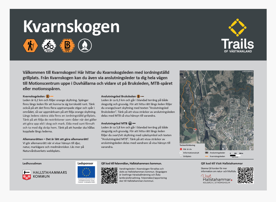
This trail starts in Kvarnskogen and continues up towards Motionscentrum to then take you out to Bruksleden. The trail is about 6.3 km and runs in mixed terrain on both forest paths and gravel roads. To find your way along the trail, follow the orange/black…
Welcome to Kvarnskogen! Here you will find the Kvarnskog trail with a prepared barbecue area. From Kvarnskogen you can also use connecting trails to get all the way to the Exercise Center up in Duvhällarna and further out on Bruksleden, MTB trail or exercis…
Naturkartan samlar de vandringslederna i Hallstahammar som är populärast bland våra användare.