
Blå led Östra Kullaberg
- Vandring
- Amt: Skåne län
- 6718.85 km fra dig
Ruteoplysninger
- Længde 5.8 km
Handlinger
Beskrivelse
Aktiviteter og faciliteter
- Vandring
Fakta
Mosses, hills and deep valleys
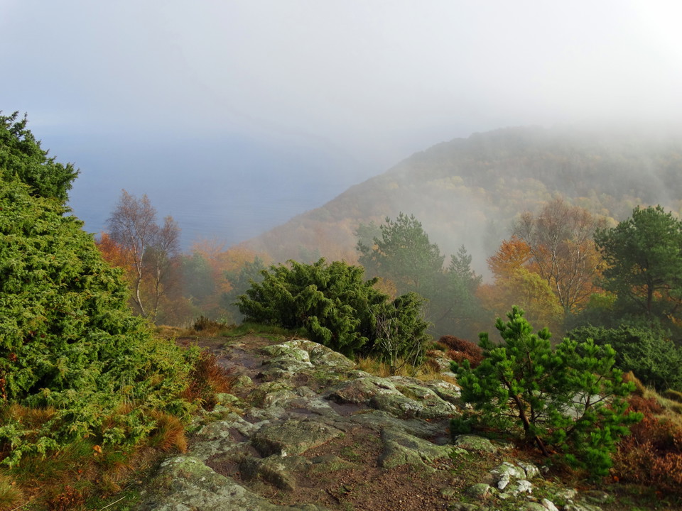
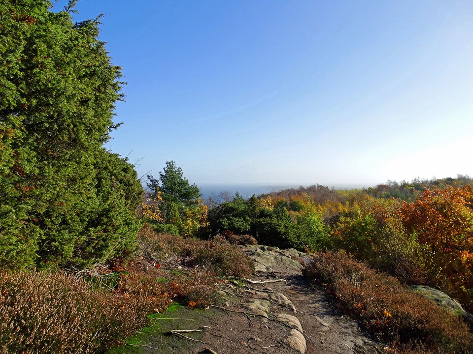
The Blue Trail on Östra Kullaberg starts at Djupadal and runs east along the northern heights of the mountain to Himmelstorpsgården - about 6-8 km basic distance, or longer if you include the summit visits and detours. Allow 3-7 hours depending on what you choose to do along the way. This is Kullaberg's toughest hike: hilly forest trails full of rocks and roots, steep climbs and large height differences. Sturdy shoes are a must.
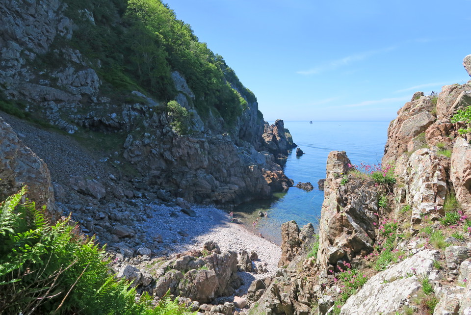
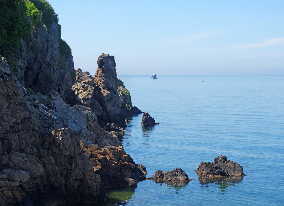
It's worth starting the day with a detour down along Djupadalsravinen itself - Kullaberg's largest crevice, which cuts across the ridge down to a beach cove with pebbles in varying colors. The path runs through beautiful deciduous forest between high rock walls, and steps facilitate the descent - however, they can be slippery in wet weather. This is the home of the peregrine falcon, so during the period March 1 - July 15, it is forbidden to enter.
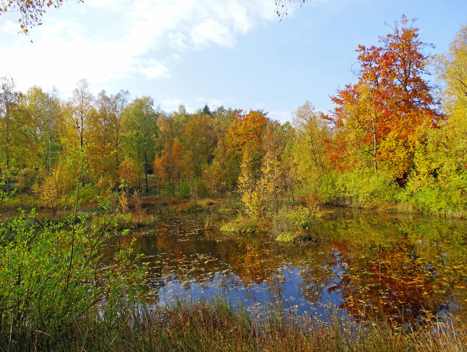
Early on the trail you pass Ona bog, a more desolate wetland surrounded by white and bear moss. On these mosses grow various species of sedges and sedges, meadowsweet, crow's claw, vetch and spikeleaf.Stick to the path here - around the bog there are gungflyn, land that looks solid but has bottomless dune underneath. Further east, you can make a detour to Mölle bog. This is a picturesque wetland where water lilies float on the surface of the water in the summer and great crested newts play on the shore in the spring. The path around the bog is partly walked.
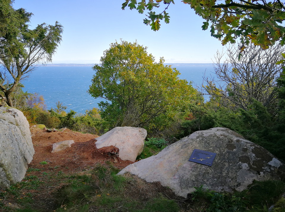
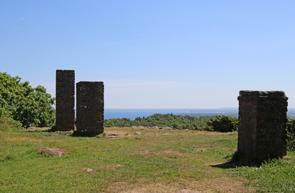
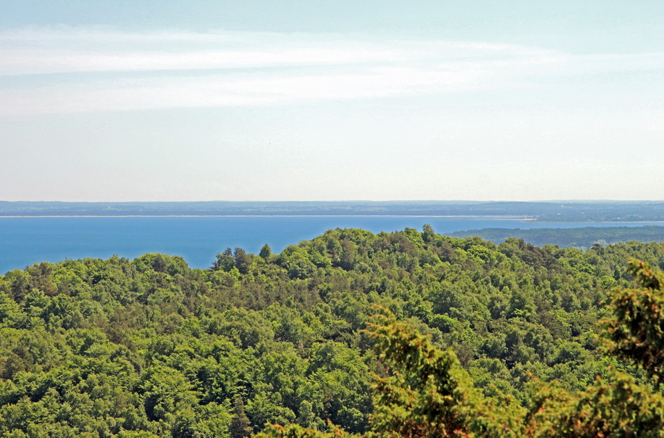
Further east, Kullaberg's two highest points await. Gregers slopes (175 meters) offer almost 360 degree views of Skälderviken, Bjärehalvön and Torekov. Here is a quiet memorial plaque to four young pilots who died when their Vampire plane flew straight into the mountainside in dense fog on March 4, 1956. Just east is Håkull - Kullaberg's peak at 187 meters - where on a clear day you can see all the way to Hallands Väderö and the Danish coast. At the top are the remains of three brick pillars from a triangular grid for map measurement around the turn of the century 1900. Then comes Sadeln at 167 meters, reachable via a short detour through an almost fairytale-like magic forest of old, moss-covered trees.
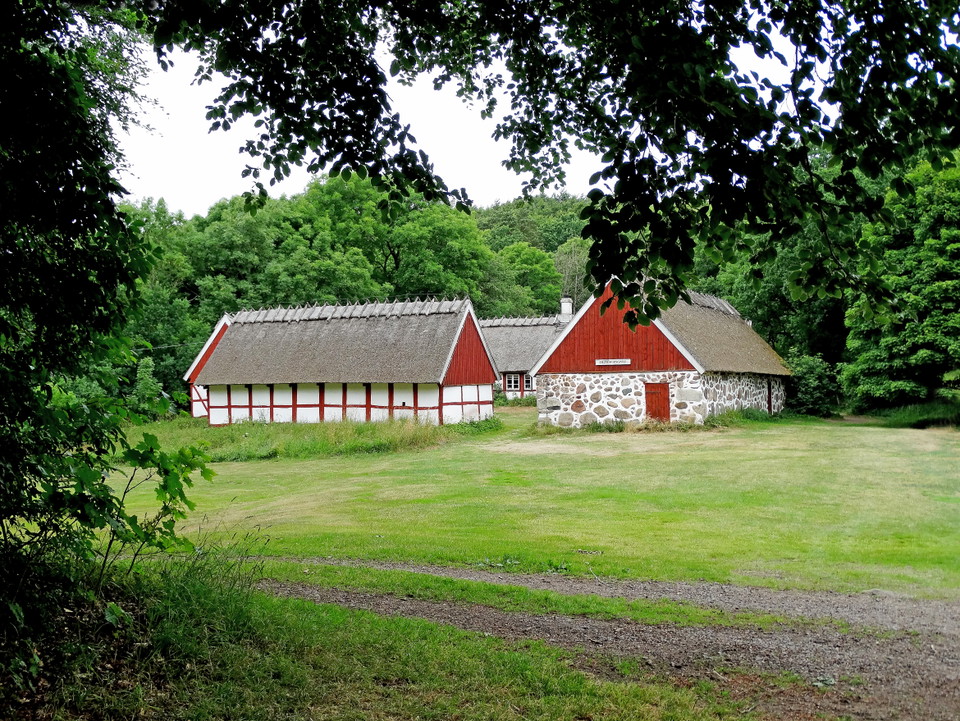
The trail ends at Himmelstorpsgården, a four-length half-timbered farmhouse dating back to the 15th century and today a listed building that is a homestead. In summer, the garden is open as a café. Just below the farm there are three Iron Age judge's rings, evidence of a burial ground much older than the farm itself. From here you can continue on the red eastern trail down to the medieval fishing village of Arild.
Rutevejledning
Walk, cycle, take public transport or drive here. On the map, you can click on a parking lot or access point. For directions, click on the 'Find here' arrow (below the map).
Regler
**Kullaberg consists of two nature reserves, Västra and Östra Kullaberg. Kullaberg has very high natural values that we want to protect, so special rules apply here and only parts of the right of public access apply.
Here it is forbidden, among other things, to:
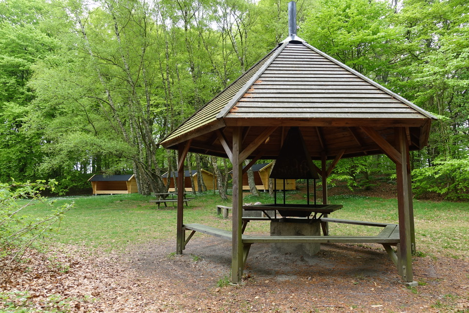
- make fires anywhere other than in our barbecue areas
- camping anywhere other than at our campsite at the lighthouse parking lot
- having a dog unleashed
- disturbing wildlife
- picking or digging up flowers
- stay or drive a boat during the period March 1 to July 15 within the marked areas in the map appendices for Västra and Östra Kullaberg.
[All regulations (rules) can be found here (https://www.lansstyrelsen.se/skane/besoksmal/naturreservat/hoganas/kullaberg.html?sv.target=12.382c024b1800285d5863a89a&sv.12.382c024b1800285d5863a89a.route=/&searchString=&counties=&municipalities=&reserveTypes=&natureTypes=&accessibility=&facilities=&sort=none)
Kontakt
Adresse
Under LÄNKAR kommer du till aktuell reservatssida på Länsstyrelsens webbplats, med fördjupande information som kartor, broschyrer och hänvisning till relevanta aktörer. Här finns även en rapportfunktion för dig som vill lämna uppgifter om naturreservaten som vi förvaltar.
E-mailadresse
Organisationens logotype

Jeg har været her 3


Jeg vil gerne derhen 4
Anmeldelser
—
0 anmeldelser
- 5 :
- 4 :
- 3 :
- 2 :
- 1 :
Spørgsmål og svar
Stil et spørgsmål til andre Naturkartan-brugere.
Brugernes billeder
Del dine billeder fra stedet!
