Ljungby

Bästa vandringslederna i Ljungby

Naturkartan samlar de vandringslederna i Ljungby som är populärast bland våra användare.

Kort

80 Bästa vandringslederna i Ljungby

Vandring

FK Finns motionsslingor vid Bräkentorpasjön

  • Kommune: Ljungby
  • 6772.04 km fra dig
  • 11.2 km

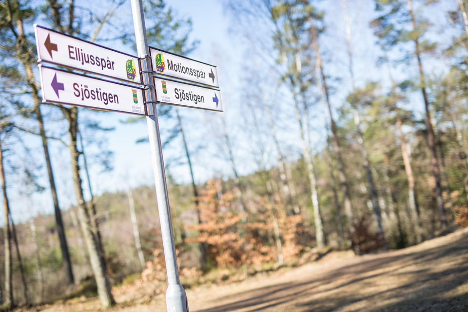
In the forest around Finnstugan there are several paths and FK Finn in Ljungby is responsible for a lighted path of about 3 km and exercise loops of varying lengths that start from Finnstugan.
Vandring

Hunnsbergsrundan

  • Kommune: Ljungby
  • 6739.36 km fra dig
  • 1.4 km
  • Sværhedsgrad: Rød

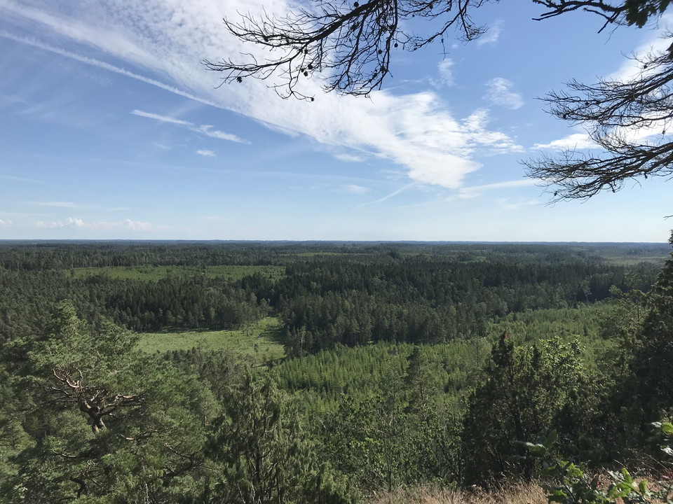
Southwest of Lidhult lies Ljungby’s highest point; Hunnsberget at 230 meters above sea level, offering a wonderful view of the Småland forest and marshland. Hunnsberget is one of the legendary places in Sagobygden, with the tale of Sutaren, the shoemaker, w…

Vandring

Högarörsrundan

  • Kommune: Ljungby
  • 6768.00 km fra dig
  • 0.8 km
  • Sværhedsgrad: Blå

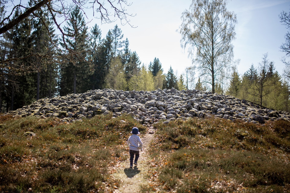
A few kilometers outside Ljungby towards Kånna there is an exciting place, Högarör, which is a 3500-year-old cairn from the Bronze Age. It is located on a hill east of the river The law. Högarör is also one of Sagobygdens saying places. It is said that ther…

Vandring

Bolmsö gamla kyrkväg

  • Kommune: Ljungby
  • 6746.31 km fra dig
  • 15.2 km
  • Sværhedsgrad: Blå

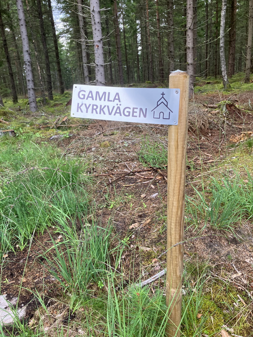
The Tannåker-Bolmsö Gymnastics Association has marked the old church path from Bolmsö Church to Bakarebo. The hiking trail follows old paths and existing roads. The church path was mostly a trail that passed the cottages and hillside huts located on the wes…

Vandring

Promenera Bolmsö runt

  • Kommune: Ljungby
  • 6746.39 km fra dig
  • 20.1 km
  • Sværhedsgrad: Grøn

The Tannåker-Bolmsö Gymnastics Association has marked the old church road from Bolmsö Church to Bakarebo. The hiking trail follows old paths and existing roads. Follow the road from Bakarebo, turn towards Håringe, and return to Bolmsö kyrkby for a delightfu…

Vandring

Sjöstigen vid Skeen

  • Kommune: Ljungby
  • 6755.42 km fra dig
  • 3.3 km
  • Sværhedsgrad: Blå

Sjöstigen” is a longer trail that can connect to the “Kanalrundan.” It is unmarked and partly follows narrow paths, occasionally requiring you to hop over small streams. The trail is more challenging and harder to follow, but it offers beautiful lakeside vi…

Vandring

Bolmen - Unnen rundan

  • Kommune: Ljungby
  • 6745.33 km fra dig
  • 16.9 km
  • Sværhedsgrad: Blå

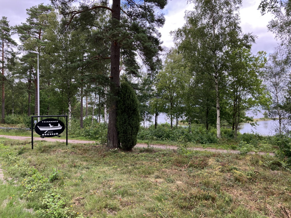
Take a tour from Odensjö’s beach along paved roads between the lakes Bolmen and Unnen. The tour is not signposted, but feel free to use the app’s map to stay on course.

Vandring

Ljushultasjön runt

  • Kommune: Ljungby
  • 6746.54 km fra dig
  • 6.5 km

The hiking trail takes you around Vrå along Krokån and Ljushultasjön. It can sometimes be slightly damp and challenging to find; in that case, choose the country road, which also offers a beautiful hiking experience. The trail is unmarked, so feel free to u…

Cykling

Näsarundan

  • Kommune: Ljungby
  • 6765.00 km fra dig
  • 9.1 km

Take a trip past the Karlsro industrial area and follow a delightful forest road past grave fields and Gamla Näs. You can choose between a short or long trip. The route is not signposted, so please follow the map in the app.🌲🗺️ This text is AI-generated.

Vandring

Promenad utmed Näsasjön

  • Kommune: Ljungby
  • 6764.42 km fra dig
  • 4.0 km
  • Sværhedsgrad: Blå

A nice round on an old forest road/path along Nässjön. Unfortunately, the lake is not visible due to the forest along the lakeside. The road/path may be difficult to navigate due to tall grass and undergrowth. But the more people walk there, the easier it b…

Vandring

Askakens badplatsrunda

  • Kommune: Ljungby
  • 6741.56 km fra dig
  • 0.5 km

Cozy trail around Askaken bathing place. The trail also takes you to the Lidhultåsen hiking trail.

Vandring

Bolmenmarschen

  • Kommune: Ljungby
  • 6742.61 km fra dig
  • 114.3 km

Every year, on the first weekend in August, Lake Bolmen is transformed into a hiking enthusiast's dream when the Ljungby Hiking Association organizes the annual Bolmenmarschen. This 125 km hike, spread over three days, offers a unique opportunity to explore…

Trail-løb

Bergarundan

  • Kommune: Ljungby
  • 6764.88 km fra dig
  • 2.0 km

Bergarundan går längs det gamla elljusspåret som är en naturstig i barrskog uppe på och längs åsen vid Ringbadet, väster om samhället. Stigen är inte upplyst och delvis ganska brant. Rundan är markerad med gröna skyltar och stolpar.

Bästa vandringslederna i Ljungby

Naturkartan samlar de vandringslederna i Ljungby som är populärast bland våra användare.

Naturkartan

Åbn dette i appen