
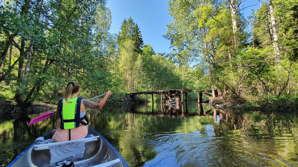
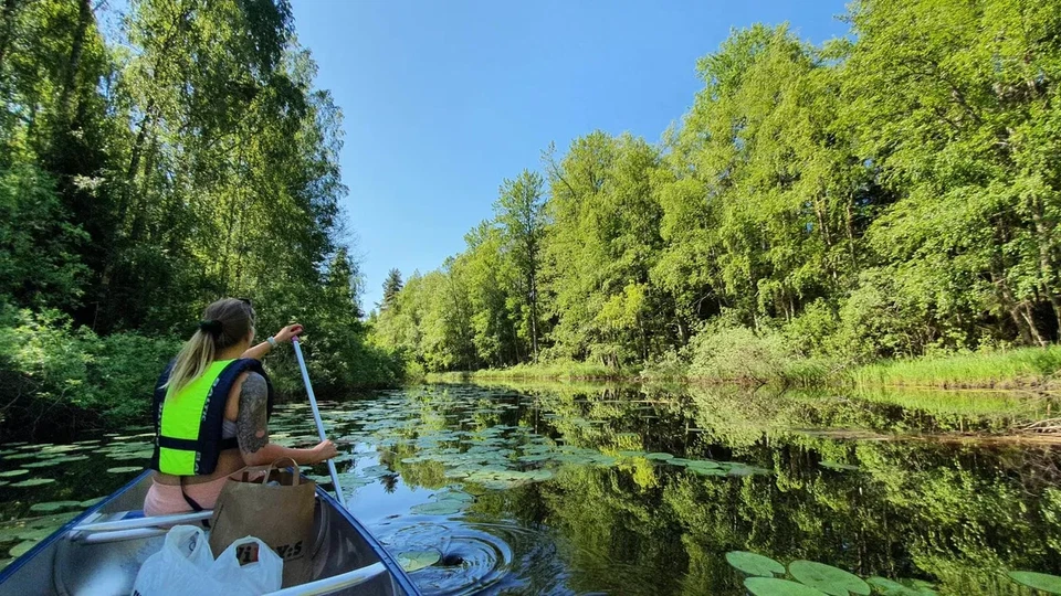
Kanotleden i Ödmården
- Kanosejlads
- Børneeventyr
- Amt: Gävleborgs län
- 6677.64 km fra dig
Ruteoplysninger
- Længde 25.0 km
- Sværhedsgrad Grøn – enkel
Handlinger
Beskrivelse
Aktiviteter og faciliteter
- Kanosejlads
- Børneeventyr
Fakta
The tour suggestions are developed by the association Söderhamnspaddlarna and described in text and with an accompanying map. However, you cannot navigate solely according to the guide. You must of course have real maps (and compass) on the trip. Four 1:50 000 map sheets cover all tours.
For the coastal part, from north to south, you will need:
- Söderhamn 15 H SV
- Söderhamn 14 H NW
- Söderhamn 14 H SW
For the lakes/rivers you need the terrain map Kilafors 658.
Overflade
Depending on rainfall and time of year, the amount of water in the rivers can vary. Rocks are present.
Vegetation
Var beredd på att det kan ligga träd över leden som blåst ned eller som råkat ut för bäver.
Parkering
En liten parkering finns vid Sundsbron, ett tips är att samåka om ni är ett gäng
Rutevejledning
If you come from Söderhamn, drive to Bergvik, down to Stråtjära, continue in the direction of Holmsveden. After about 5 km turn left at the sign for Älgnäs, Småströmmarna. Then follow the road until you come to Sundsbron, where is the landing place and starting point for the paddle.
If you come from the south, go towards Bollnäs at the roundabout at Tönnebro. Continue about 2 km. At the sign for Älgnäs, Tönnånger. Turn left and continue on that road until you reach Sundsbron.
Kontakt
E-mailadresse
Visit Söderhamn
Organisationens logotype

Jeg har været her 2

Jeg vil gerne derhen
Anmeldelser
4.3
1 anmeldelse
- 5 :
- 4 :
- 3 :
- 2 :
- 1 :
Spørgsmål og svar
Stil et spørgsmål til andre Naturkartan-brugere.
Brugernes billeder
Del dine billeder fra stedet!

Otroligt vacker och harmonisk paddling! Bästa tiden är maj/juni
Hej Ida,
Tack för ditt inlägg och att du haft en härlig paddling!