Örebro län

Forhistorisk/kulturarv

Kort

5 Forhistorisk/kulturarv

Etapemål

Etappmål Pershyttan

  • Kommune: Nora
  • 6677.95 km fra dig

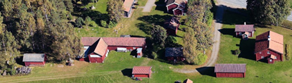
To get to Pershyttan, take off from county road 244 Örebro-Hällefors at the turnoff towards Nora and follow the highway towards Pershyttan, it is signposted. There is a parking lot, toilet, water and seasonal restaurant. In the village there are also a coup…

Kulturmiljø

Ramundeboda Klosterruin

  • Kommune: Laxå
  • 6682.85 km fra dig

At Lake Borasjön on the E20 motorway, 4 km west of Laxå, you can find the remains of a Antonite monastery, which was built at the end of the 13th century. Ramundeboda is also the original place where the Ramundeboda Church stood, which later moved to Laxå.…

Forhistorisk/kulturarv

Finnerödja Hembygdsföreningen

  • Kommune: Laxå
  • 6678.93 km fra dig

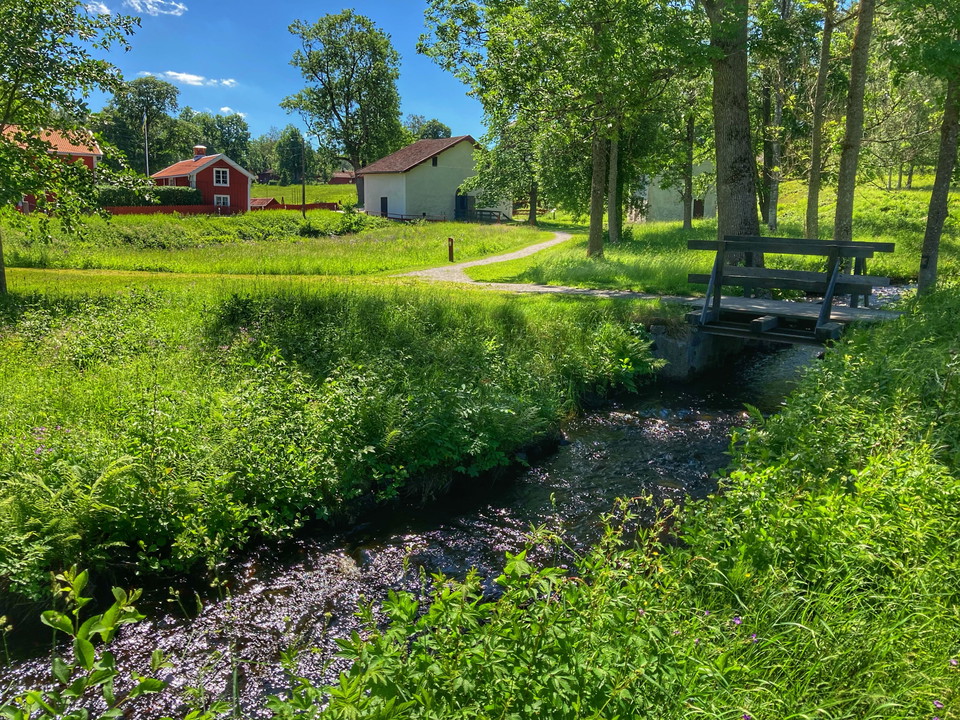
Hembygdsgården is an old bell tower, surrounded by greenery. It has been on the site since the 17th century. There are several interesting buildings, such as a school museum, a baker's cottage, a flax sauna and a smithy. The association also has a café, a s…

Forhistorisk/kulturarv

Blå grottan

  • Kommune: Örebro
  • 6686.18 km fra dig
  • 0.2 km
  • Sværhedsgrad: Blå

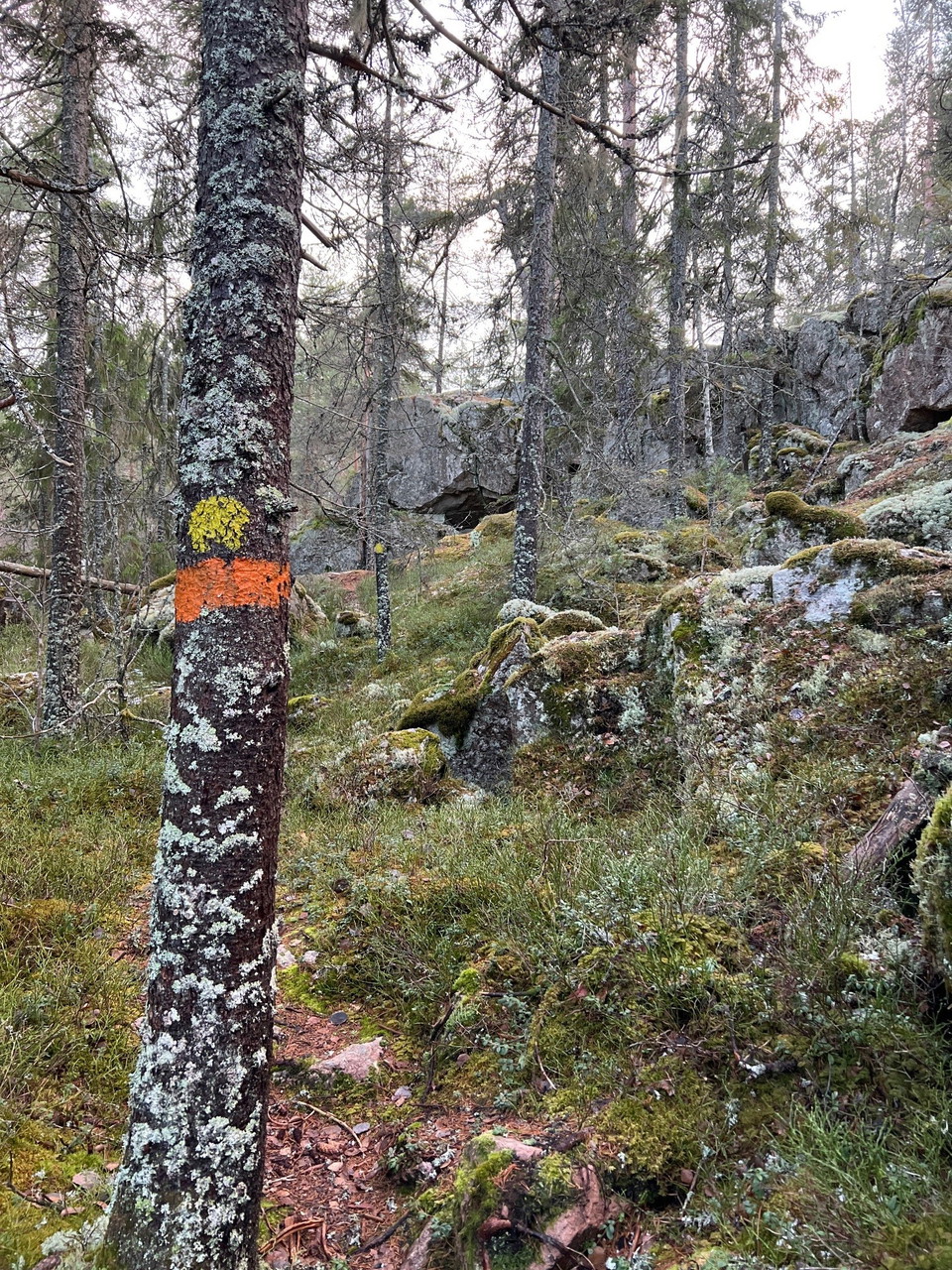
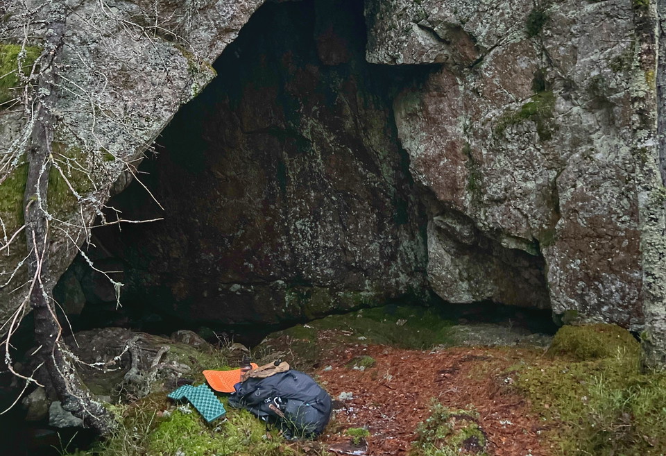
The Blue Cave is a cave formation on the edge of the Skärmaboda area in connection with stage 8. It is a typical boulder cave with a depth of approx. 8 m. and maximum height approx. 4 m.

Forhistorisk/kulturarv

Frihetsportalen

  • Kommune: Örebro
  • 6685.83 km fra dig
  • 0.5 km
  • Sværhedsgrad: Blå

Frihetsportalen is a cave formation on the edge of the Skärmaboda area in connection with stage 8. The cave consists of a 15 meter long crack that you can walk through.

Naturkartan

Åbn dette i appen