ARK56 - Blekinges länkade kustleder
Länkade kustleder i ett Unesco biosfärområde


Year of protection: 1971
Municipality: Ronneby
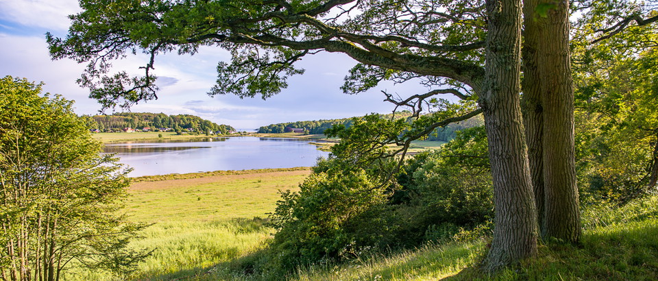
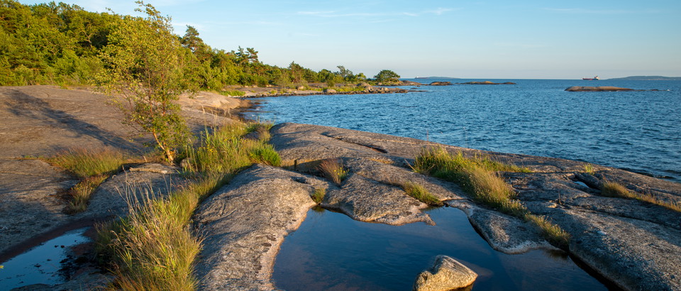
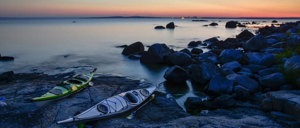
Character: Coastal deciduous forest, rocky areas, beach meadows, sea bays
Area: 151 hectares, of which 94 hectares are land and 58 hectares water
Landowner: Ronneby municipality
Administrator: Blekinge County Administrative Board
Form of protection: Nature reserve and Natura 2000
• Turn off the E22 at junction 55 and follow the signs to Järnavik.
You are welcome to visit Järnavik, but please note that it is not allowed to:
Länsstyrelsen Blekinge



Stil et spørgsmål til andre Naturkartan-brugere.
0 anmeldelser
Der er endnu ingen brugerbilleder. Vær den første til at dele et!