


Nipleden
- Vandring
- Amt: Västernorrlands län
- 6579.55 km fra dig
Ruteoplysninger
- Længde 27.0 km
- Sværhedsgrad Blå – mellem
Handlinger
Beskrivelse
Aktiviteter og faciliteter
- Vandring
Fakta
**Granvågsnipornas nature reserve
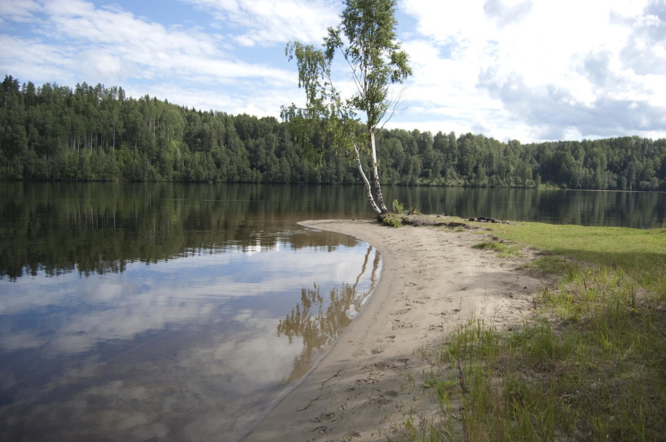
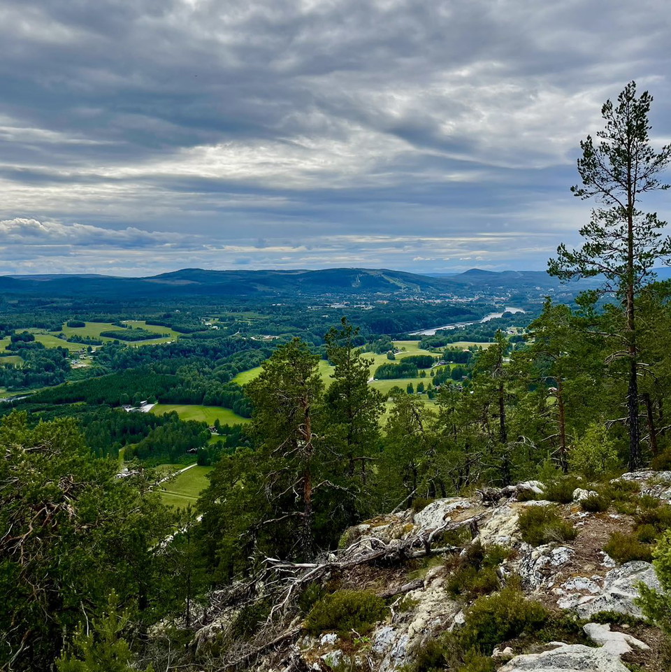
Granvågsniporna is the name given to the three hills Borgen, Svalnipan and Rödskäggsnipan, which stand like mighty sentinels at the inflow of the Faxälven into the Ångermanälven. From the top of the hill, there is a magnificent view of the river and the surrounding landscape in one of the most beautiful parts of Ådalen. The reserve has easy walking trails, picnic areas, a picnic hut, barbecue area and toilet.
**How the nipas were formed
During the time when the inland ice melted, the ice edge moved further and further into the Ångermanälven valley. Around 9,000 years ago, it was in the Sollefteå area and the valley outside was a sea bay. The meltwater from tunnels under the ice carried stones and gravel and formed a gravel ridge where the ice flowed into the sea. Fine-grained silt was carried further out into the bay. The ice sheet melted quickly. Less than 200 years later, the ice edge lay on the land slope just inside Junsele. The sharp rise in the land meant that the bay became smaller and smaller and the Ice River began to flow out closer and closer to Granvåg, which can be seen in the various layers of soil in the nipas. Eventually a branched estuary was formed when the river flowed into the sea at Granvåg.
**Osteråsens health center
Just west of Sollefteå, with a fantastic view of the Ångermanälven river and the beautiful Ådalen valley, lies Österåsen - a place dating back to the early 1900s. The health center is located in one of Sweden's most beautiful places with the nip landscape of the Ångermanälven at its feet. Österåsen is also known for its collection of Swedish 20th century art. Here you can stay, go to the spa or choose one of the health center's wide range of treatments. There are fitness facilities and easy walking paths.
Overflade
Mainly forest trails, nipas and short stretches of gravel road.
Obstacles on the trail? If you encounter obstacles on the trail in the form of trees, broken paths or incorrect and unclear signs, we would like you to notify us. Send an email to info@solleftea.se and describe the obstacle and where it is located.
Bakker
Klättring uppför nipor och vandring nedför förekommer. Främst klättringen upp till Österåsen Hälsohem kan vara fysiskt ansträngande.
Parkering
Parking is available at Risön, Västra skogen, Österåsens Hälsohem and in Forsmo.
Rutevejledning
It is easy to find your way to Nipleden. It starts in central Sollefteå at Sollefteå camping and is then well signposted. You can also choose to start at Österåsen Hälsohem, Västra skogen or Forsmo. See on the map where you think is best and most appropriate to start.
Downloads
Kontakt
E-mailadresse
Majed Safaee
Jeg har været her 5

Jeg vil gerne derhen 15
Anmeldelser
—
1 anmeldelse
- 5 :
- 4 :
- 3 :
- 2 :
- 1 :
Spørgsmål og svar
Stil et spørgsmål til andre Naturkartan-brugere.
Brugernes billeder
Del dine billeder fra stedet!

Gick där med skolan jobbigt men fint!