
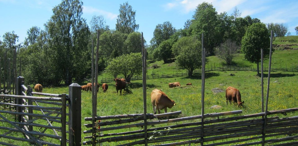


Tiskaretjärnsleden
- Vandring
- Amt: Värmlands län
- 6543.49 km fra dig
Ruteoplysninger
- Længde 13.0 km
- Tid 4 t
- Sværhedsgrad Blå – mellem
Handlinger
Beskrivelse
Aktiviteter og faciliteter
- Vandring
Fakta
SERVICE: The trail is prepared until June 1 at the latest.
CONTACT: Info point Sunne library, turist@sunne.se, +49 (0)565-164 00
RESPONSIBLE: Sunne municipality
Kommunikation
No public transport
Rutevejledning
Starting point Asphöjden From the E45 at Rottneros, turn off towards Ski Sunne and Gräsmark. After about 21 km, at the crossroads in Trötvik, drive towards Arvika and Charlottenberg. After about 9 km, turn left towards Mangen, Tiskaretjärn and hiking trail. Follow blue sign with text Gruvrundan.
Starting point N Ängengruvan parking lot From the E45 at Rottneros, turn off towards Ski Sunne and Gräsmark. After about 10 km, at Västerrottna, turn left towards Ängen 9 km. At Ängsjön there is an information board and a rest area. Keep to the right and follow the road along Ängsjön for about 4 km to a four-way junction. Drive straight across the road and park in the parking lot. You have to walk about 300 meters (clockwise) along Ängenleden to get to the start of Tiskaretjärnsled. There is a large information sign.
An alternative is to start at Rokkmakkstugan. (Signposted from Ängsjön). Then you have to hike 2 km on Ängenleden (counterclockwise) to get to the start of Tiskaretjärnsleden.
Kontakt
E-mailadresse
Kontakta VisitVärmland
Organisationens logotype

Jeg har været her 3


Jeg vil gerne derhen 7
Anmeldelser
—
0 anmeldelser
- 5 :
- 4 :
- 3 :
- 2 :
- 1 :
Spørgsmål og svar
Stil et spørgsmål til andre Naturkartan-brugere.
Brugernes billeder
Del dine billeder fra stedet!
