
Taxås vandringsled, gul och orange
- Vandring
- Amt: Kronobergs län
- 6790.40 km fra dig
Ruteoplysninger
- Længde 2.0 km
Handlinger
Beskrivelse
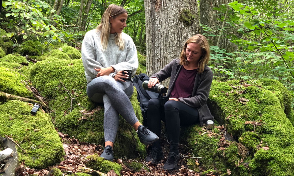
In Taxås nature reserve there is a certain hill to reach. This hill overlooking Lake Möckeln is perfect for a picnic.
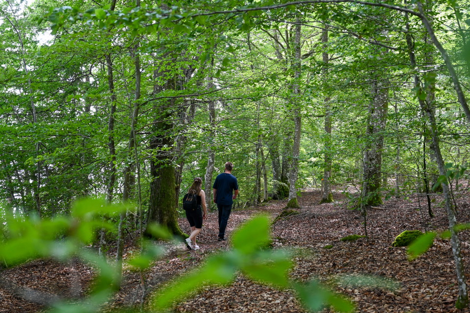
Taxås consists of deciduous forest and old agricultural landscape. Here you will also find rare flowers such as blue anemone, spring onion, golden powder, nunnery herb and spring pea. The northern trail (blue) passes a coffin near the barn. The trail then leads you further up to the viewpoint "Taxås klint", which rises thirty meters above the lake. To the right of the cliff there are stairs down to the shore where you will find both remains of ancient quarries and the old harbor. The southern arable land has previously been arable land and here is the second walking trail (orange). If you start at the main car park for Taxås, you can reach the orange trail via a connecting trail (yellow). In the spring, the pastures shine white from the many and large hawk trees (hägg).
Read more about plants and animals in the reserve and the local regulations on the County Administrative Board's website via the link.
Aktiviteter og faciliteter
- Vandring
Kontakt
E-mailadresse
Älmhults turistinformation
Jeg har været her 6



Jeg vil gerne derhen 4
Spørgsmål og svar
Stil et spørgsmål til andre Naturkartan-brugere.
Anmeldelser
0 anmeldelser
- 5 :
- 4 :
- 3 :
- 2 :
- 1 :
Brugernes billeder
Der er endnu ingen brugerbilleder. Vær den første til at dele et!
