


Tranebergs leden
- Vandring
- Amt: Västra Götalands län
- 6624.68 km fra dig
Ruteoplysninger
- Længde 12.0 km
- Tid 2 h 30 min
- Sværhedsgrad Blå – mellem
Handlinger
Beskrivelse
Aktiviteter og faciliteter
- Vandring
Overflade
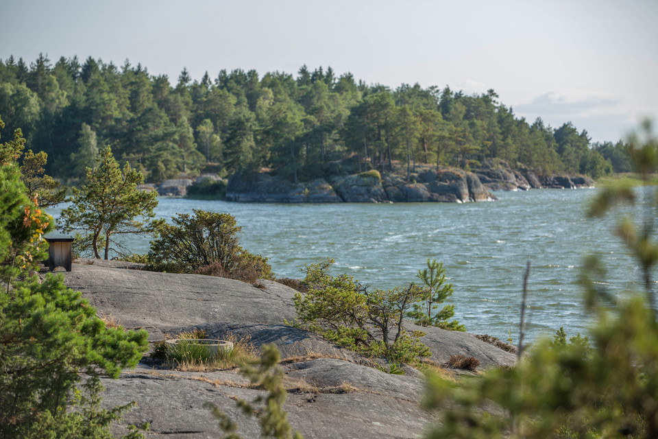
The hike takes you through varied terrain, including both forest and cliffs.
Bakker
The hike goes through varied terrain in both forest and on cliffs.
Parkering
There is good amount of parkinglots at Läckö Golf, directly connected to the trail.
Rutevejledning
Unfortunately, there is no public transport to this location, but there is plenty of parking available right next to the trail, which starts beside Läckö Golf Club.
Kontakt
Adresse
För frågor om ledens sträckning, drift och skötsel samt boenden, restauranger och andra besöksmål i området, kontakta Destination Läckö-Kinnekulle.
E-mailadresse
Destination Läckö-Kinnekulle
Organisationens logotype

Jeg har været her 1

Jeg vil gerne derhen 7
Spørgsmål og svar
Stil et spørgsmål til andre Naturkartan-brugere.
Anmeldelser
Brugernes billeder
Der er endnu ingen brugerbilleder. Vær den første til at dele et!


Bitvis mycket vacker led men en del tråkiga och ganska långa grusvägssträckor.