
Brantefall
- Seværdighed
- Amt: Östergötlands län
- 6780.71 km fra dig
Handlinger
Beskrivelse
One of Ydre's most popular destinations.
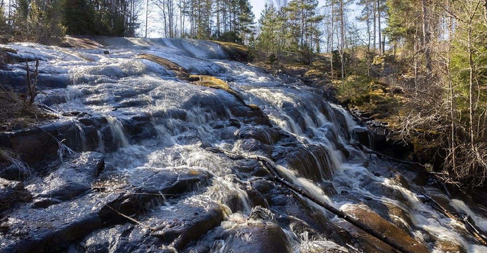
Brantefall has no equivalent in Östergötland and is reached via a detour of about 400 meters from the Östgötaleden stage between Österbymo - Västra Lägern. At the beginning of the detour you can park if you come by car. Near the fall there is a windbreak.
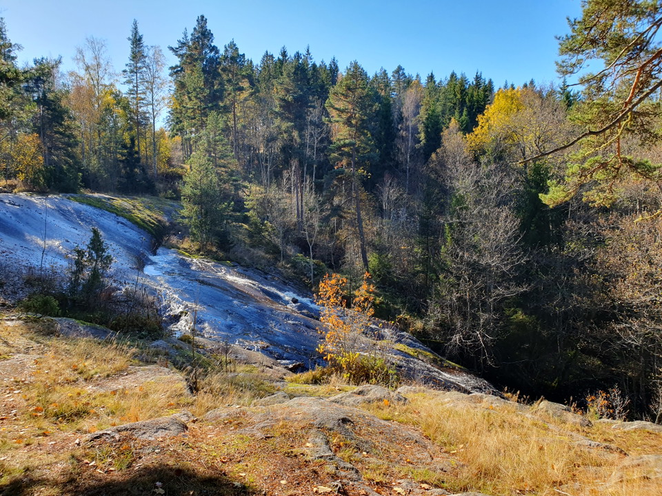
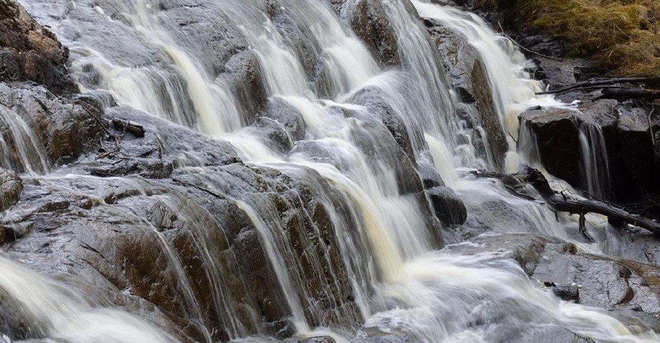
Here the stream, after passing a dam, flows on a wide front over a polished, arched rock face. The best time to visit is in spring or other periods of high water. The water rushes wildly here, while during dry periods it flows slowly over the seemingly soft rock.
Below the falls, the stream runs through a swamp forest with some ash trees. Species such as scrub lichen grow on the trees and the ground flora is rich with ferns as the dominant species. It is very wet here and not as easily accessible as the fall.
See Brantefall digitalwith Visit Ydre.
(updated 2024-10-24/eb)
Aktiviteter og faciliteter
- Seværdighed
Kontakt
Adresse
Välkommen till Östgötaleden, 150 mils vandring i Östergötland!
E-mailadresse
Kontakt Östgötaleden
Organisationens logotype

Jeg har været her
Jeg vil gerne derhen 1

Spørgsmål og svar
Stil et spørgsmål til andre Naturkartan-brugere.
Anmeldelser
0 anmeldelser
- 5 :
- 4 :
- 3 :
- 2 :
- 1 :
Brugernes billeder
Der er endnu ingen brugerbilleder. Vær den første til at dele et!
