
-
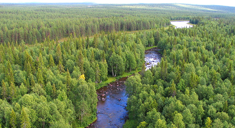
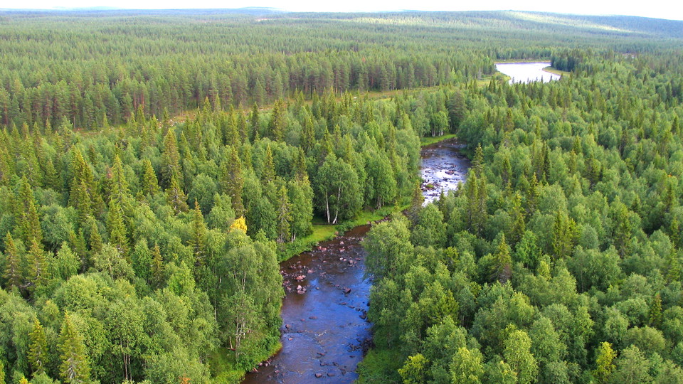
Flygbild över Kaipabäcken.
Foto: Länsstyrelsen Norrbotten -
-
-
-
-
-
Kaipabäcken
- Naturreservat
- Amt: Norrbottens län
Handlinger
Beskrivelse
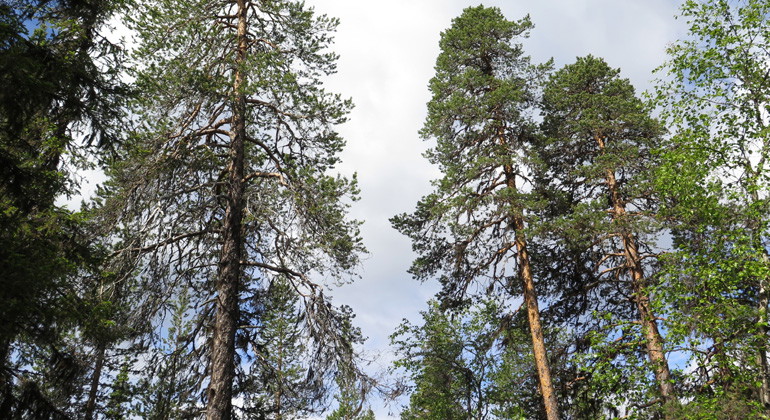
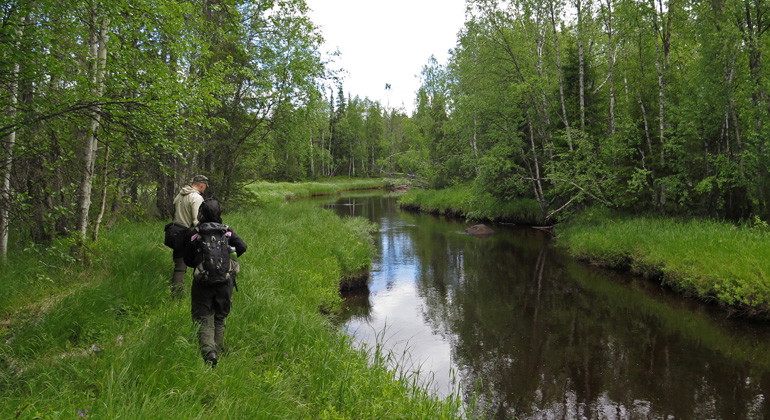
Along the stream Kaipabäcken there is varying nature of considerable natural values. Among other things there are plenty of leafy spruce forests. The area is 7.2 square kilometres in size.
Aktiviteter og faciliteter
- Naturreservat
Fakta
Municipality: Gällivare
Year formed: 2010
Size: 7.2 square kilometers
Administrator: County Administrative Board
Form of protection: Nature reserve
Kommunikation
Kaipabäcken stream lies adjacent to the road which runs between Vuollerim and Nattavaara village, about 1 kilometre east of the village of Polcirkeln, in the southern part of Gällivare Municipality.
Rutevejledning
Kaipabäcken is located adjacent to the road that runs between Vuollerim and Nattavaara village, about 1 kilometer east of the village of Polcirkeln, in the southern part of Gällivare municipality.
Regler
All regulations can be found in the reserve decision. It is allowed to:
- camping
- hike
- make a fire, remember to bring your own wood!
- pick berries and edible mushrooms
- drive snowmobiles on snow-covered ground
- fish and hunt in accordance with the laws in force
It is not allowed to harm plant and animal life. Remember the right of public access and protect nature!
Kontakt
E-mailadresse
Länsstyrelsen Norrbotten
Organisationens logotype

Jeg har været her
Jeg vil gerne derhen 4


Spørgsmål og svar
Stil et spørgsmål til andre Naturkartan-brugere.
Anmeldelser
0 anmeldelser
- 5 :
- 4 :
- 3 :
- 2 :
- 1 :
Brugernes billeder
Der er endnu ingen brugerbilleder. Vær den første til at dele et!
