
-
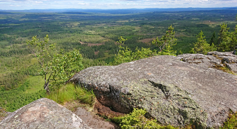
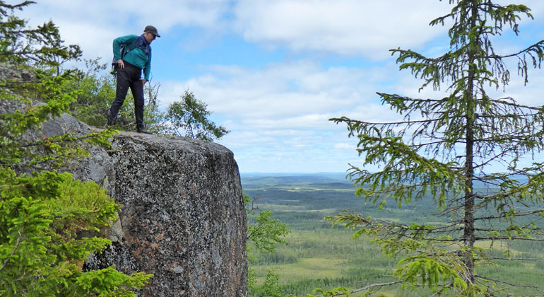
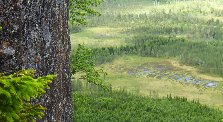
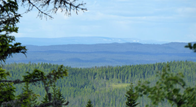
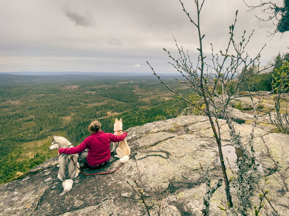
Utsikten från Lybergsgnupen kan under vackra dagar nå ända bort till horisonten.
Foto: Maria Jons, Länsstyrelsen i Dalarnas län. -
-
-
-
-
-
-
-
-
-
-
-
-
-
-
-
-
-
Lybergsgnupen, Naturreservat
- Naturreservat
- Amt: Dalarnas län
Handlinger
Beskrivelse
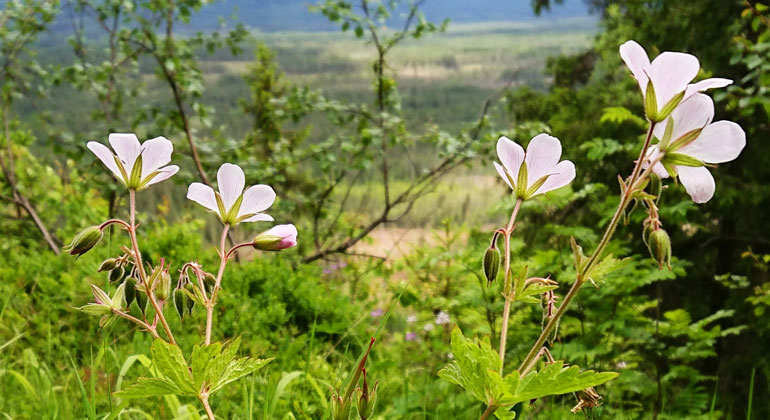
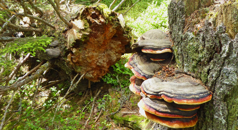
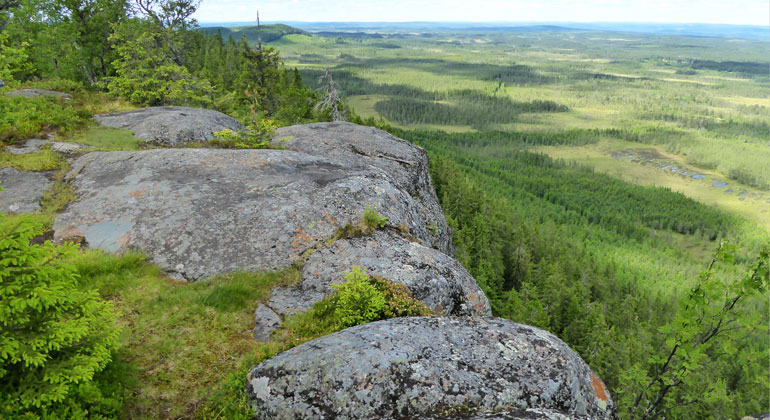
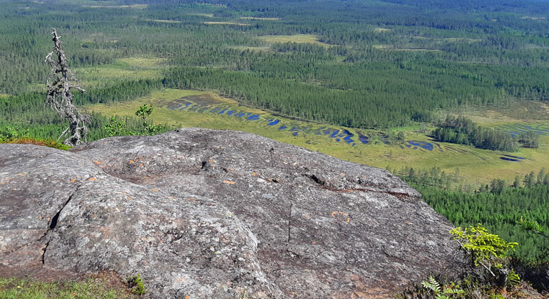
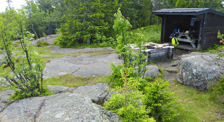
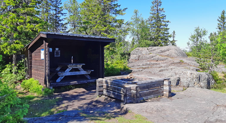
A view stretching for miles, breathtaking cliffs, beautiful rock formations with mysterious markings, and a cozy wind shelter with a fireplace—that’s the reward for making the arduous climb to the top of Lybergsgnupen. Two hundred meters below your feet, forests and marshes stretch out as far as the eye can see. In addition to the view, there is a valuable natural forest here with rare species.
Photo: Dalarna County Administrative Board
A Steep Climb to a Breathtaking View
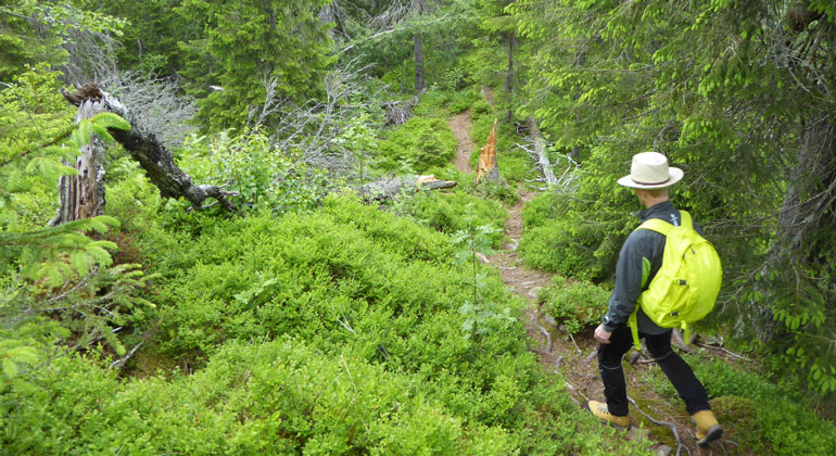
Up, up. Sometimes rocky, sometimes root-covered. Sometimes a tree lying across the trail. But the view in the clearings you pass through hints that you’re getting higher and higher. Aren’t we almost there? All of a sudden, two kilometers feels like such a long way…
But then, finally! We’re at the top! And what a reward! A fantastic view—you want to walk right up to the edge to see even better, even farther, but wow, how steep and high it is! How high is it, really?
Choose between 100 or 200 meters up
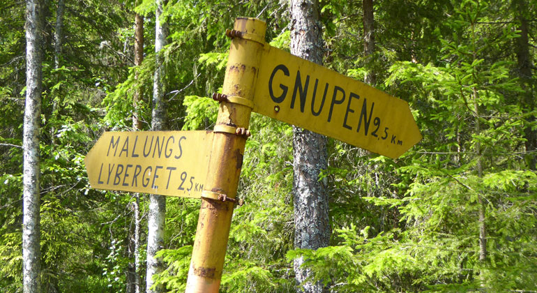
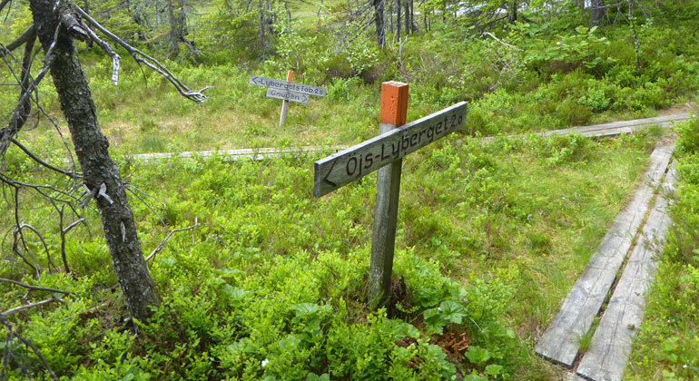
If you start your hike at Öjs-Lyberget, you’ll be just over 450 meters above sea level. The summit of Gnupen is 657 meters above sea level—that’s a vertical climb of nearly 200 meters! If you start instead from the western entrance at Lybergets fäbod, you’ll have a longer drive on a forest road and a longer walk (3 km), but the elevation gain isn’t as great. Lybergets fäbod is located at just over 540 meters above sea level, and you’ll save yourself nearly 100 meters in elevation gain.
Beautiful views, a pleasant rest area, and sweeping vistas
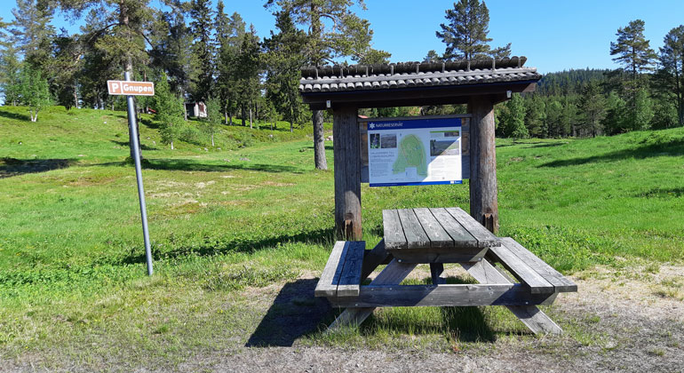
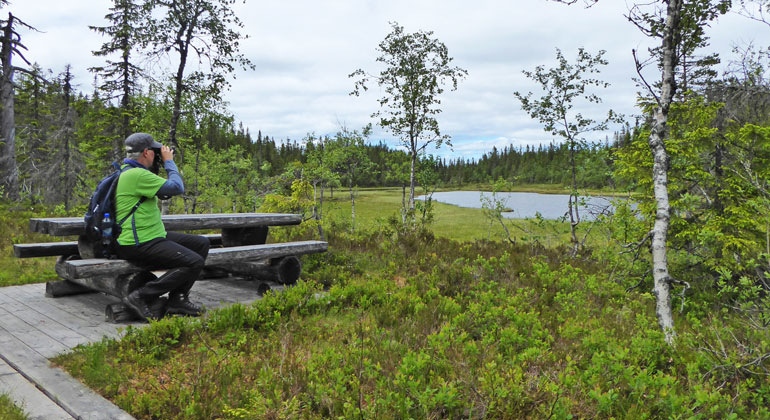
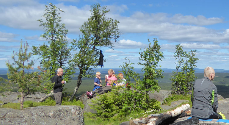
At the top of the mountain, by the Gnuptjärnarna lakes, the two trails meet. There’s a nice rest area here where you can sit down and take a break. But you might not have time to rest for long, because it’s not far to the summit—to the cliff—to the view. And it’s incredibly beautiful up there! Unless you’re afraid of heights, in which case it’s a bigger challenge. In that case, you can stay a bit away from the edge—perhaps by the wind shelter—and have a coffee break.
On the rocky outcrops by the cliff, you can see strange marks left by… Well, what could they be? Could it be a lightning strike? Or ice blasting in the winter? No one knows for sure. If you’re here in the spring or early summer, you can see the snow on the Sälen Mountains far off to the north on the horizon. To the northeast, you’ll see Lake Ogsjön and the Ogan River, which winds its way beautifully through the landscape.
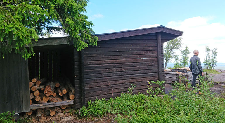
If it’s a foggy day, you probably won’t see anything. But then maybe a cozy fire will feel nice. Firewood should always be available at the wind shelter, but be sure to extinguish the fire properly when you’re done and take your trash home with you. That makes it more enjoyable for those who come after you. Have a great trip!
Photos in the slideshow: Maria Jons and Anki Alfredéen, Dalarna County Administrative Board.
Aktiviteter og faciliteter
- Naturreservat
Rutevejledning
North of Malung and east of Limedsforsen.
Regler
In the nature reserve, it is not permitted to...
- damage the ground or geological features,
- damage growing or dead trees and shrubs—whether standing or fallen,
- pick or dig up flowers, mosses, mushrooms, and lichens,
- light fires except in designated areas,
- camp,
- capture or collect animals,
- introduce plant or animal species that are native to the area,
- drive motorized vehicles off-road.
- Climb the rocky slope in the northeast.
Click on the nature reserve’s name and select the “Documentation” tab to view the documents.
Kontakt
Adresse
E-mailadresse
Organisationens logotype

Jeg har været her 3

Jeg vil gerne derhen 4

Spørgsmål og svar
Stil et spørgsmål til andre Naturkartan-brugere.
Anmeldelser
0 anmeldelser
- 5 :
- 4 :
- 3 :
- 2 :
- 1 :
Brugernes billeder
Der er endnu ingen brugerbilleder. Vær den første til at dele et!
