Västernorrlands län

Gåtur

Kort

25 Gåtur

Vandring

Promenadslinga Ljungaverk 5,3 km

  • Kommune: Ånge
  • 6566.77 km fra dig
  • 5.3 km
  • Sværhedsgrad: Grøn

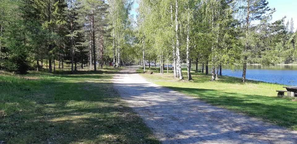
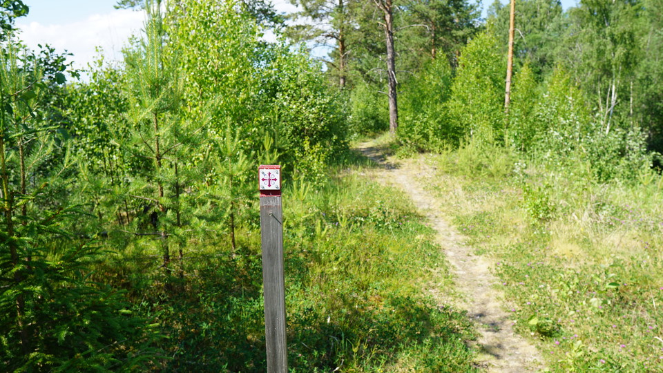
The long hiking trail St. Olovsleden passes through Ljungaverk. If you want to go for a short walk that partly follows the trail, you can go down Storholmsvägen from Ljungavägen. Just before the road goes under the bridge, the hiking trail turns off on a pa…

Vandring

Promenadslinga Ljungaverk 1,5 km

  • Kommune: Ånge
  • 6568.29 km fra dig
  • 1.5 km
  • Sværhedsgrad: Blå

The long hiking trail St. Olovsleden passes through Ljungaverk. If you want to go for a short walk that partly follows the trail, you can go down Storholmsvägen from Ljungavägen. Just before the road goes under the bridge, the hiking trail turns off on a pa…
Rundbane

Promenadslinga Ljungaverk 5,9 km

  • Kommune: Ånge
  • 6566.77 km fra dig
  • 5.9 km
  • Sværhedsgrad: Blå

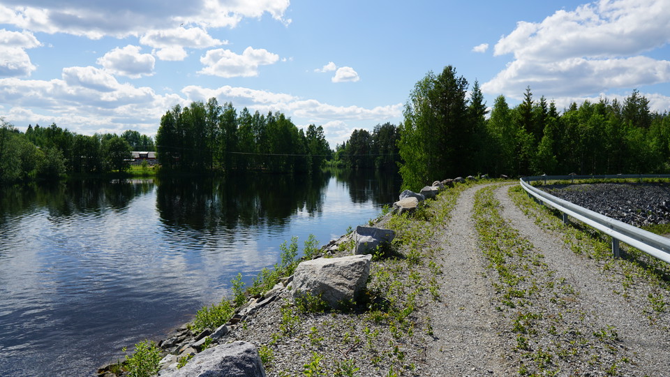
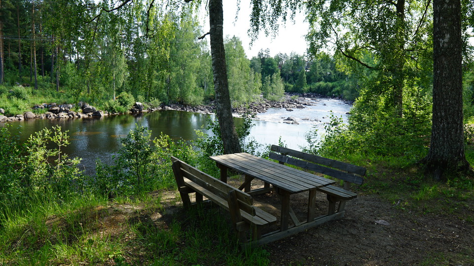
If you want to walk a bit on the path and get nicer views of the water, you can take a blue "detour". Then you follow the path that goes down to a shelter near the rapids. There are also bench tables and a fireplace. Continue following the path along the ri…

Rundbane

Torpshammar liten promenadslinga

  • Kommune: Ånge
  • 6581.23 km fra dig
  • 3.0 km
  • Sværhedsgrad: Grøn

In Torpshammar there are many small roads to walk along. Here are suggestions for two routes. Parking is available at the IP and you can travel here by public transport either by train to the train station or by bus that stops at several places along Torpsh…

Rundbane

Promenadslinga Ånge Östra

  • Kommune: Ånge
  • 6549.83 km fra dig
  • 4.9 km

Öster om centrala Ånge vid IP går det att promenera på väg och stig ner mot Lillströmmen. Parkering finns vid IP och närmaste busshållplats heter Ånge Åsgatan. För att gå en kortare runda som är lämplig med rullator och barnvagn följer du gångvägen som går…

Rundbane

Promenadslinga Ånge Norra 1,7 km

  • Kommune: Ånge
  • 6548.00 km fra dig
  • 1.7 km

On the electric light trail and the paths up towards Boberget north of central Ånge there are several nice rounds to walk. There is a parking lot at the start of the trail on Barrtagsvägen. The nearest bus stop is at Minervaskolan. There is also an outdoor…

Rundbane

Östavall promenadslinga 1,2 km

  • Kommune: Ånge
  • 6546.09 km fra dig
  • 1.2 km

In Östavall there is an electric light trail with two rounds of just over a kilometer that can be connected to a longer round of over two. There is a parking lot at the start of the trail and a bus stop on the main road near the gas station. The electric li…

Gåtur

Led till Trefalldighetsdalen

  • Kommune: Sollefteå
  • 6588.17 km fra dig
  • 2.8 km
  • Sværhedsgrad: Blå

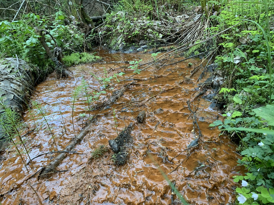
On the eastern edge of Sollefteå town is this small reserve. It consists of a deeply cut moist ravine on the south side of the Ångerman River. A path leads around the reserve and via it you can also reach the old health spring with iron-containing water. In…

Vandring

Hälsostigen Parteboda 1,8 km

  • Kommune: Ånge
  • 6553.44 km fra dig
  • 1.8 km

Parteboda village association's Health Trail, which can be varied - this part of the loop is about 1.8 km.

Vandring

Hälsostigen Parteboda 5km

  • Kommune: Ånge
  • 6553.86 km fra dig
  • 4.9 km

Parteboda village association's Health Trail that can be varied, this part is 5 km. There is also an outdoor gym along this part of the trail.

Vandring

Haverövallen vandringsled 3,2 km

  • Kommune: Ånge
  • 6529.51 km fra dig
  • 3.2 km

Hiking trail in Haverövallen. Mainly in the forest. There is a water source along the path. Start and end at the parish hall. The path is marked in blue.

Vandring

Haverövallen vandringsled 5,2 km

  • Kommune: Ånge
  • 6529.31 km fra dig
  • 5.2 km
  • Sværhedsgrad: Blå

Hiking/walking in Haverövallen. Mainly in the forest. Start and end at the parish hall. The path is marked in orange.

Naturkartan

Åbn dette i appen