Djurgårdenrundan

  • Vandring
ud af 5 stjerner

Ruteoplysninger

  • Længde 2.7 km
  • Tid 50 min
  • Sværhedsgrad Grøn – enkel

Handlinger

  • Rutevejledning

Beskrivelse

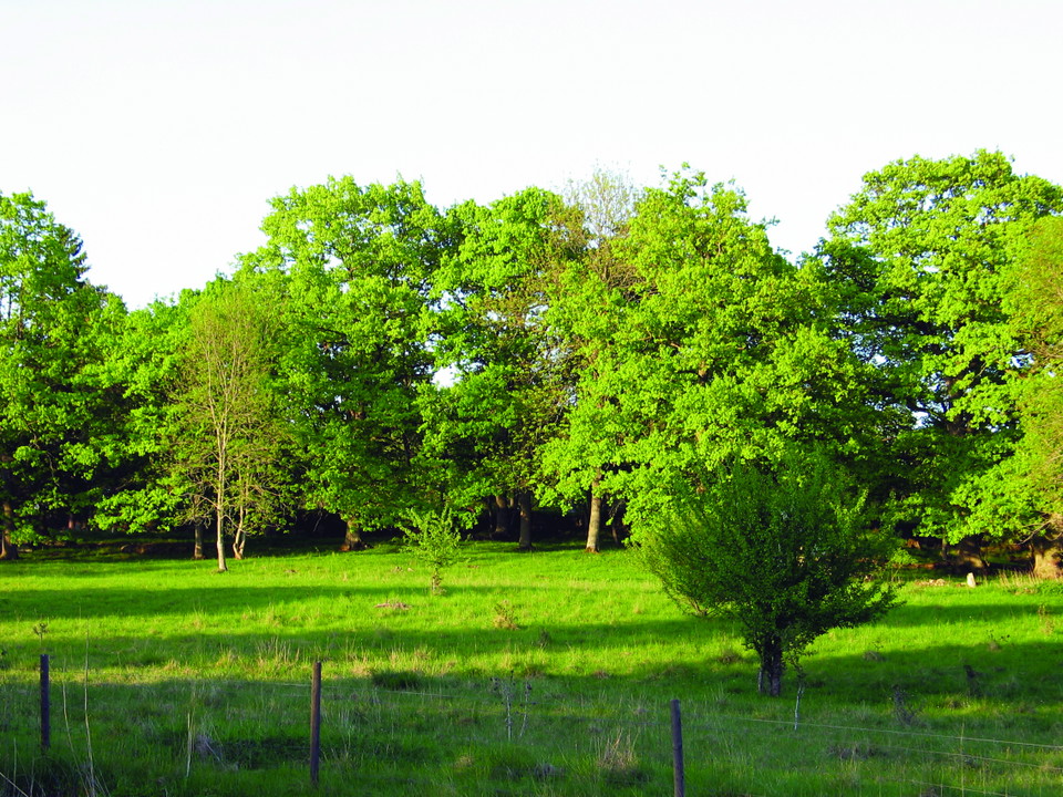
Among majestic oaks, lindens, and ashes, grazing cows and sheep keep the landscape open, just as deer once did. Djurgården Nature Reserve offers a beautiful setting where cultural history and natural beauty come together.

The name Djurgården dates back to the Middle Ages, when the area was used by the nobility as hunting grounds for fallow deer and other game. Today, you may still spot a fallow deer, but it’s mostly the peaceful grazing animals that shape the open meadows and light-filled woodlands.

After many years without grazing, the area became overgrown, and the old oaks began to decline. About 25 years ago, the northern parts were reopened for grazing, and since 2002, work has continued in the southern areas to bring light and air back to the ancient trees.

A scenic walking trail winds through the reserve – perfect for a peaceful stroll beneath the leafy canopy or a picnic among the meadows.

Vejrudsigt (kl. 12.00)

Indlæser…

Kom hertil med offentlig transport

Aktiviteter og faciliteter

  • Vandring

Parkering

Parking at the junction where the road goes up to Högkullen from Hällekis

Kontakt

Adresse

För frågor om ledens sträckning, drift och skötsel samt boenden, restauranger och andra besöksmål i området, kontakta Destination Läckö-Kinnekulle.

E-mailadresse

Destination Läckö-Kinnekulle

+46 510 200 20

Jeg har været her

Jeg vil gerne derhen 3

Anmeldelser

—

0 anmeldelser

ud af 5 stjerner

5 :
0.0%
4 :
0.0%
3 :
0.0%
2 :
0.0%
1 :
0.0%

Spørgsmål og svar

Stil et spørgsmål til andre Naturkartan-brugere.

Brugernes billeder

Del dine billeder fra stedet!

Naturkartan

Åbn dette i appen