A great summit tour! The 1,413 meter high mountain, in Sámi Ryjvejegaejsie, has become a symbol of Tärnaby with its characteristic profile high above Lake Gäutan.
A 4 km long trail with almost 1,000 meters altitude difference goes up to the top from road E12 at Anders Jans bay. The first part of the hike goes through a lush birch and spruce forest. When you get above the tree line, the surface is rocky and the terrain is steep, but in places there are some green paths to follow.
At about 1,000 meters the path disappears. Then you can choose to walk up towards the ridge north of the summit and follow it up, on the southeast side of the summit Ryfjället drops steeply down towards Stensjön and Vasksjödalen. You can also walk straight up to the top.
In the past, the Sami had a sacrificial site at the top. At this sacred place there was an idol, a so-called seite, in the form of a stone bird. It was removed in the early 19th century and has not been found since.
On the southwest slope of the mountain is an overgrown downhill ski run with a drop of 950 meters. The slalom club Tärna IK Fjällvinden cleared the slope in the 1950s, but it was considered too steep and difficult to ski, so it was soon abandoned.
On the northern steep slope of Ryfjället there are several old bear dens, the so-called Björnhotellet. A hunter, Abraham Tellström, is said to have shot 35 bears there.
The summit is included in Sommartoppar Hemavan Tärnaby, read more by clicking on the link below.






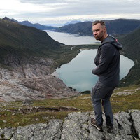



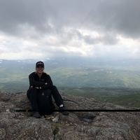
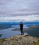




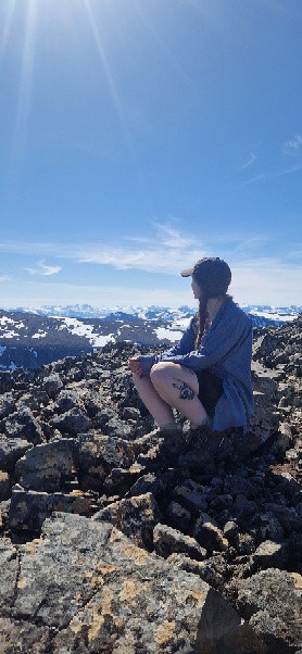


Jätte fin utsikt och ganska bra markerat lite brant sista biten men tyvärr lite nedskräpat så 4/5