
-
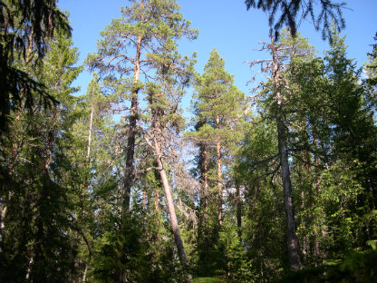
Foto: Per-Anders Blomqvist -
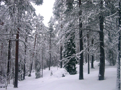
Foto: Per-Anders Blomqvist
Lill-Skorvliden
- Naturreservat
- Amt: Västerbottens län
Handlinger
Beskrivelse
The reserve rises from the banks of the Ume River up to 410 meters above sea level and consists of the southern, western and eastern slopes of the mountain. The forest on the mountain consists of a, often quite dense, coniferous mixed natural forest dominated by spruce on the northern slope, while pine dominates on the western and southern slopes. The whole area is clearly affected by fire and there is plenty of charred dead wood and trees with fire scars.
Aktiviteter og faciliteter
- Naturreservat
Rutevejledning
The reserve is located about 20 km northwest of Lycksele, along road E 12.
Kontakt
E-mailadresse
Länsstyrelsen Västerbotten
Organisationens logotype

Jeg har været her 1

Jeg vil gerne derhen 1

Spørgsmål og svar
Stil et spørgsmål til andre Naturkartan-brugere.
Anmeldelser
0 anmeldelser
- 5 :
- 4 :
- 3 :
- 2 :
- 1 :
Brugernes billeder
Der er endnu ingen brugerbilleder. Vær den første til at dele et!
