
Röd led i Västra Kullaberg
- Vandring
- Amt: Skåne län
- 6716.36 km fra dig
Ruteoplysninger
- Længde 4.1 km
- Sværhedsgrad Blå – mellem
Handlinger
Beskrivelse
Aktiviteter og faciliteter
- Vandring
Fakta
Lighthouse, field and beech forest
This stage of the red trail runs from the Kullen lighthouse east to Adal at the entrance to Västra Kullaberg - about 4.1 km one way, or 1.5-3 hours depending on the number of stops. The trail is mostly easy and suitable for families with some experience. At upper Mölle (Adal), the red eastern trail takes over and continues towards Himmelstorp and Arild.
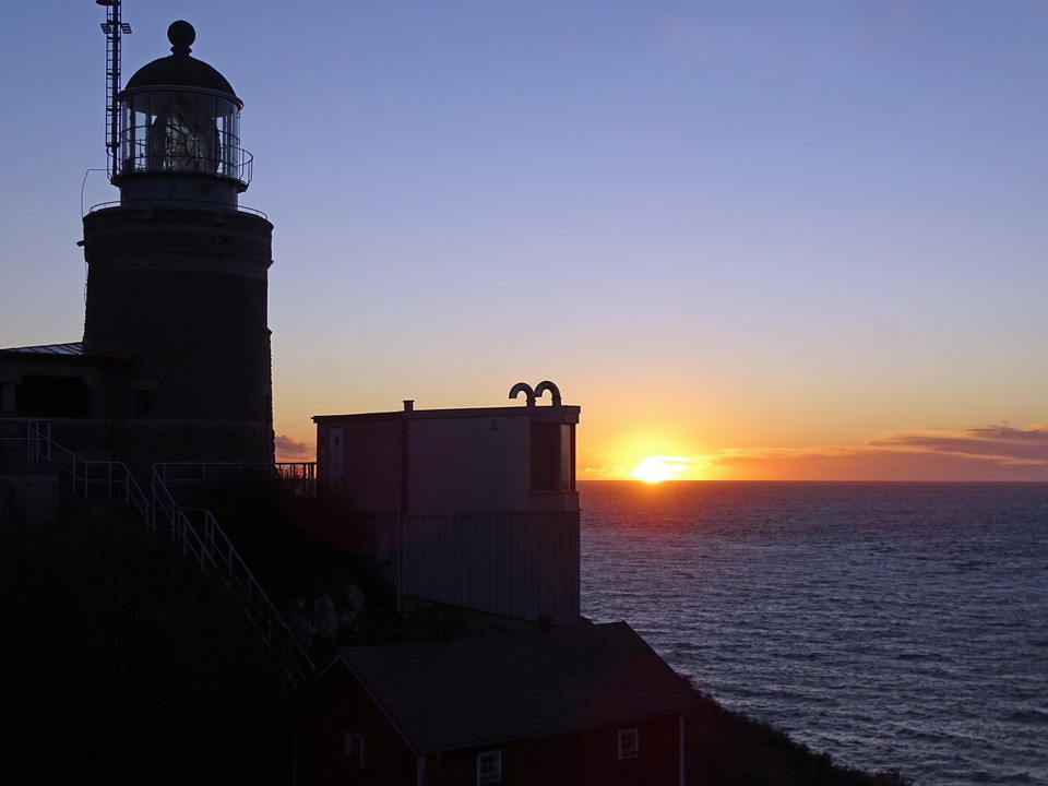
At the far end of Kullaberg's headland is Kullens fyr, Sweden's most highly placed and powerful lighthouse dating back to 1561. Here, three waters - Öresund, Kattegat and Skälderviken - meet in a dramatic landscape where the coast of Denmark and Kronborg Castle are visible on a clear day. The site is one of Sweden's best for spotting porpoises, the small whale that lives in Swedish waters all year round. Start your visit at Naturum Kullaberg right next to the lighthouse to recharge your batteries with knowledge about the nature and geology of the reserve.
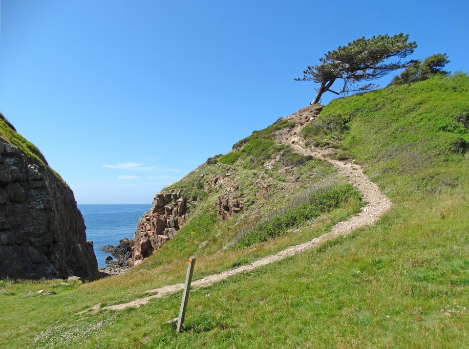
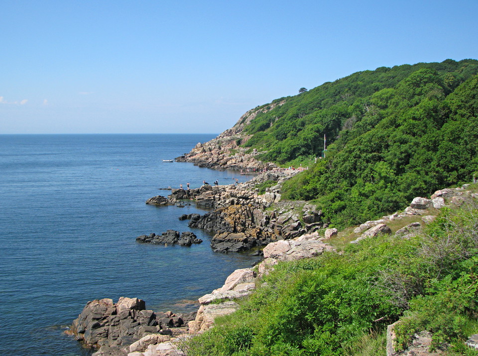
Just east of the lighthouse, the trail winds through a valley with large black pines, a memory of the plantations that covered large parts of Kullaberg in the 19th and 20th centuries. At Åkersberget, one of the mountain's best views opens up over the south side's rocky and jagged coastal cliffs with pointed headlands and rauks in the water. In the bays between the headlands are shingle fields, which in Kullaberg are called "malar" - the name comes from the fact that the stones are rubbed against each other by the waves with a characteristic grinding sound.
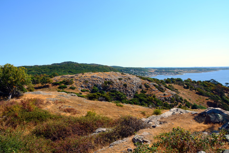
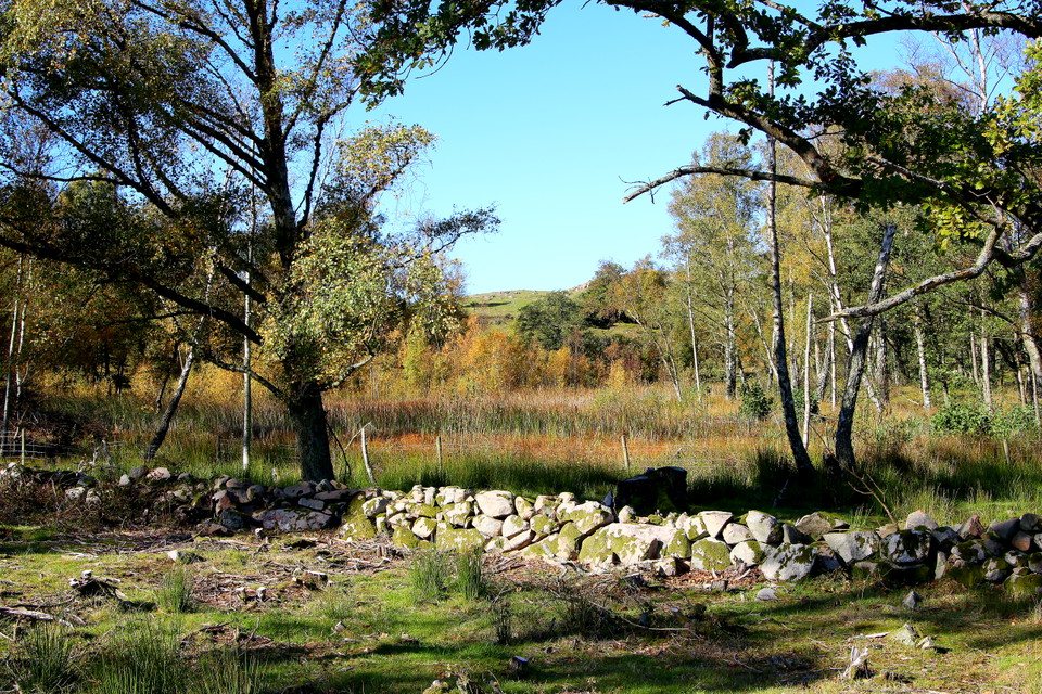
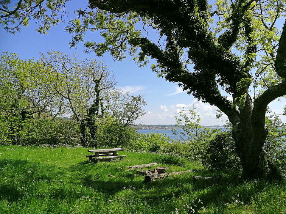
Further east, the trail passes Igla bog - a wetland surrounded by willow and sedge - and comes out onto the large recreated field on western Kullaberg. Here, grazing animals graze freely and keep the landscape open, in an environment reminiscent of how it looked before the 19th century reforestation. The open landscape was also an appreciated feature that was visited by Carl vonLinné during his journey to Skåne in 1749. On the central hill there is a large boulder left behind by the ice sheet - named "Kung Döses sten" around 1850 and a popular excursion destination at the time. Down towards the rift valley you will find Kulla bog (also called Grällinge mad), which was once a small lake that has now grown again and become marshland surrounded by a narrow gungfly (land that looks solid but has bottomless dune underneath) where herring hair, meadow wool and marsh violet thrive.
After the field, the landscape takes on a new character. Through an emerging birch grove, the path leads into a mighty juniper thicket, where juniper bushes stand like high walls on both sides - home to nesting shrikes, warblers and warblers. Shortly after, one of the trail's finest views opens up towards the old Kullagården (Ransgården), the farming center of western Kullaberg since the Middle Ages. The green fields below were once the farm's fields and pastures, which are now a golf course.
From the Ransgården viewpoint, the path leads down into the scrub forest - Kullaberg's characteristic low, wind-bent oak forest that has probably been here ever since the mountain was first colonized by trees. It is one of the few places in Skåne where you can talk about primeval forest. A shallow ravine valley runs through the oak thicket down to Ransvik, where a small stream flows and the late spring fields are covered with white flowering wild garlic. Down by the shore is Ransvik - once a port of entry for coal to the lighthouse and then the site of the "sinful" sambad around the turn of the century 1900.
The trail ends in the mighty beech forest above Ransvik, where columns of tall beech trees form light greenery in spring and burning yellow leaf fall in fall. Soon after you reach Adal (upper Mölle) at the entrance to Västra Kullaberg, where the stage ends and the red eastern trail continues towards Himmelstorp and Arild.
Rutevejledning
Walk, cycle, take public transport or drive here. On the map, you can click on a parking lot or access point. For directions, click on the 'Find here' arrow (below the map).
Regler
**Kullaberg consists of two nature reserves, Västra and Östra Kullaberg. Kullaberg has very high natural values that we want to protect, so special rules apply here and only parts of the right of public access apply.
Here it is forbidden, among other things, to:
- make fires anywhere other than in our barbecue areas
- camping anywhere other than at our campsite at the lighthouse parking lot
- having a dog unleashed
- disturbing wildlife
- picking or digging up flowers
- stay or drive a boat during the period March 1 to July 15 within the marked areas in the map appendices for Västra and Östra Kullaberg.
[All regulations (rules) can be found here (https://www.lansstyrelsen.se/skane/besoksmal/naturreservat/hoganas/kullaberg.html?sv.target=12.382c024b1800285d5863a89a&sv.12.382c024b1800285d5863a89a.route=/&searchString=&counties=&municipalities=&reserveTypes=&natureTypes=&accessibility=&facilities=&sort=none)
Kontakt
Adresse
Under LÄNKAR kommer du till aktuell reservatssida på Länsstyrelsens webbplats, med fördjupande information som kartor, broschyrer och hänvisning till relevanta aktörer. Här finns även en rapportfunktion för dig som vill lämna uppgifter om naturreservaten som vi förvaltar.
E-mailadresse
Organisationens logotype

Jeg har været her 6



Jeg vil gerne derhen 4


Anmeldelser
—
0 anmeldelser
- 5 :
- 4 :
- 3 :
- 2 :
- 1 :
Spørgsmål og svar
Stil et spørgsmål til andre Naturkartan-brugere.
Brugernes billeder
Del dine billeder fra stedet!
