Åsen 1,5 km
- Kommune: Ovanåker
- 6626.07 km fra dig
- 1.5 km
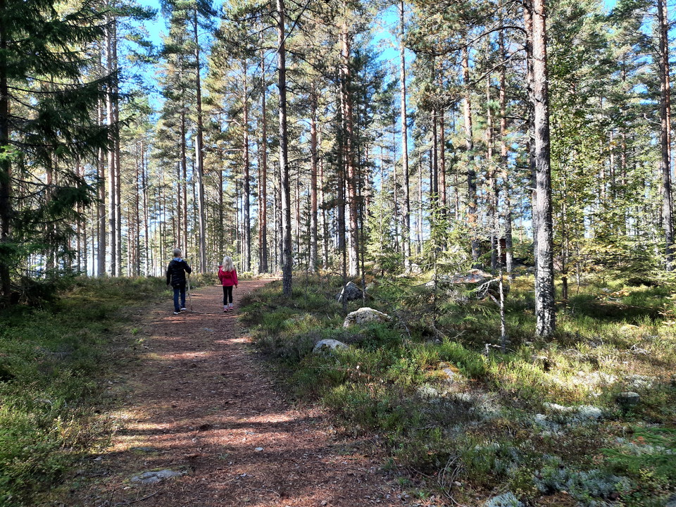
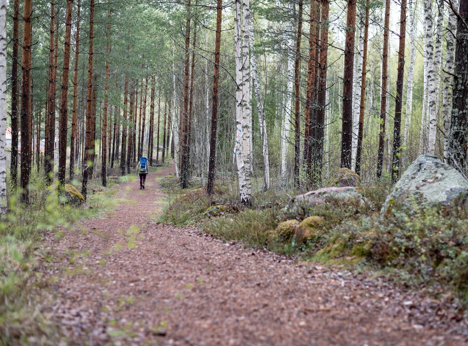
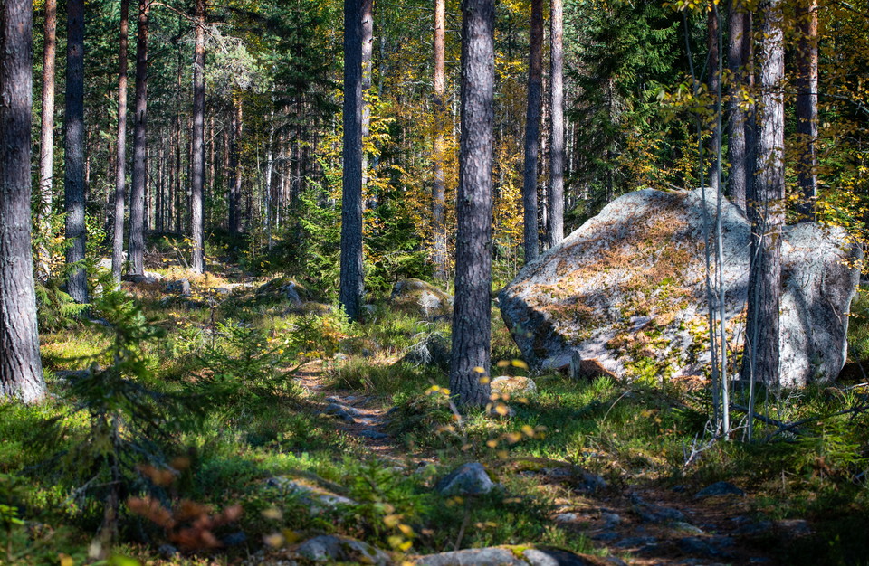
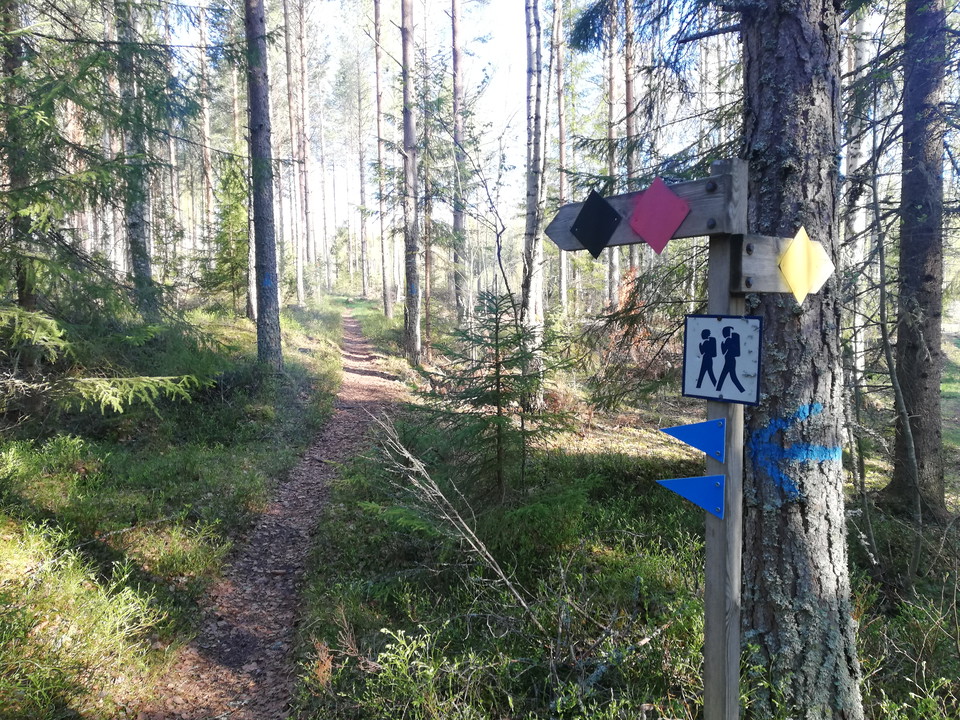
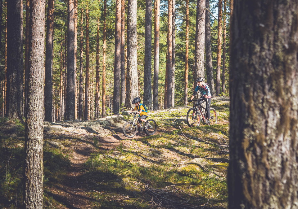
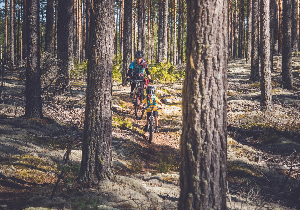
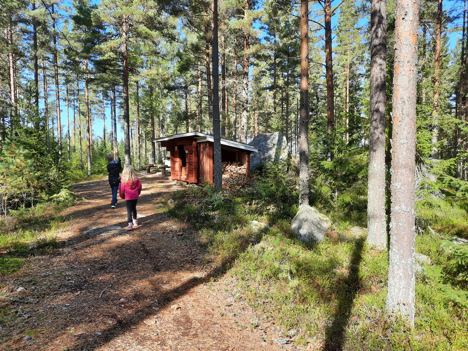
Welcome to this nice 1.5-km trail in Viksjöfors!

Ovanåker
Naturkartan samlar de cykellederna i Ovanåker som är populärast bland våra användare.
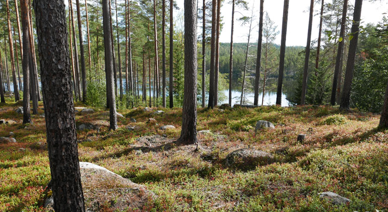
Welcome to this nice 1.5-km trail in Viksjöfors!
At Borgen in Edsbyn there is a mountain bike trail
At the exercise trails in Viksjöfors there is also the slightly longer 2.8 km trail. The trail has electric lighting. The exercise trail is mainly for walking and running, but is nice to cycle mtb along for those who want a wide, but varied path and fun pat…
This lovely trail starts at Ol-Andersgården. A bit into the trail you will find a board with trail information.
The flat path up Uggaberg. The path is not marked, but clear in the terrain.
MTB trail that starts from the exercise facility Kygelvallen. Fun and varied trail that runs on mostly single-track through the forest. Marked with Cykla Hälsingland "blue signs" and black arrows. The bike trail is well cycled and consists mostly of single-…
MTB track marked with blue arrows. Competition course for XC Hälsingecupen. Classified as a blue trail in MTB. Some more difficult passages occur, but overall a very nice and fun bike path. Mostly on a hiking trail, so be careful and give way and show consi…
The 1.2-meter-wide cycle paths were first built in the 1920s in Svabensverk for the needs of forestry. In 2012, the trails were restored by the association Finnskogsriket to be used as trails for hiking and mountain biking. The trail is today signposted "Cy…
Hiking trail over Aftonro that is also good for MTB cycling. The path is unmarked in the terrain, but easy to follow
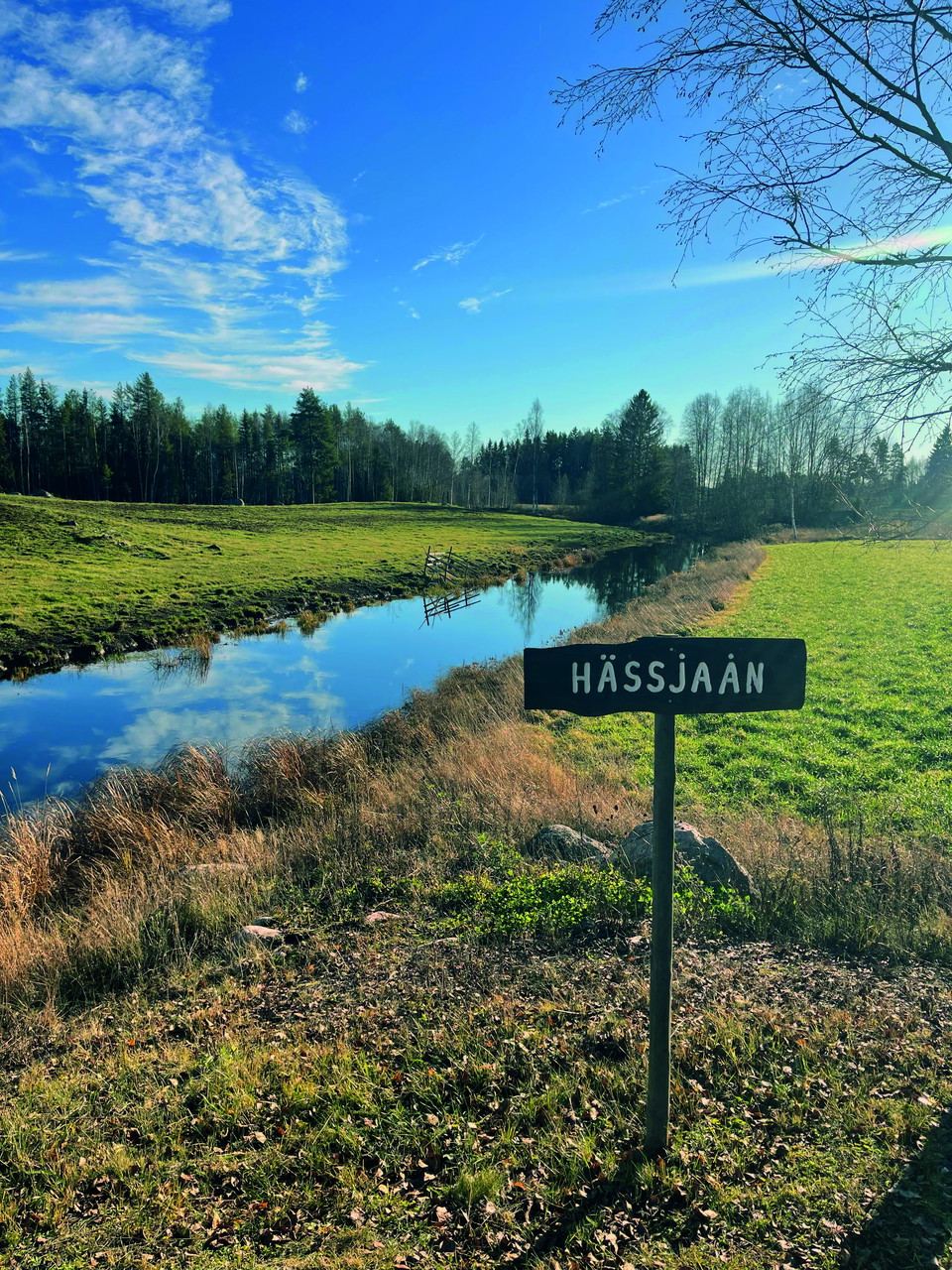
This tour is a perfect walk or bike tour where you get to experience Långhed and Hässjaån and their cultural history. Along the route, information signs will be set up. With the help of the Nature Map, it will be easy to find and on your own look and explor…
At Ormtjärn/Voxna, the landowner has given permission to mark three different MTB trails for barefoot training. The loops are marked with small arrows in different colors and in white it is important to have your tongue right in your mouth to find the right…
Vid Ormtjärn/Voxna har man fått tillåtelse av markägaren att märka upp tre olika MTB-slingor för barmarksträning. Slingorna är utmärkta med små pilar i olika färger och bitvit gäller det att ha tungan rätt i mun för att hitta rätt, då dom går lite kors och…
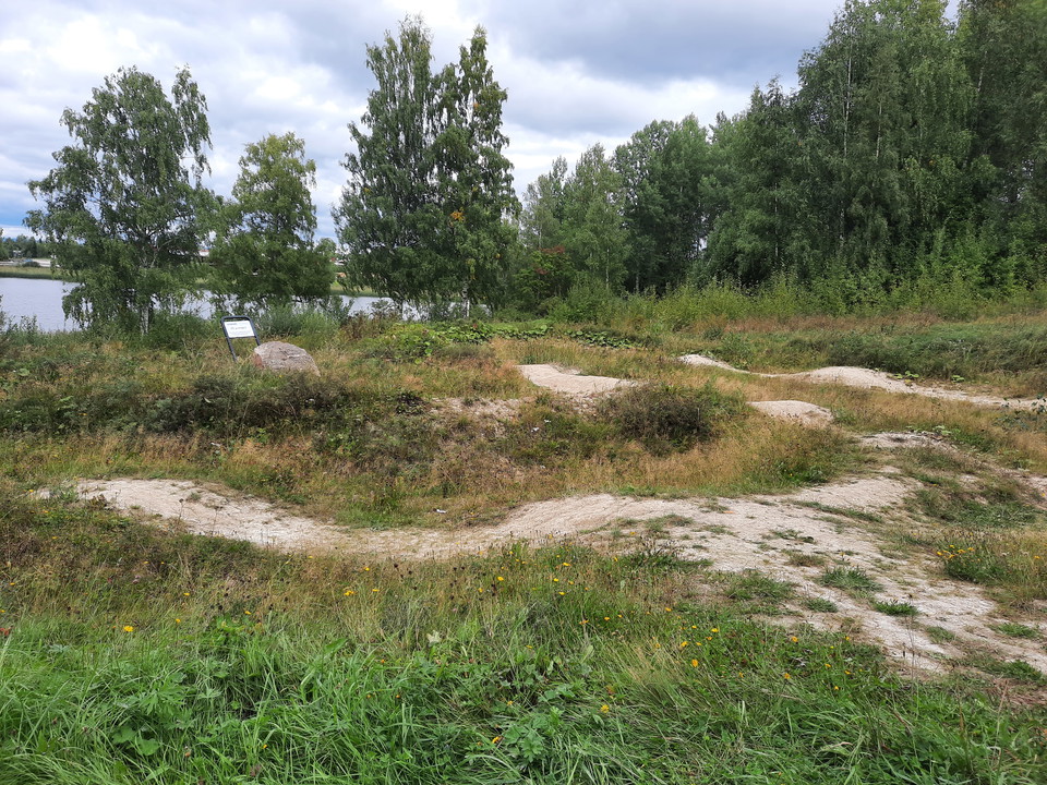
At Nabban's outdoor area there is a pump track for the little ones. It consists of hard packed sand and is usually good to cycle spring-autumn, except early spring when it can be very muddy.
This route gives you the opportunity to get close to nature and also see beautiful views in Långhed while learning about cultural history. It is 9.7 km long in its entirety, but it is possible to park in other places along the way and then shorten the dista…
Här hittar du en trevlig och enkel vandring längs med grusvägar. Starta vid Långheds bygdegård och vandra sedan österut, förbi världsarvsgården Jon-Lars och bort till Hässjaån.Här bjuds du med andra ord både på kulturarv i form av en av de sju Världsarvsgår…
Naturkartan samlar de cykellederna i Ovanåker som är populärast bland våra användare.