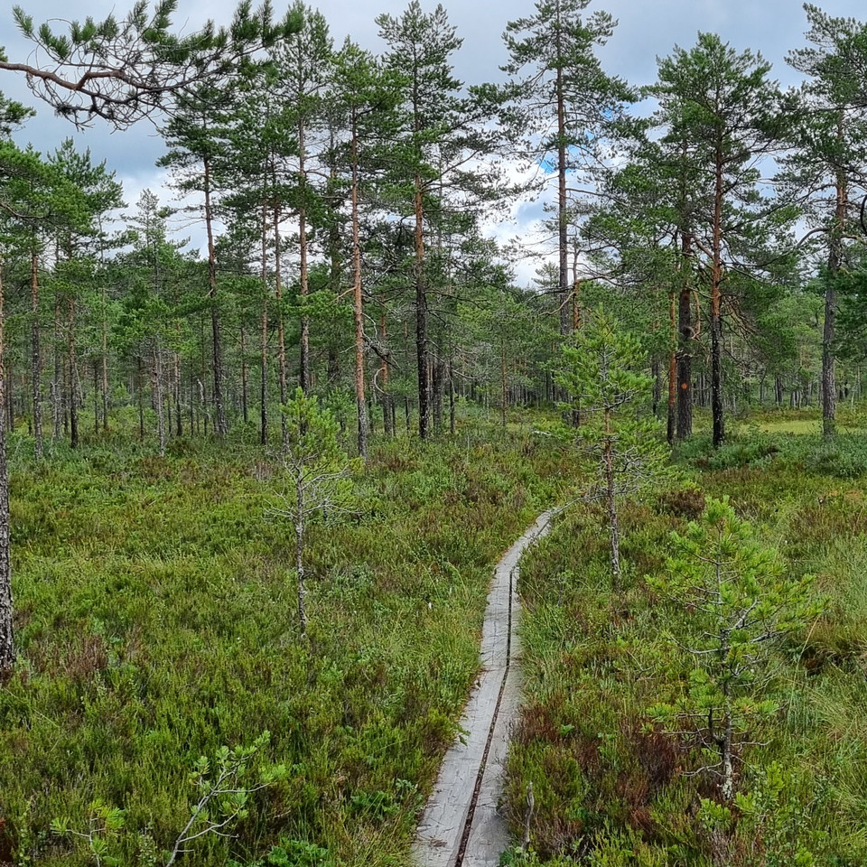
Bästa vandringslederna i Arvika

Arvika

Naturkartan samlar de vandringslederna i Arvika som är populärast bland våra användare.

Billeder

Kort

31 Bästa vandringslederna i Arvika

Vandring

Sotar Blixtleden

  • Kommune: Arvika
  • 11.0 km
  • Sværhedsgrad: Rød

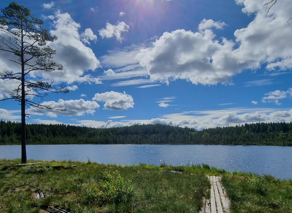
A circular hiking trail of 11 km starting at Jössestugan, Rackstad. A varied, scenic trail through mixed coniferous forests, stretches of old pines, over hilltops and along streams, a mire and a lake where white water lilies bloom in June-July. The climb ac…
Vandring

Södra Gunnarskogsleden

  • Kommune: Arvika
  • 6539.40 km fra dig
  • 23.6 km
  • 9 t
  • Sværhedsgrad: Blå

Södra Gunnarskogsleden is a circular trail of nearly 24 km through Gunnarskog's beautiful forest and cultural landscape. The trail takes you through varied terrain with quite some altitude shifts and introduces you to beautiful places like Svartviken at Lak…

Vandring

Led Svarthavet

  • Kommune: Arvika
  • 6549.18 km fra dig
  • 5.6 km
  • Sværhedsgrad: Rød

Nature reserve with 88 ha and dominated by coniferous forest. Close to Glava Glasbruk and Glaskogen Nature Reserve. There is a circular hiking trail of 5,6 km through the area. The starting point is a few hundred meters north of Glava Glasbruk, up the hill.…

Vandring

Hertigparets vandringsled

  • Kommune: Arvika
  • 6548.71 km fra dig
  • 3.5 km
  • Sværhedsgrad: Blå

Directions: From Highway 61 to Byamossarna and the ducal couple's trail: Exit from Highway 61 towards Mangskog at the height of Edane, the sign says Mangskog 10km. Drive about 9 kilometres and then turn left at the sign "Treskog 21". Drive about 5.5 km and…

Vandring

Djupdalsleden

  • Kommune: Arvika
  • 6552.05 km fra dig
  • 7.0 km
  • Sværhedsgrad: Blå

A hiking trail of 7 km with start and finish at Jössestugan, Rackstad. The trail goes across the heights Svarttjärnshöjden, Djupdalshöjden and Gallberget with nice views. The forest is mixed, stretching through pine and spruce populations but also some juni…

Vandring

Gallbergsleden

  • Kommune: Arvika
  • 6552.05 km fra dig
  • 5.0 km
  • Sværhedsgrad: Blå

A 5 km circular hiking trail which starts at the Jösse Cabin (Jössestugan) in Rackstad. The trail passes through coniferous forests, partly old pine forest, and along streams and a tarn. The climb to the top of Gallberget has some steep parts, but is overal…

Vandring

Norra Gunnarskogsleden

  • Kommune: Arvika
  • 6534.49 km fra dig
  • 41.0 km
  • Sværhedsgrad: Blå

Norra Gunnarskogsleden is a combined hiking and biking trail marked with well visible signs and orange markings according to the quality standards Hiking Värmland and Biking Värmland. The difficulty of the trail is rated as average for both hikers and biker…

Vandring

Storkasberget

  • Kommune: Arvika
  • 6552.26 km fra dig
  • 1.9 km
  • Sværhedsgrad: Blå

A hiking trail of 1,9 km from suggested starting point up to the top of Storkasberget. With its 244 meters above sea level it offers a grand view over Arvika and surroundings. Here is also a view tower. The climb to the top is gradual. There is normally mo…

Vandring

Finnskogleden, Mitandersfors-Lebiko (etapp 3)

  • Kommune: Arvika
  • 6520.54 km fra dig
  • 11.9 km
  • Sværhedsgrad: Rød

Finnskogleden is unique as it is winding back and forth across the border between Norway and Sweden, with its 240 km from Morokulien in Eda up to Söre Osen, Trysil in Norway. The full trail consists of 13 stages and No. 2 and 3 of partly run through Arvika…

Vandring

Led Bergs klätt

  • Kommune: Arvika
  • 6542.99 km fra dig
  • 2.5 km

This loop passes Klättetorpet and then goes over the lower part of Klätten. Here you have to expect some height differences. At present, the northern part of the loop is closed due to the risk of falling trees, and therefore you have to take the same way do…

Vandring

Finnleden Västra

  • Kommune: Arvika
  • 6551.51 km fra dig
  • 15.0 km
  • Sværhedsgrad: Blå

Summary In Mangskog there are many paths of Finn tradition. Two of them are orange marked hiking trails, Finnleden Västra and Finnleden Östra that meet up north in Bjurbäcken and run parallel for a bit. Finnleden Västra is a circular trail of 15 km with par…

Vandring

Gravåsleden

  • Kommune: Arvika
  • 6541.15 km fra dig
  • 17.0 km
  • Sværhedsgrad: Blå

A hiking trail of 17 km between Gravås in Gunnarskog and Taserud in Arvika. The trail passes through pine, spruce and mixed forests, across forest streams and by a lake and a river. There are two circular stretches about midways of 6 and 3,5 km. The best st…

Vandring

Led Öjenäsbäcken

  • Kommune: Arvika
  • 6537.31 km fra dig
  • 4.2 km
  • Sværhedsgrad: Rød

On the east side of the creek, the trail goes along an old carriage way (gravel surface) and is a fairly easy walk. On the west side the trail follows a path through pine forest, which is more demanding as the terrain is hilly, winding and slopes down towa…

Vandring

Bruksleden, norra sträckningen från Gruvrundan - Mitandersforsvägen 6 km

  • Kommune: Arvika
  • 6538.17 km fra dig
  • 6.0 km

Bruksleden is a quality proofed and certified HIKING VÄRMLAND trail of 6 km through beautiful nature and industrial history. It is possible to walk a circular trail in combination with Finnvägen. The HIKING VÄRMLAND trail Bruksleden offers different stages…

Vandring

Led Bergs klätt

  • Kommune: Arvika
  • 6542.92 km fra dig
  • 1.1 km

This trail runs on flat ground without major height differences. It is easy to get around with a stroller or other wheeled aids to the eastern shelter, which also has a barbecue area.

Bästa vandringslederna i Arvika

Naturkartan samlar de vandringslederna i Arvika som är populärast bland våra användare.

Naturkartan

Åbn dette i appen