Stig, Billudden
- Kommune: Älvkarleby
- 6733.59 km fra dig
- 1.9 km
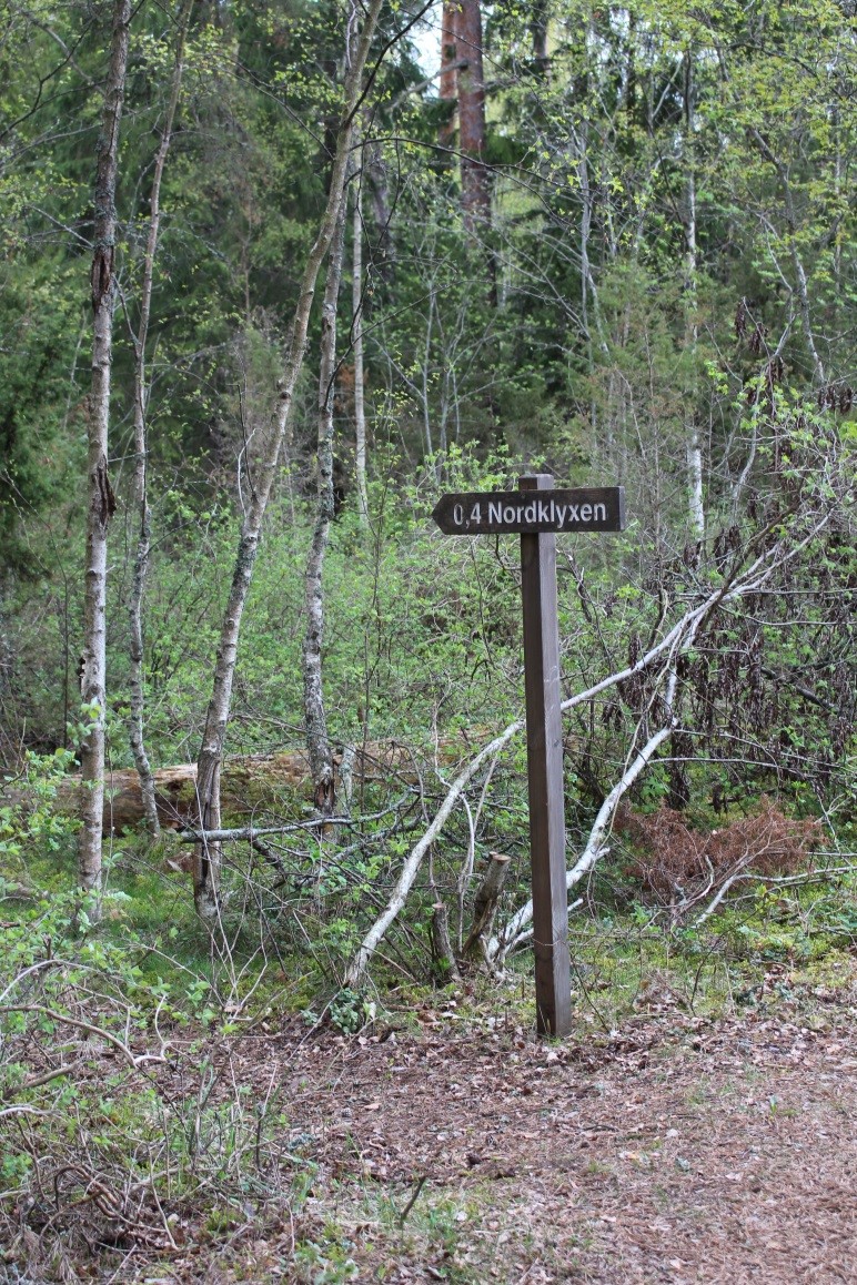
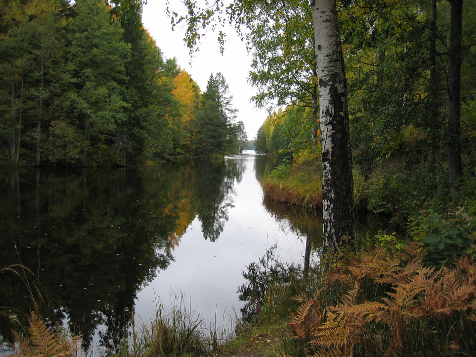
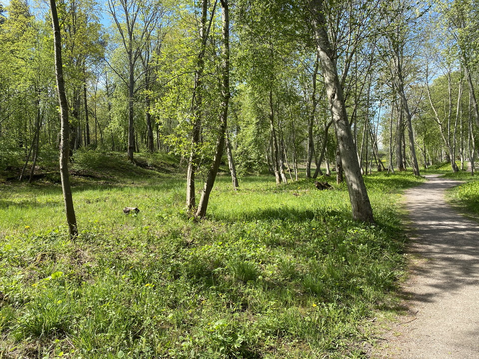
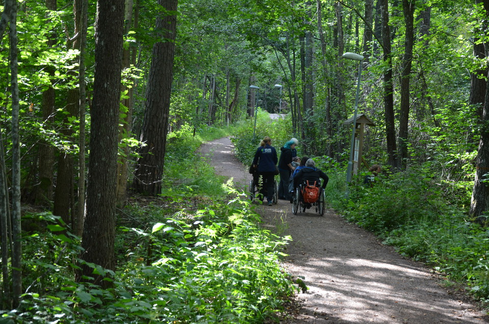
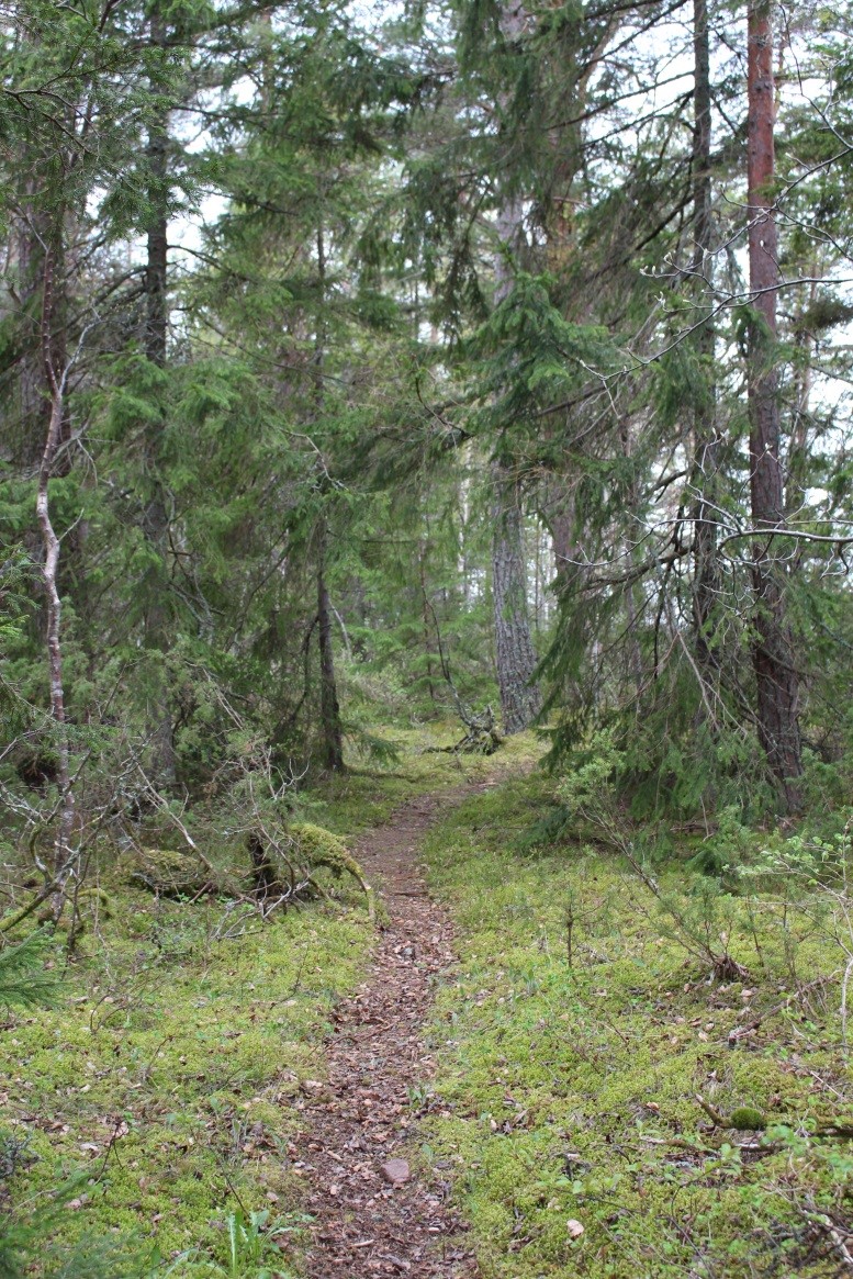
Narrow forest trail in the western part of Billudden Nature Reserve. The path is mostly level and easy to walk.

Älvkarleby
Naturkartan samlar de vandringslederna i Älvkarleby som är populärast bland våra användare.
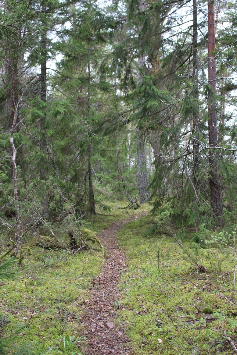
Narrow forest trail in the western part of Billudden Nature Reserve. The path is mostly level and easy to walk.
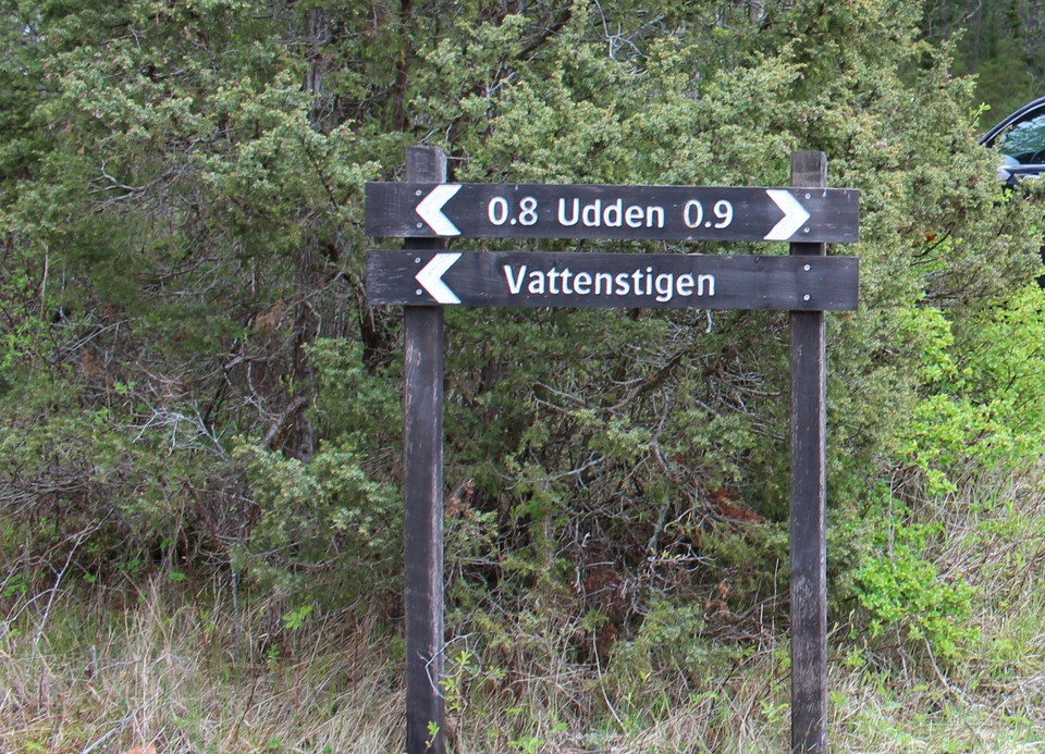
There are many paths on Billudden. There is a three-kilometer long, easy-to-walk gravel road to Billhamn. Along the way you can turn off onto Klyxenstigen, a nature trail for children. From Billhamn you can continue on trails along the cape's shingle beache…
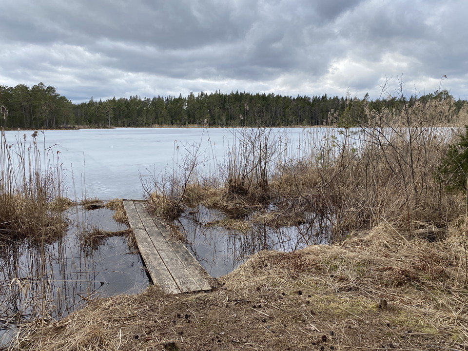
At Billhamn begins Vattenstigen, a 1.8 km long nature trail that runs along the beaches at the far end of Billudden. Along the western shore you walk on pebbles, while on the eastern side it is mostly forest path. There are five stations along the path, mar…
Section 16, perhaps the most beautiful part of The Uppland Trail, begins next to River Dalälven in Marma. It goes through easy-to-walk, sandy areas along the River Dalälven, and ends by the tourist hotel in Älvkarleby. From Marma, you’ll follow the water to…
This short section will take you from the tourist hotel in Älvkarleby to former farm Långhäll and the county border towards Gästrikland on forest paths. After a few hundred metres along the road, the trail turns off into the forest. A couple of kilometres l…
Bodaslingan is a paved walkway along the Bodaån, part of the Dalälven. There are barbecue areas, an outdoor gym and picnic benches along the walk.
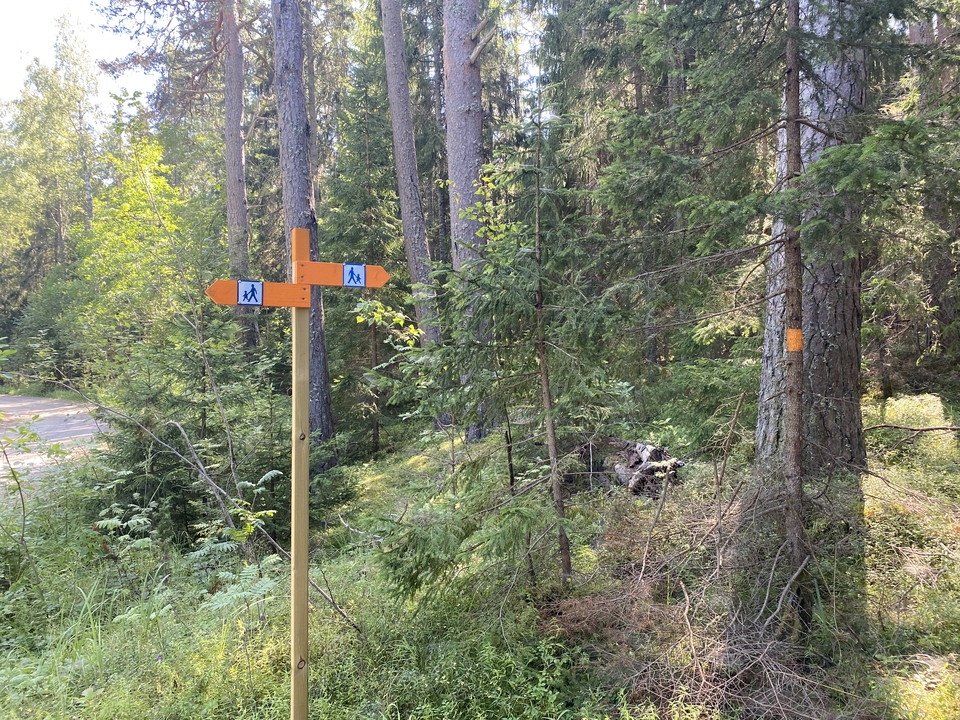
Connection to the trail at Brämsand in Billuddens nature reserve. Follow orange markings from the service building at Brämcampingen. The connecting path including the trail loop is about 2.5 km long. The trail is nice and easy to walk.
Above Laxön, Upplandsleden runs along a minor road. North of Laxön, you can turn left and follow a graveled walkway south along the river. Where the footpath ends, turn out onto Laxön ingen. Feel free to take an extra turn onto the southernmost tip of Laxön.
Naturkartan samlar de vandringslederna i Älvkarleby som är populärast bland våra användare.