


Finnleden Mellersta
Wędrówki piesze
- Województwo: Värmlands län
- 6552.45 km od Ciebie
Szczegóły dotyczące szlaku
- Długość 5.0 km
- Trudność Zielony - prosty
Akcje
Opis
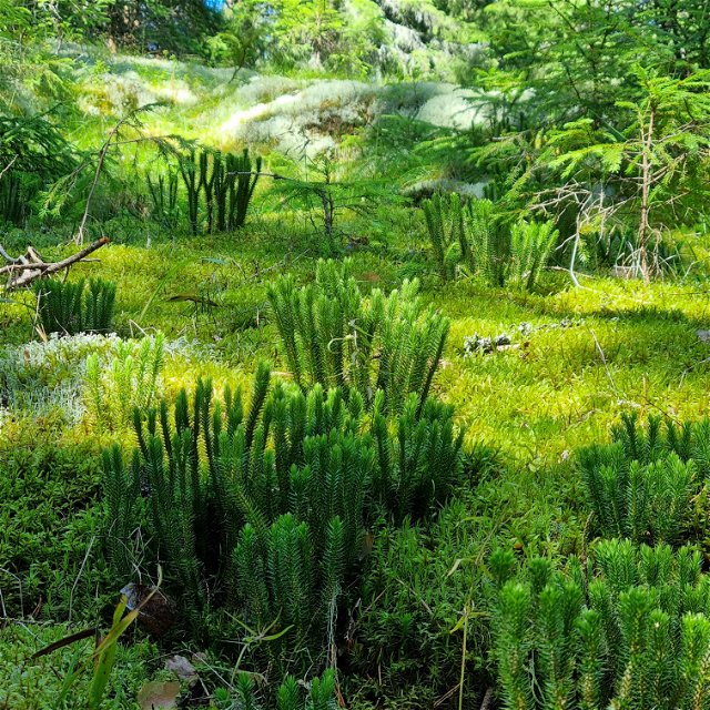
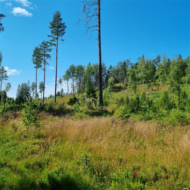
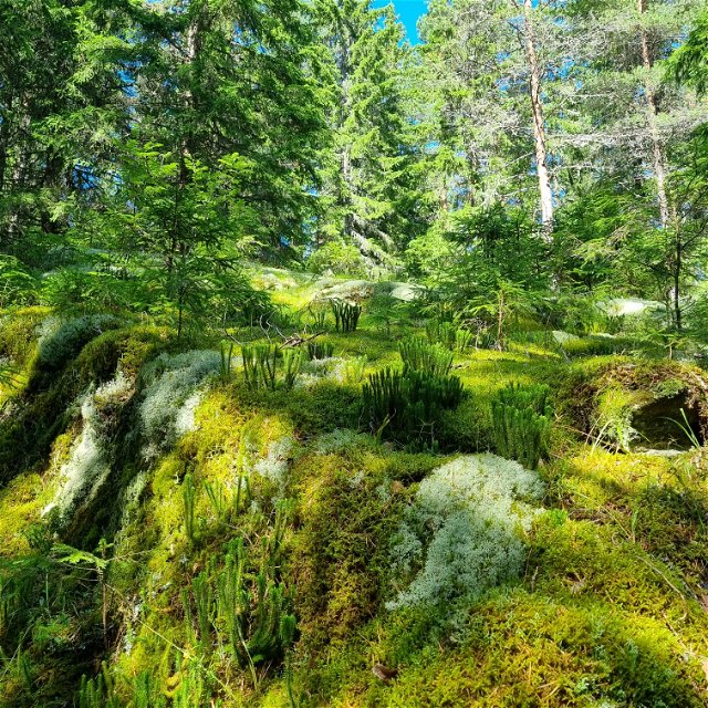
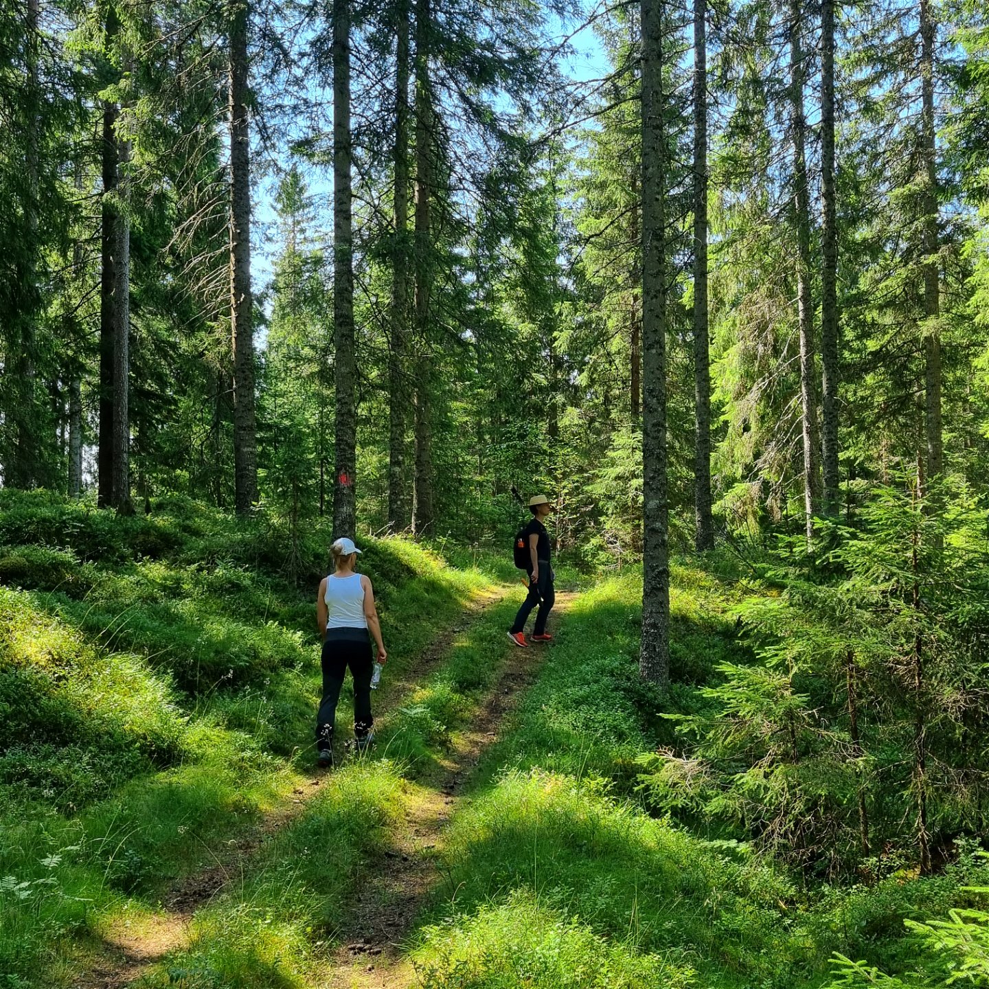
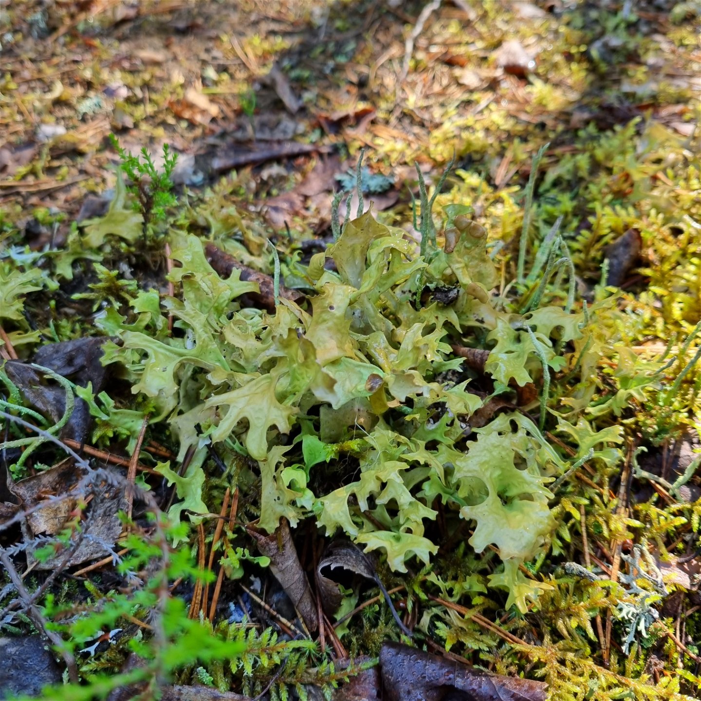
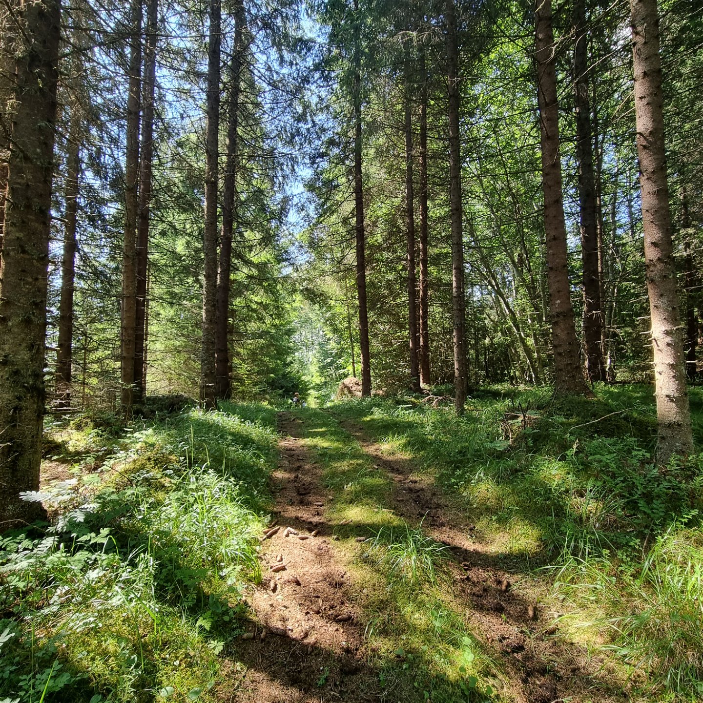
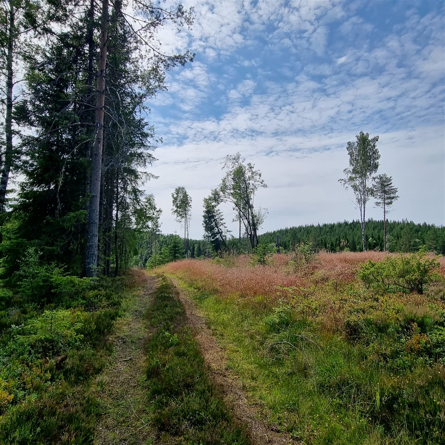
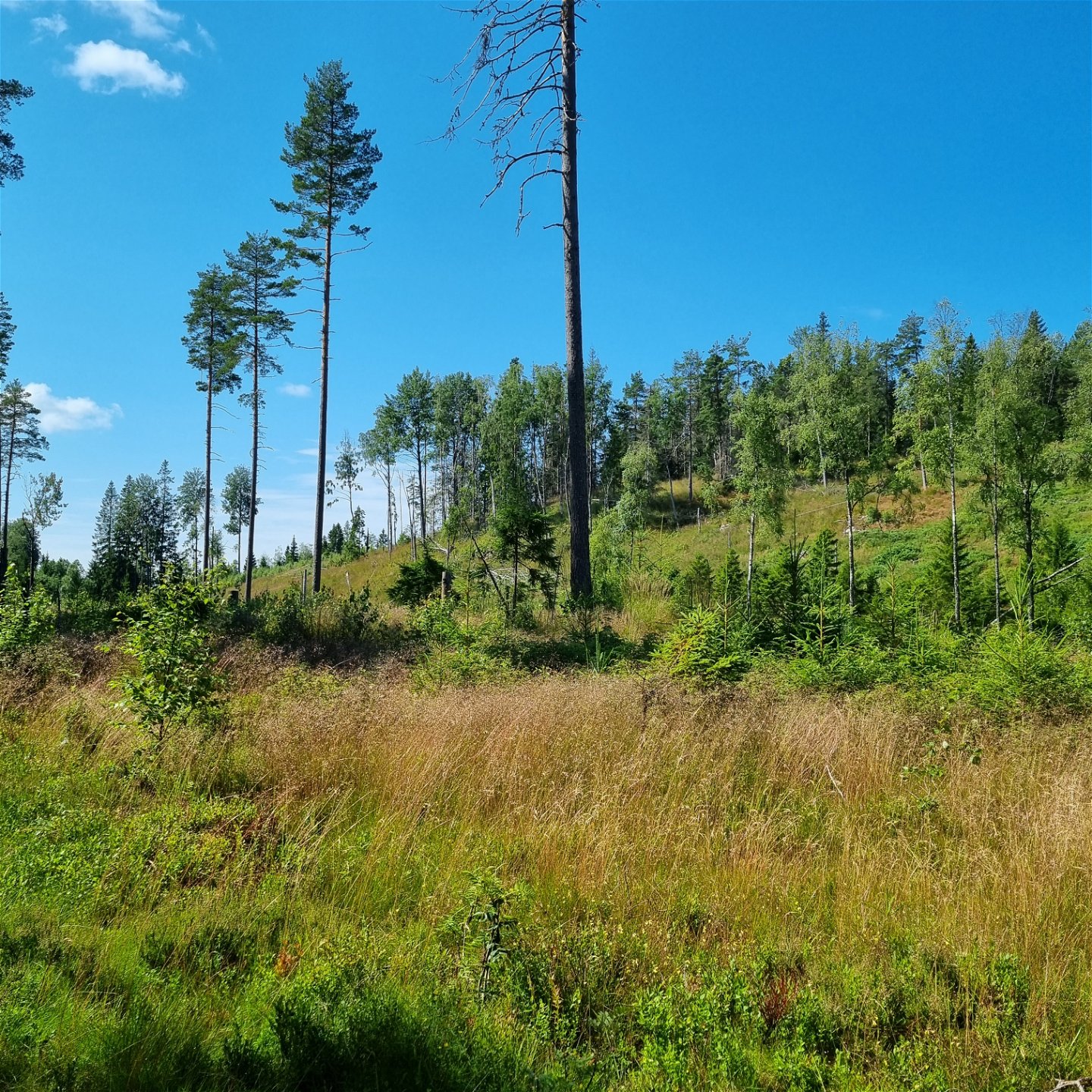
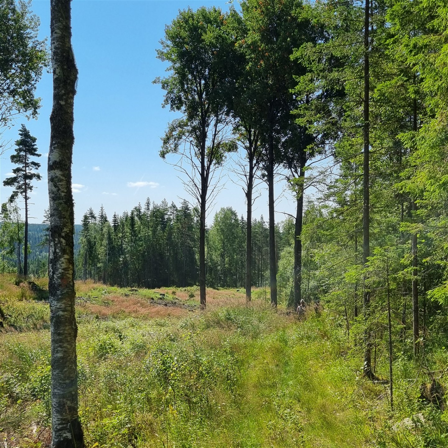
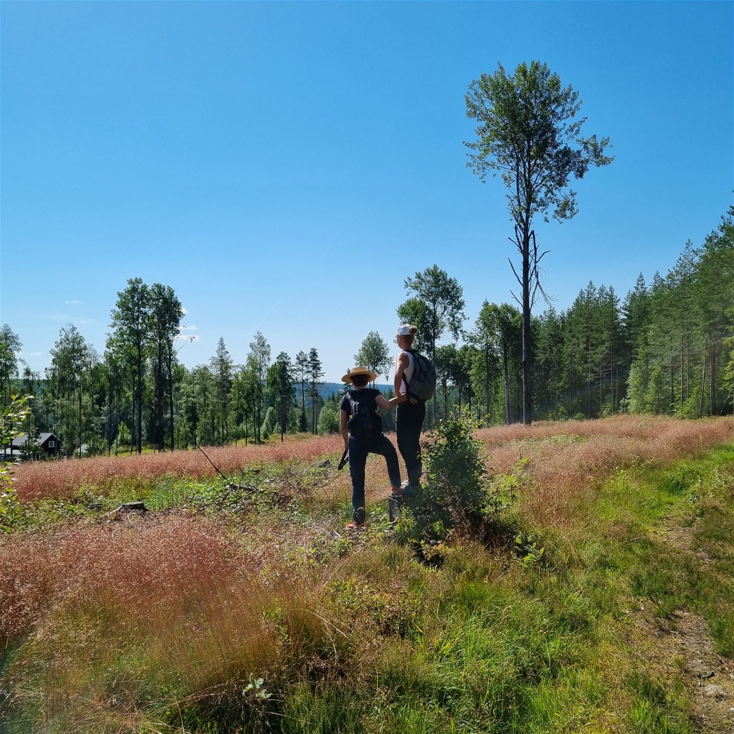
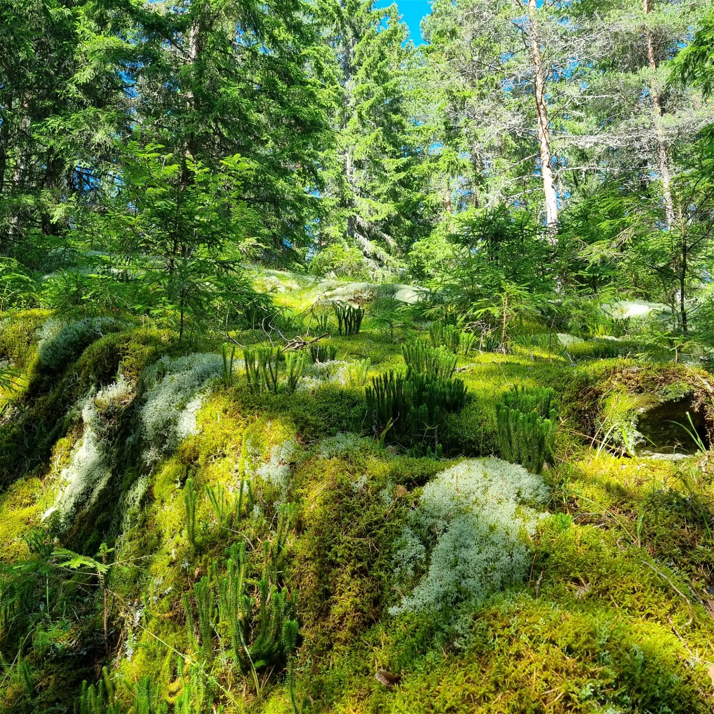
An easy walk on wide forest paths or carriage roads, through spruce and pine. The trail passes som crofts and farms, but mostly you have the surroundings to yourself. The cutting areas are grassy and give a feeling of meadows, where you can enjoy light, colour shifts and flowers.
Summary
Finnleden is a system of trails in Mangskog of around 30 km, with three different starting points - in Slobyn (VÄSTRA), Tobyn (MELLERSTA) and at the Mangskog church (ÖSTRA). From the north west at Bråtarna there is an access road of 1,2 km which at the Finn croft Porna connects to the stage starting in Slobyn. In the north the trails meet in one, continuing north to the Sunne border and the next trail system at Ängen. Via Tiskaretjärnsleden, Tischasslingan and Gruvrundan it is possible to continue into Arvika again, crossing the municipality border to Gunnarskog via Bruksleden. The area is characterized by wilderness spirit and beautiful nature. There area remains of Finn culture and historical forestry work.
VÄSTRA/WESTERN TRAIL (9 km) – beautiful nature along this trail, starting in the small village Slobyn at 165 masl and ending in the wilderness at 300 masl. Varied terrin with mires, tarns and croft remains. The trail crosses a small stone bridge by the tarn Fågeltjärnet.
MELLERSTA/MIDDLE TRAIL (5 km) – nice walk through forests on wide paths and carriage roads. About halfways you can see the tarn Gravtjärnet a bit from the trail.
ÖSTRA/EASTERN TRAIL (18 km) – beautiful nature and wilderness spirit in varied and hilly terrain. View over lake Lången and heights, spruce and pine forests, mires, carriage roads, forest paths and croft remains. Shorter stages on logging roads.
Phone coverage varies. Mostly bad coverage on the western trail, somewhat better on the Middle and Eastern trail.
Suggested starting point
Please note that the 5 km distance is between Tobyn and the junction where the three trails meet. So you need to add the distance for a possible pick-up point, as you cannot drive to the junction. See alternatives for a circular route below.
There is no official parking place at the start sign in Tobyn.
The trail can also be used as a combination with surrounding trails.
Circular option (11 km)
If you want to make Tobyn your return point and can accept a stage of asphalt, the road 878 passes the tarn Nedre Flytjärnen, where there is a bench table and further south the beautiful creek Tobyälven, running next to the road. You also pass the old mill Knaggen. The road is not busier than to allow pedestrians.
Działania i udogodnienia
-
Wędrówki piesze
Powierzchnia
Mestadels breda skogsstigar och kärrvägar. Korta partier av grusväg. Några blöthålor finns vid vägskador. De går att ta sig runt, men kängor rekommenderas.
Parking
Det finns plats för någon enstaka bil vid södra starten i Tobyn, men lättast är att parkera i norra änden, på Salungen-vägen och gå 1 km ner till korsningen där de tre finnlederna möts. Alternativt kan man ställa bilen vid påfartsvägen i nordost, från väg 878 och gå 1 km till ovannämnda korsning.
Komunikacja
Egen bil rekommenderas.
Pliki
Kontakt
Adres
Besöksadress:
Visit Arvika
Arvika Turistbyrå, Storgatan 22
671 31 Arvika
www.visitarvika.se
Adres e-mail
Visit Arvika
Pytania i Odpowiedzi
Zadaj pytanie innym użytkownikom Naturkartan.
