-
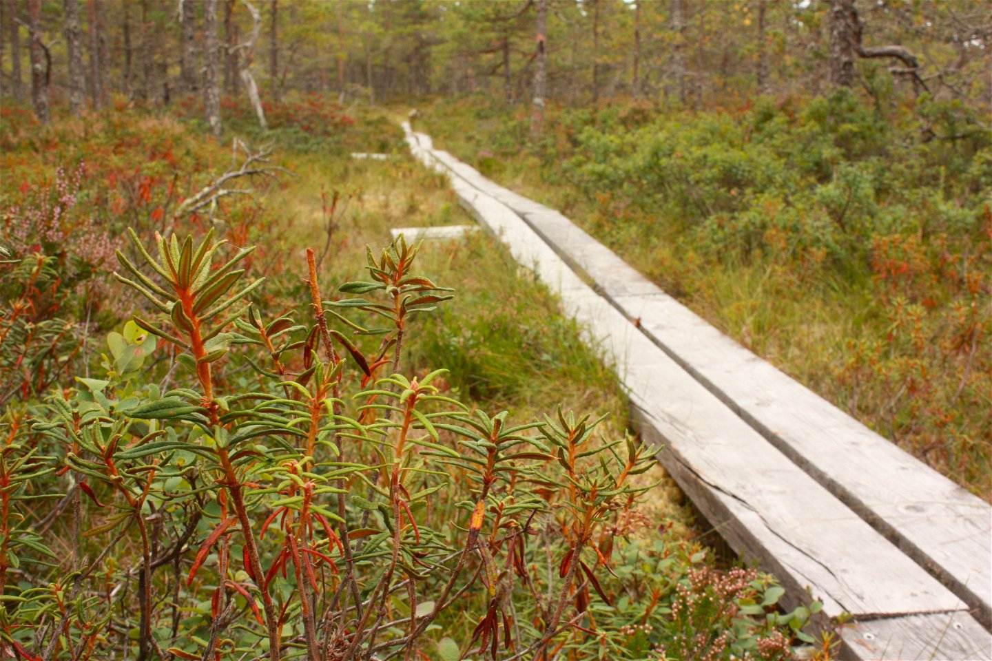
Spång vid Grillholmen.
Photo: Emelie Runfeldt -

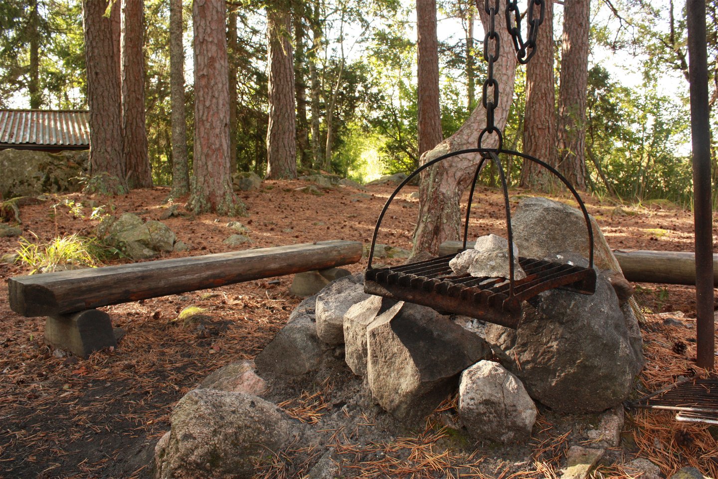
Grillholmens rastplats.
Photo: Emelie Runfeldt -

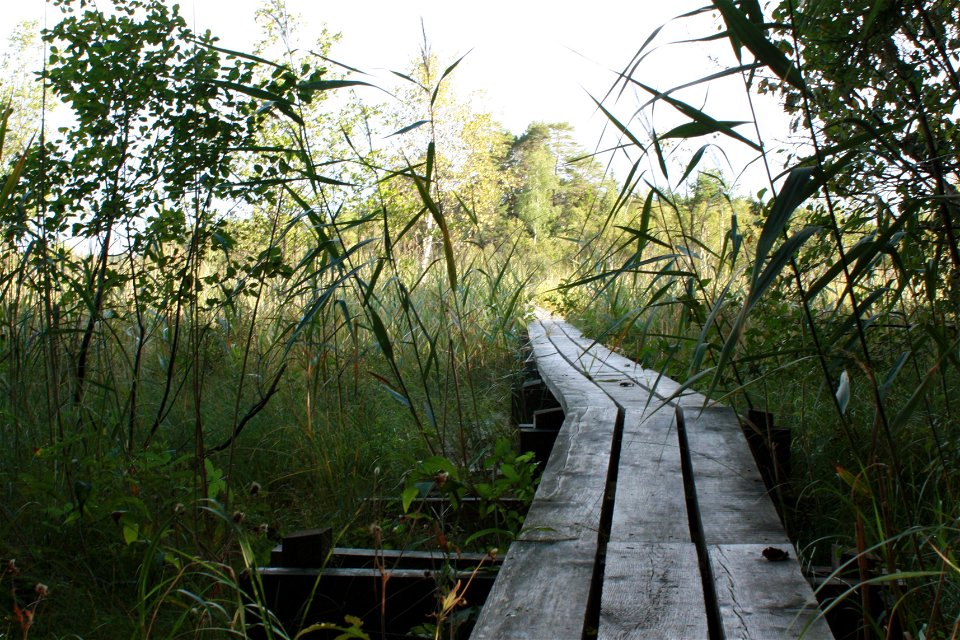
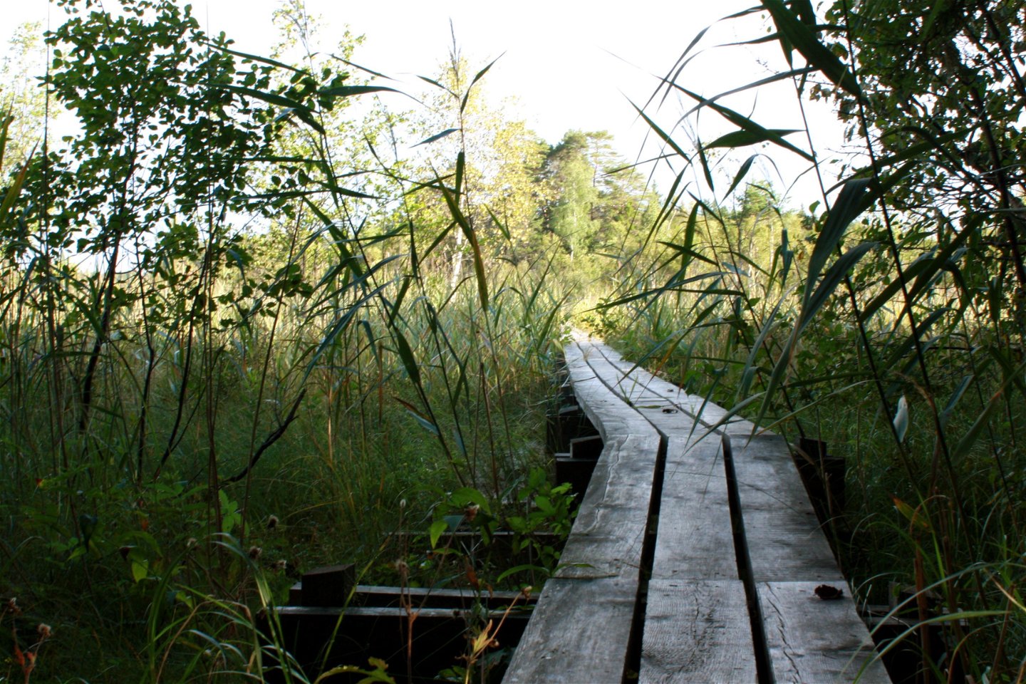
Kungaspången.
Photo: Emelie Runfeldt -
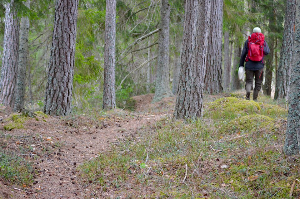
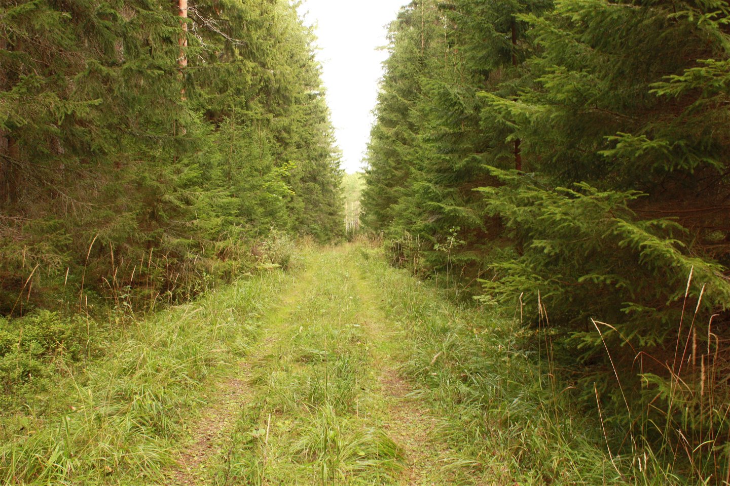
Skogsvandring i södra delen av reservatet.
Photo: Karolina Vessby -
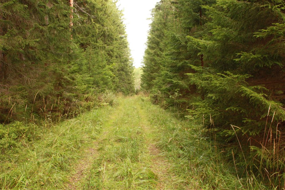
Skogsbilväg längs västra delen av slingan.
Photo: Emelie Runfeldt -
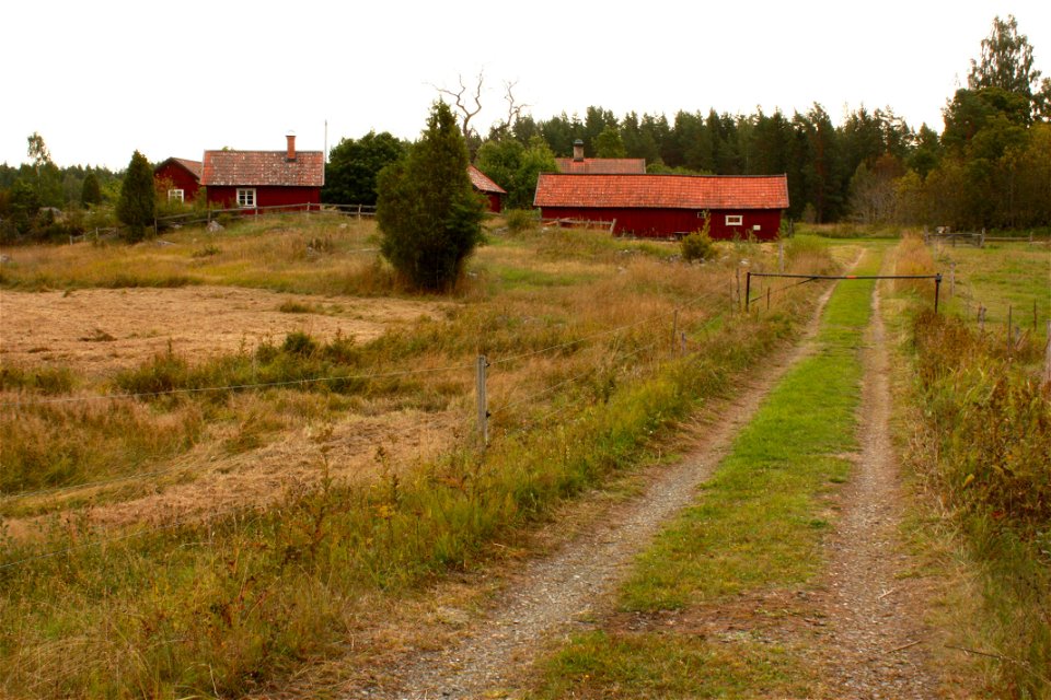
Risön.
Photo: Emelie Runfeldt


The Uppland Trail, Walk 12:2, 10 km
Hiking
- County: Uppsala läns natur
- 6770.24 km away from you
Trail details
- Length 10.0 km
Actions
Description
Welcome to Uppsala county’s biggest nature reserve, which gives you an experience of true wilderness. Florarna is one of southern Sweden’s biggest unaffected bog areas. In the dense, old forests, and around dark forest lakes, you can – at the right time of year – hear the sounds of many wild birds, such as the black grouse, black-throated loon and snipe. You can start and end your walk either at the open lodge Risön at the northern end of the reserve, or at the southwestern rest spot Stormon. The western part of the walk, which is on forest paths, roads or sturdy foot bridges, is a bit easier to walk (compare with section 12). The eastern trail is exclusively on forest paths and foot bridges, such as the 500 metres long Kungaspången Footbridge. Apart from Stormon (with a wind shelter), there are a two further rest spots with fireplaces along the walk; Grillholmen to the northwest, and Staffansholmen to the southeast. From the latter, you’ll get a glimpse of Lake Vikasjön.
Difficulty level: Medium, forest paths, foot bridges and forest roads for cars.
Activities And Facilities
-
Hiking
-
 Circular trail
Surface
Skogsstigar, spänger och skogsbilväg
Parking
Parkering finns vid Risön i norra delen och vid Stormon och Vika i södra delen av Florarnas naturreservat.
Directions
Floran ligger norr om Österbybruk och Örbyhus i norra Uppland. Om du kommer söder ifrån är Stormon närmaste startplats. Kör väg 290 eller 292 till Österbybruk. Därifrån till Film varifrån det är skyltat mot Floran och Stormon.
Norr ifrån väg 76 till Lövstabruk där det är skyltat mot Ör
Contact
Email address
Upplandsstiftelsen
Organization logotype
![]()
Questions & Answers
Ask a question to other Naturkartan users.