


The Uppland Trail, section 6, 15.5 km
Hiking
- County: Uppsala läns natur
- 6809.62 km away from you
Trail details
- Length 15.5 km
Actions
Description
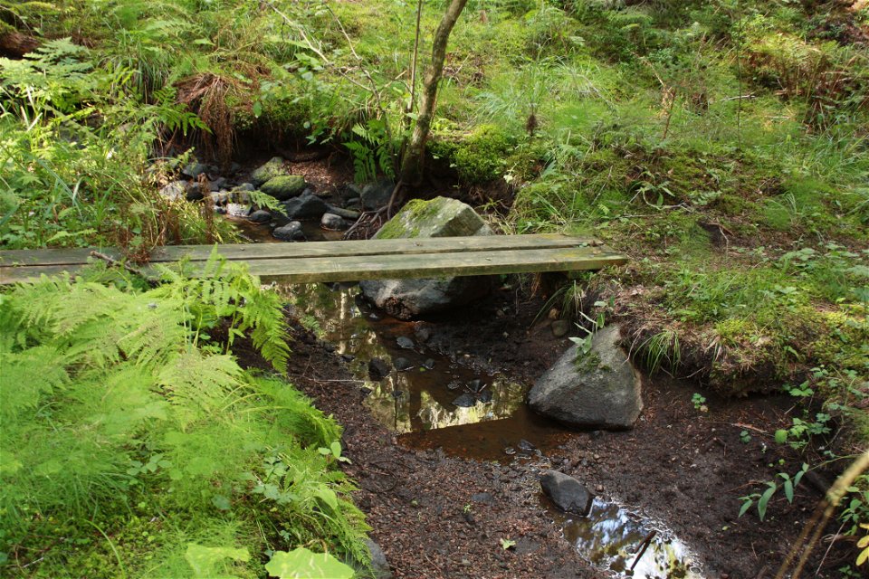
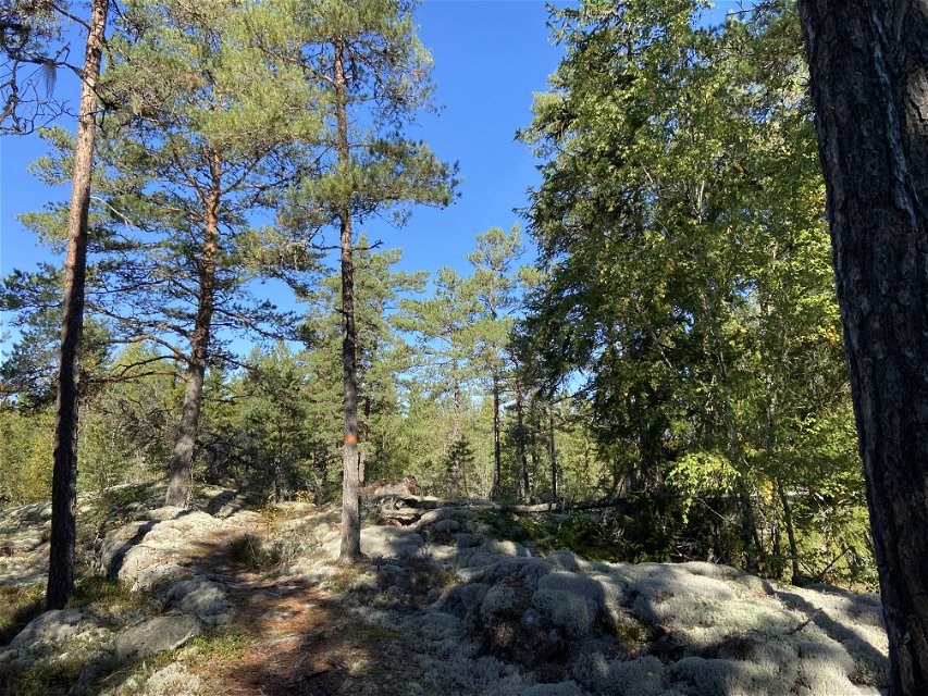
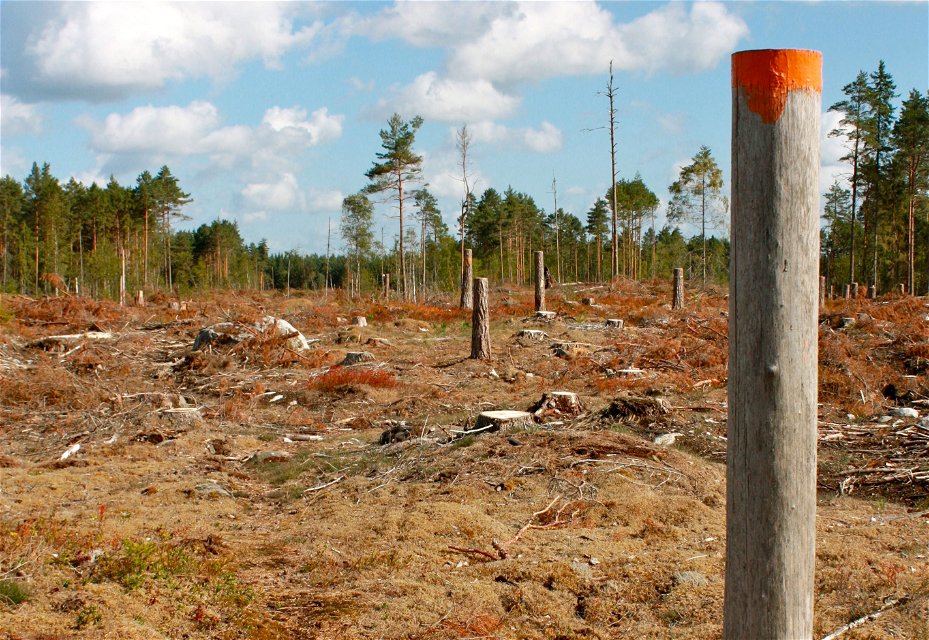
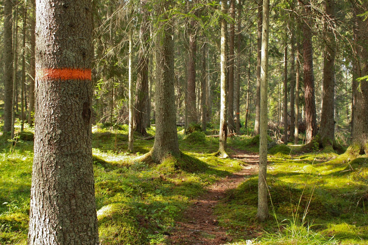
The hike begins at the beach by Lake Södersjön, and ends at the road into Knutby. It takes you almost exclusively through forest terrain, with only a couple of houses along the way. After about 500 meters, you’ll reach a meadow. Keep to the right to see where the trail goes. Then, you’ll walk on paths through a varied coniferous forest. After a vast clear-cut area, you’ll reach a section of uneven ground where tall grass grows in the summer.
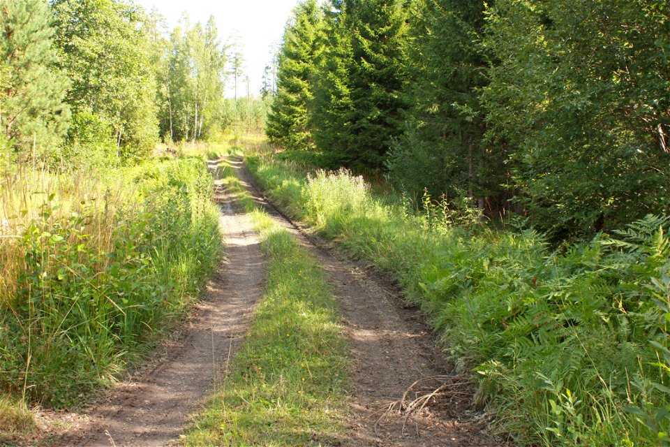
After about 6 kilometers, you’ll reach Lake Kolsjön, which has a rich bird life. You can make a brief detour to the wind shelter which has a view of the water. You’ll continue along forest and country roads to more paths, first through dense and rocky forests, then more open forests with beautiful flat rocks. The remaining 3 kilometers are along a country road to Knutby.
Difficulty level: Medium, nice paths and a few kilometers on roads.
Activities And Facilities
-
Hiking
Accessibility
-
 Near Public Transport
Parking
Parkering finns både vid start och mål. Den vid starten är ganska liten.
Communications
Södersjöns närmaste busshållplats heter Rånäs vägskäl. Härifrån är det 1,5 km promenad längs en liten landsväg fram till badplats. I Knutby finns busshållplats Knutby vårdcentral alldeles vid etappens slut.
Directions
Södersjön ligger några kilometer sydost om Almunge. Kör väg 282, genom Almunge och fortsätter mot Knutby. Sväng höger vid skylt mot Rånäs och Almunge G.K. Efter 1,5 km visar en liten skylt ner till badplatsen.
Contact
Email address
Upplandsstiftelsen
Organization logotype
![]()
Questions & Answers
Ask a question to other Naturkartan users.