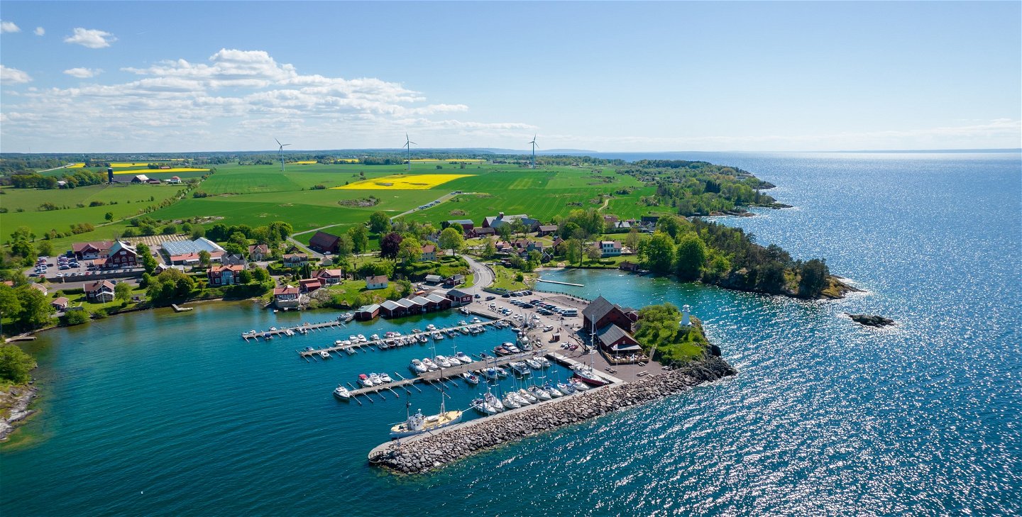
Runt Vättern


Pilgrim Trail
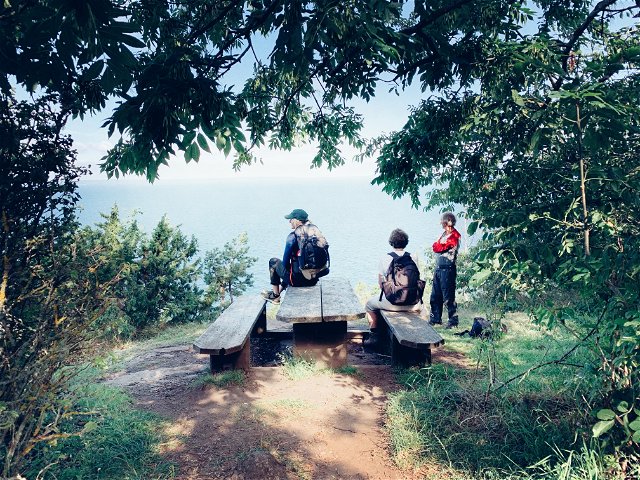
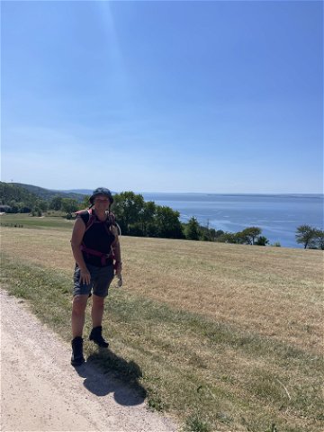
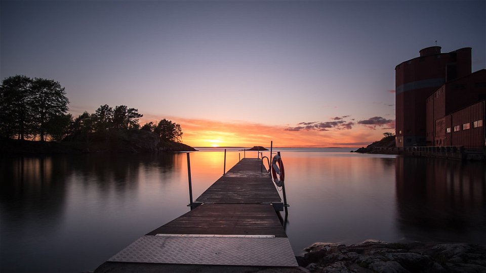
Here, St. Birgitta Ways runs along Franciskusleden. The main attraction of the trail is the beautiful nature, the nature trails and the nice restareas along Lake Vättern. The landscape is somewhat hilly, where you sometimes go higher up with a nice view of Lake Vättern and sometimes you come all the way down to the water.
At Stockseryd there are parts of well-claimed pastures and deciduous forests with, among other things, oak and hazel. The landscape is beautiful, a kind of Sweden in miniature with meadows, lush deciduous forest and red cottages with white knots.
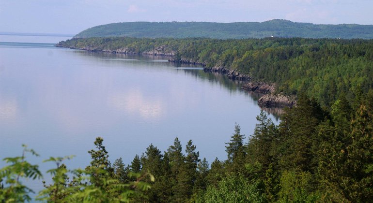
The trail is demanding in parts but with breathtaking views of Lake Vättern. The trail follows the edge of Lake Vättern, but it can be difficult to get all the way down to the water because of the steep slopes.
SMU's summer home is a beautiful resting place.
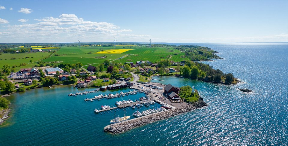
Those who want to go to the center of Ödeshög follow the 500 m long avenue east to Turistvägen. Take the opportunity to look at the Floating Bridges, three bridges next to each other from three different centuries. At the crossroads, turn left and follow the Turistvägen/den gamla riksvägen into the center of Ödeshög.
You can find more information on Franciskusleden's website
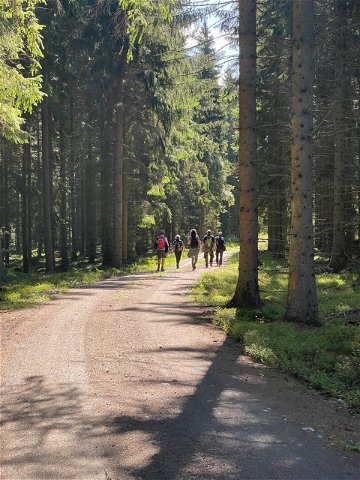
 Hiking
Pilgrim Trail
Hiking
Pilgrim Trail
Har du frågor kring leddragningar eller intressepunkter på St. Birgitta Ways kartguide. Kontakta då Emanuel Eriksson på Pilgrimscentrum
Emanuel Eriksson
![]()
Ask a question to other Naturkartan users.