


-
-
-
-
-
-

Smedjan vid Föllingsö -

-
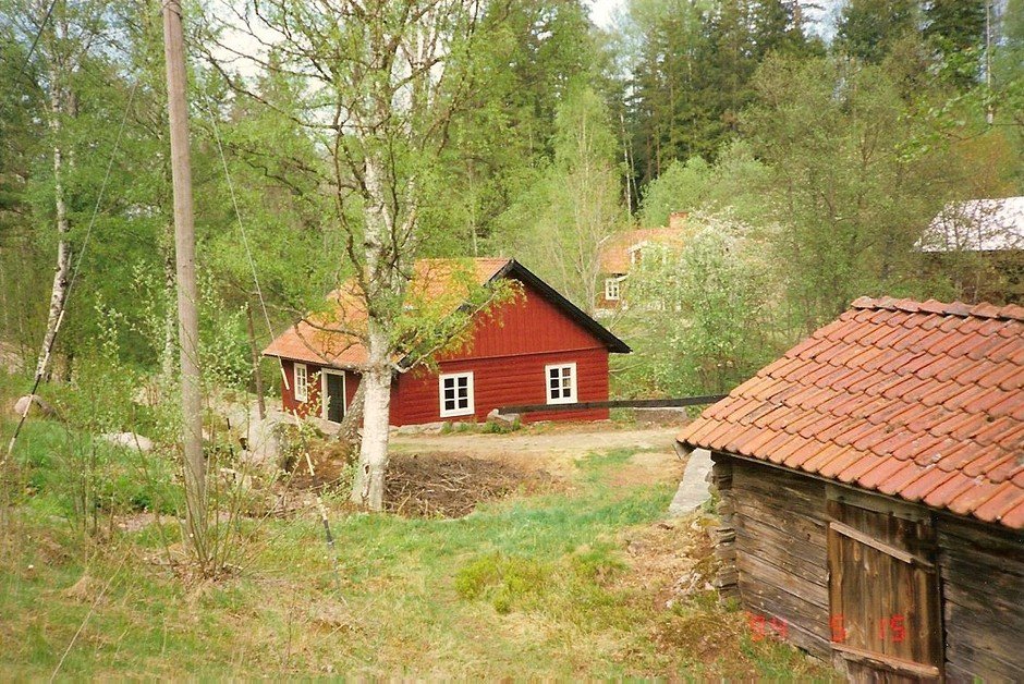
Strömsborgs kvarn

Misterfall-Kisa, Östgöta trail
Hiking
- County: Östergötlands län
- 6785.55 km away from you
Trail details
- Length 17.6 km
Actions
Description
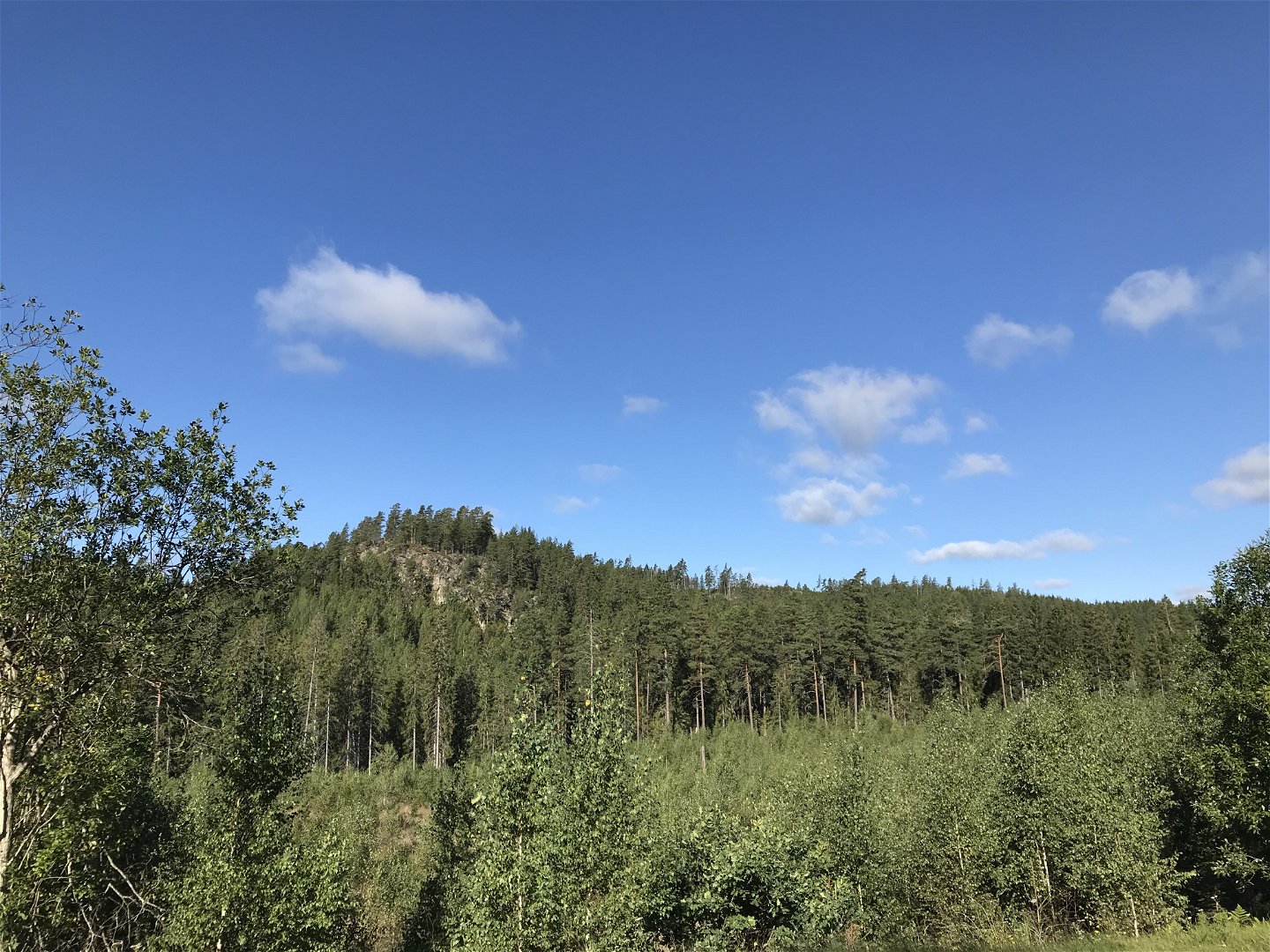
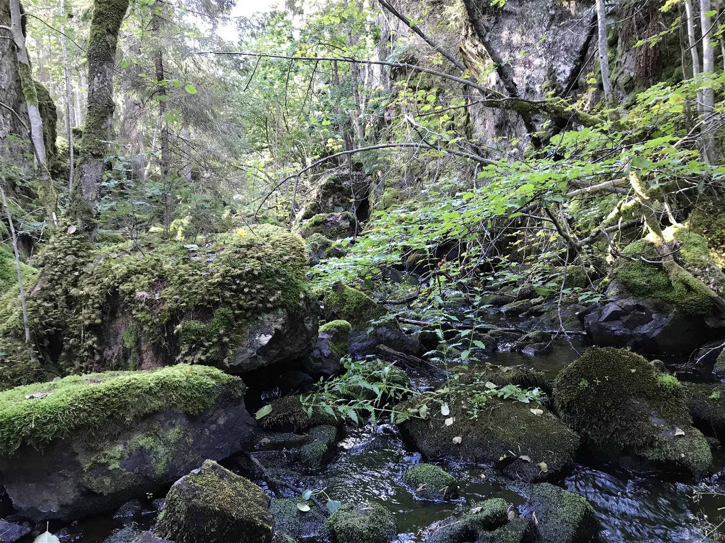
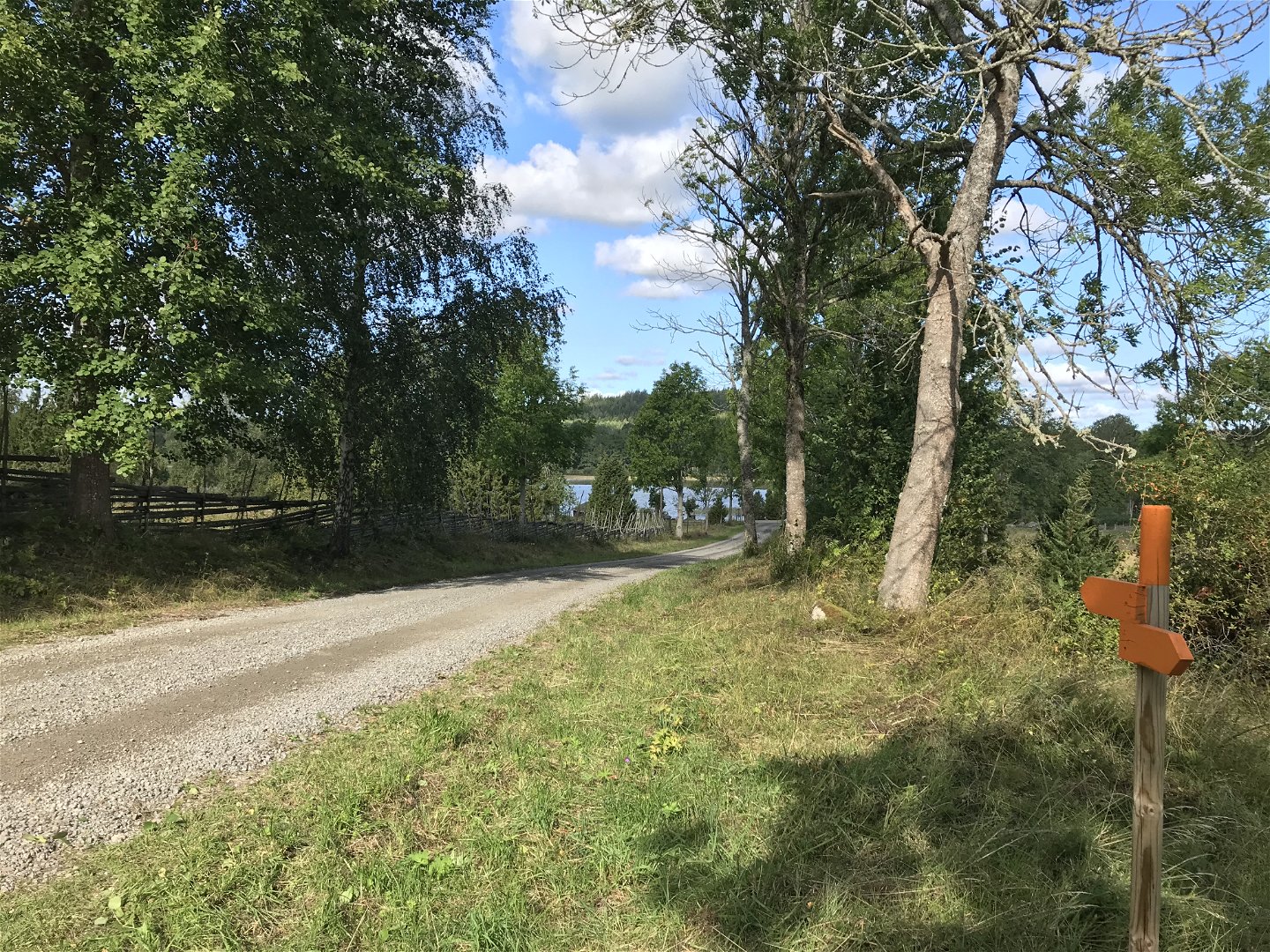
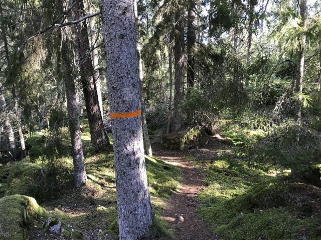
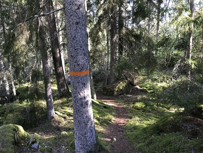
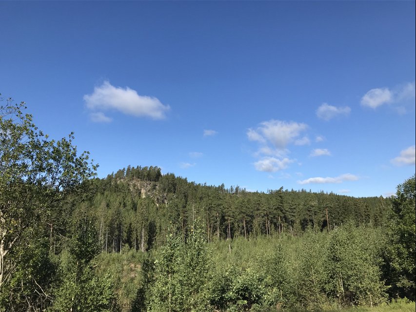
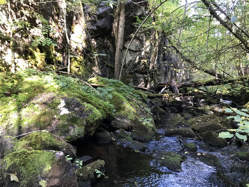
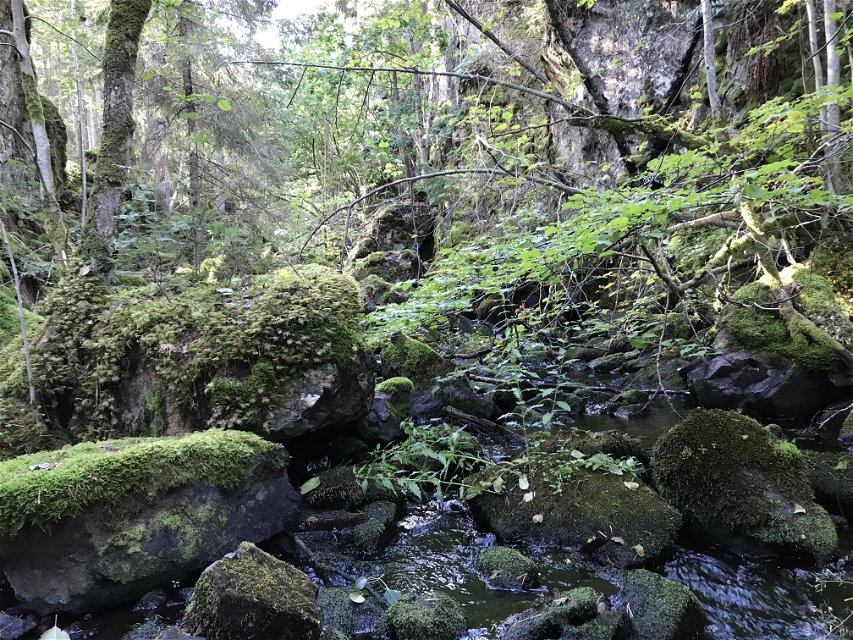
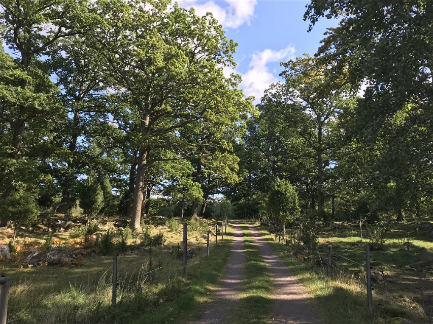
From Misterfall's ash fields you can turn off towards Kisa. You then pass Humlehögsravinen. A geologically interesting place that should really be called a canyon as it is carved out of the rock by water. The area is protected by bit protection and Natura 2000, be extra careful around the area is requested. From road 134, there is also a marked dirt track to Strömsborg's mill. The hike to Kisa is partly through forest terrain but also on small roads. The trail passes by the northern shore of Glimmingen where there is a nice swimming area.
Activities And Facilities
-
Hiking
Contact
Address
Kinda kommun Stora Torget 5 KISA
Email address
Henrik Wilén
Questions & Answers
Ask a question to other Naturkartan users.
Reviews
You might also be interested in
