-

Photo: Maria Söderberg -
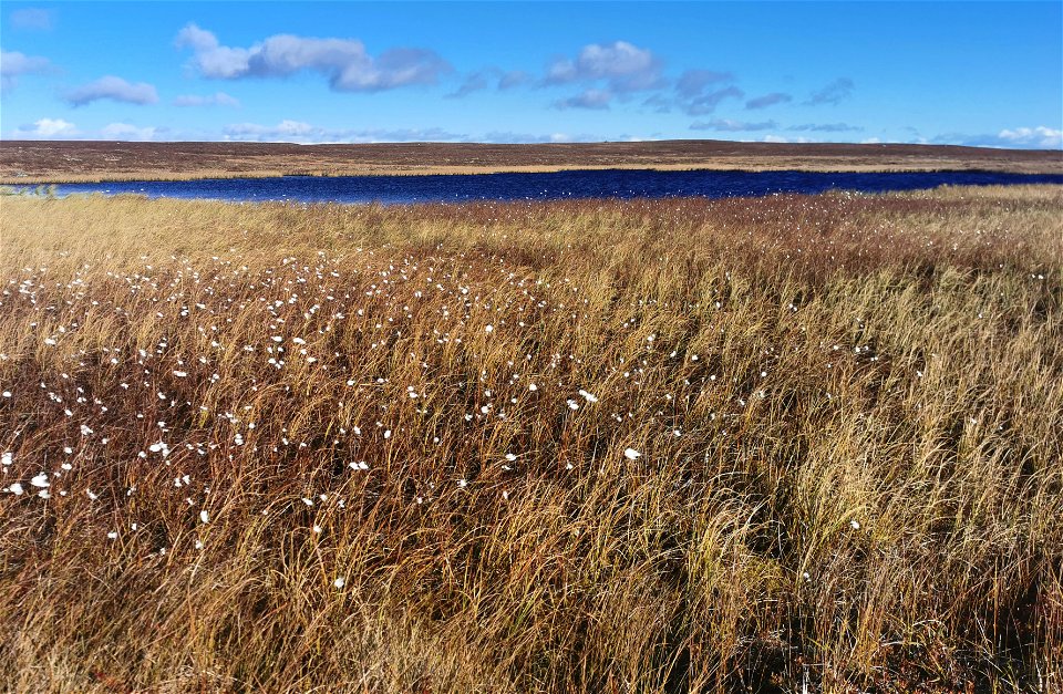
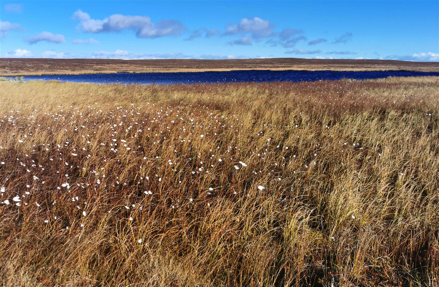
Ängsull
Photo: Maria Söderberg -
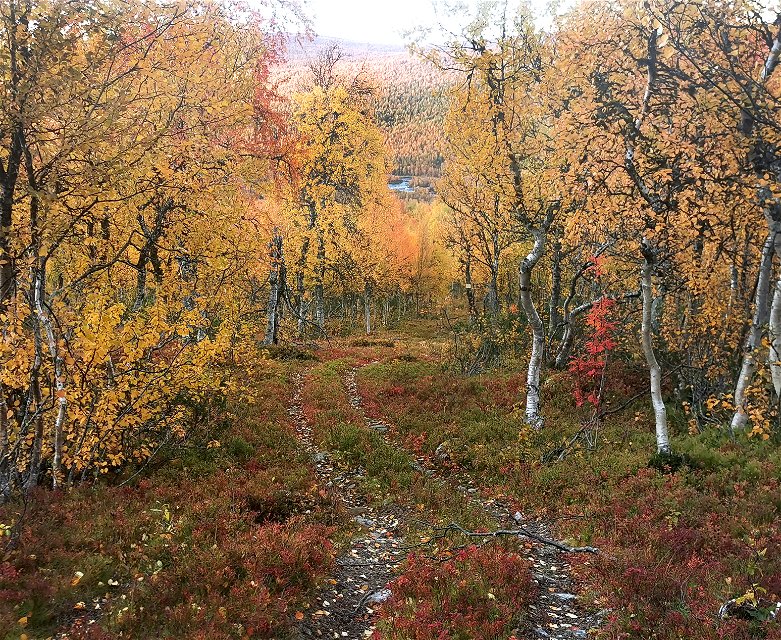
Photo: Maria Söderberg -

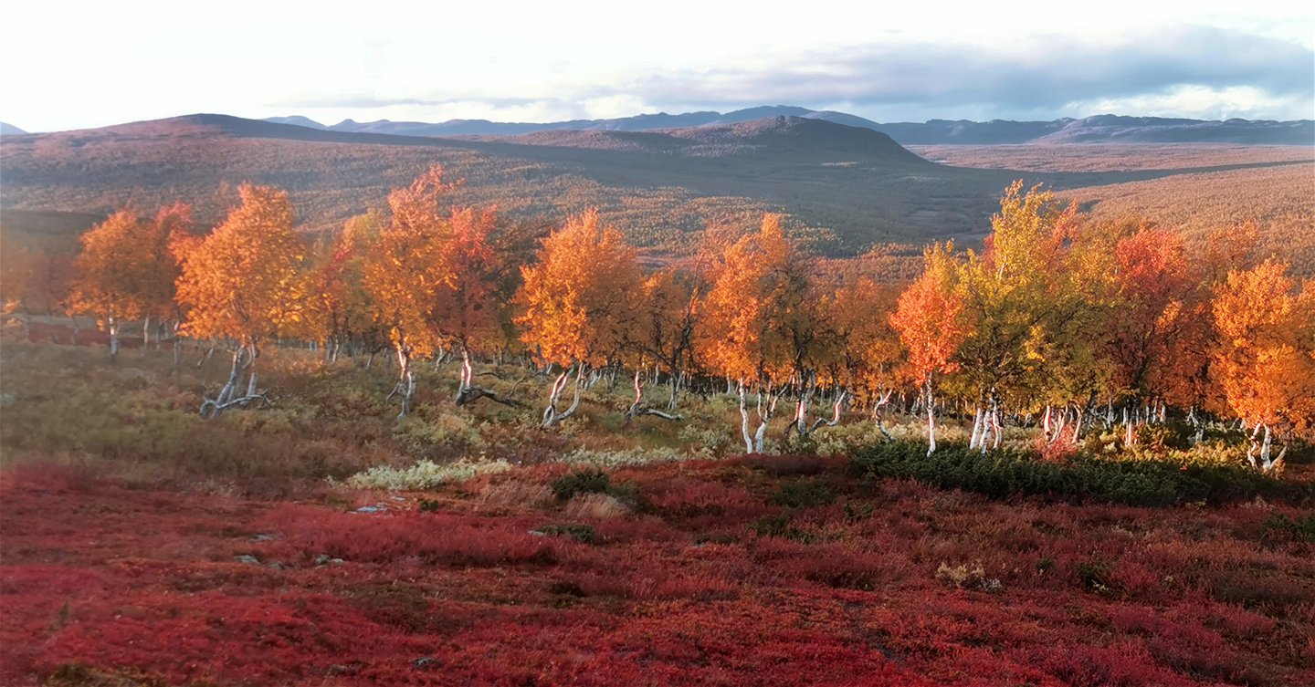
Photo: Maria Söderberg -

Photo: Maria Söderberg


Västra Laisvall–Västerbotten County boundary
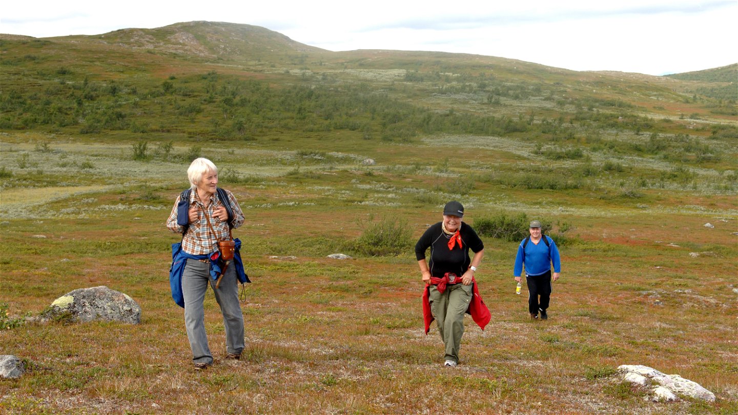
Hiking
- County: Länsstyrelsen Norrbottens län
- 6413.66 km away from you
Trail details
- Length 23.0 km
- Time 8 h
Actions
Description
The trail starts west of Laisan, which is part of Laisälven River. There is no enterprise offering boat rides across Laisan, but you can ask the local population. There is a boat quay at the village of Laisvallby.
The trail begins behind dog kennels on a property. There is a signpost pointing towards Ammarnäs. At first you hike across fairly level terrain in a beautiful pine forest and walk on plankways across wetlands. Then you begin to climb for about 2 km.
In the south-west lies Niebsurte mountain, 918 m asl. The birch forest is dense and rich in plants. SvaipaSámi community uses this land, and there are several reindeer herder cabins along the trail. The trail is in places identical with the quad bike track used by reindeer herders and hunters. It is low-lying mountain landscape with large grasslands, juniper sprigs and ancient birches. The hiking is easy, but includes wet stretches and sometimes the trail markings are hard to see, so consult a map or GPS. The trail passes close to the nature reserve Laisdalen Old-growth Mountain Forest, which is 100 km long and lies on both sides of Laisälven River.
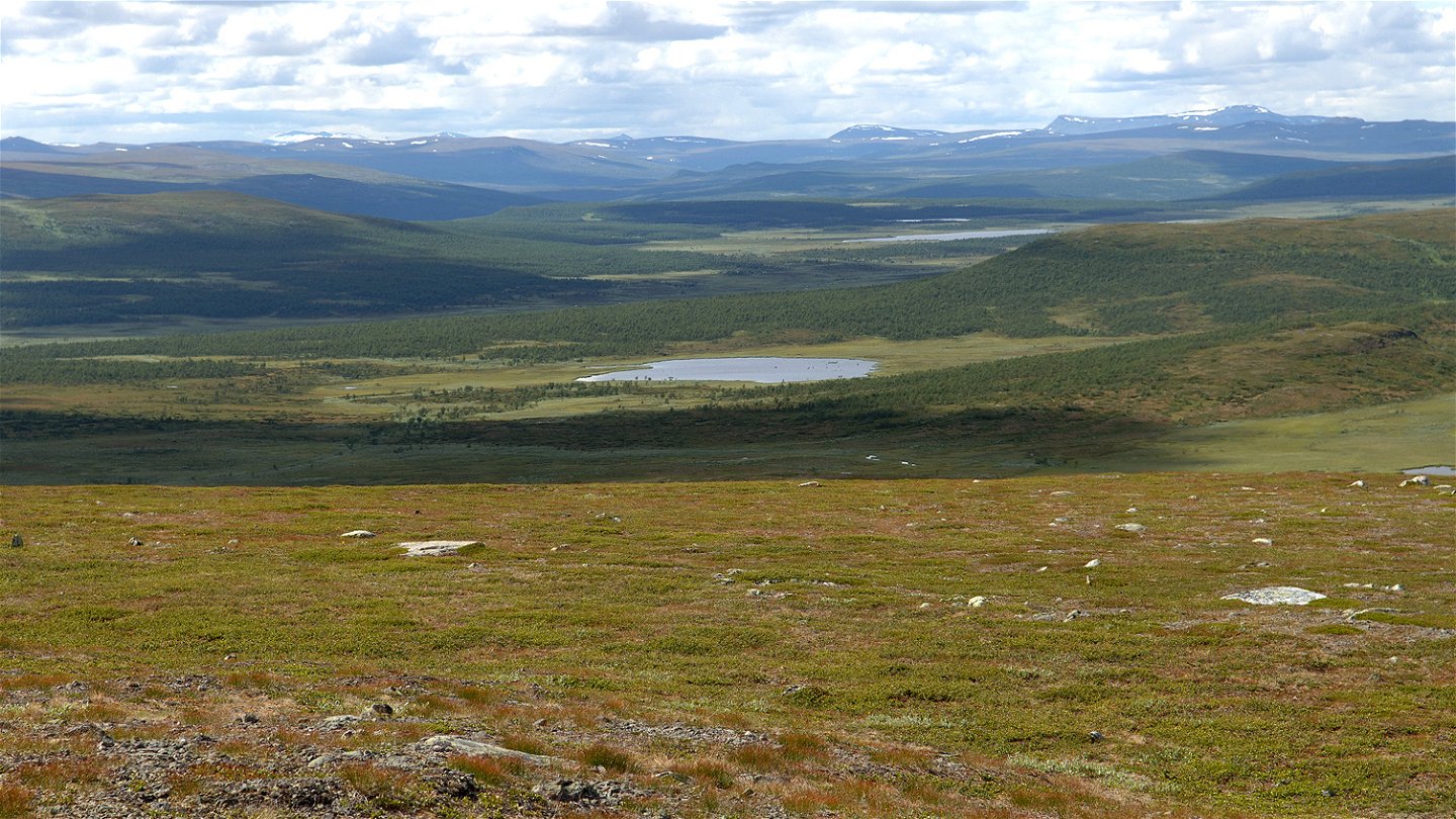
Soon you are hiking downwards towards the river Dellikälven/Dielliekjuhka. The 70 km river empties into Laisälven River and is popular among fly-fishers in particular. The ground can be marshy near the river. The trail takes you across two suspension bridges. Next is a 4 km climb across verdant terrain. When you have Stuor‑Buölliemvárdduo mountain, 942 m asl. on your right hand (south of you), the landscape opens up.
The broad Björkfjället mountain forms the backdrop and the views are magnificent. Now you just need to trudge on for 10 kilometres in the open, treeless terrain, with small lakes and marshes. The trail markings need restoration and there are no shelters or overnight cabins. At the same time, it is a fascinating stretch and you can be almost certain you will not meet a single hiker. You take away with you above all the changing birch forest. For that reason the recommendation is an autumn hike, which in addition is mosquito-free.
After the boundary with Västerbotten County there is a trail to Ammarnäs which is just over 22 kilometres long. The county boundary is marked with a sign.
Duration: One day for the stretch itself, but the logistics mean at least two days’ hiking.
Activities And Facilities
-
Hiking
Facts
Utflyktsguide: Niebsurte(Arjeplogs kommun, 2015)
(Swedish)
Surface
Largely easily-hiked terrain with mountain birch forest. Marshy ground in several places, varying depending on rainfall. The trail is in places hard to find.
Communications
A bus runs from Arjeplog to Laisvallby village. From the village a boat ride is then needed across Laisan stream to get to the trail start on the west side of the stream. The other starting point for this stretch lies in Ammarnäs in Västerbotten County. From Ammarnäs it is just over 22 km to the county boundary.
Länstrafiken Norrbotten website
Arjeplog Taxi, +46 (0)961-303 50, bokning@arjeplogtaxi.se
Arjeplog Lapland website
Contact
Email address
Länsstyrelsen Norrbotten
Organization logotype
![]()
Questions & Answers
Ask a question to other Naturkartan users.