-
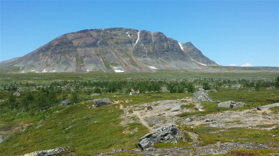
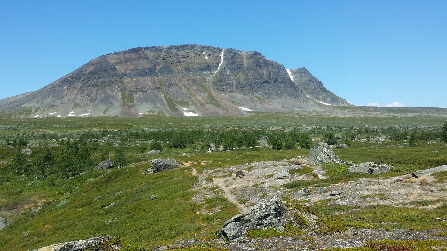
Goabddátjåhkkå.
Photo: Ivar Palo/Länsstyrelsen -
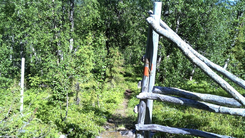
Photo: Ivar Palo/Länsstyrelsen -
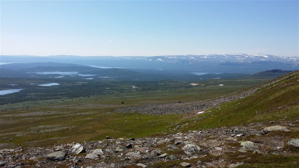
Photo: Ivar Palo/Länsstyrelsen


Kvikkjokk-The Pite River, The King's Trail
Hiking
- County: Länsstyrelsen Norrbottens län
- 6406.87 km away from you
Trail details
- Length 34.0 km
Actions
Description
South of Kvikkjokk the King’s Trail is not as well frequented. Nor is there the same system of overnight cabins as further north, so a tent must be carried for tours over several days. However, the trail does pass some cabins and several small settlements offering accommodation on the route to Hemavan, so there is a possibility to sleep indoors some nights for those who wish. You walk on low fells, interrupted by areas with verdant birch forest and montane forest with coniferous elements.
The stretch begins with a 3 km boat transport across Lake Sakkat from Kvikkjokk to Mallenjarka. Information about boat transport is available on Kvikkjokk Boat Tours website. There are no rowing boats. After the boat crossing, the trail continues up through virgin spruce forest which gives way to mountain birch forest. At Tsielekjåhkå just before the bare mountain lies a stopover cabin managed by the Swedish Tourist Association. It can be suitable to rest here. The continued stretch over the bare mountain is very easy to hike and offers beautiful scenery. You follow Suoŋergårsså Ravine and pass the remarkable cliff face Goabddábakte. At the pass after the ravine, an X-marked winter trail turns off from the King’s Trail down towards the Sámi settlement Parka. It is easy to go wrong here. King’s Trail hikers continue along the trail which follows the mountain slope westwards. The last part of the hike is through mountain birch forest with elements of bog and pine forest. At Lake Gistojávrátj about 1 ½ km from the Pite River, a path turns off towards the abandoned village of Västerfjäll. Be sure you do not turn off southwards towards the village, but continue south-west along the King’s Trail.
There are plenty of tent pitches with access to water on the bare mountain between Tsielekjåhkå and Fálesjåhkå. However there are no overnight cabins along the stretch.
Duration: Two stages, in all 12–16 h
Activities And Facilities
-
Hiking
Surface
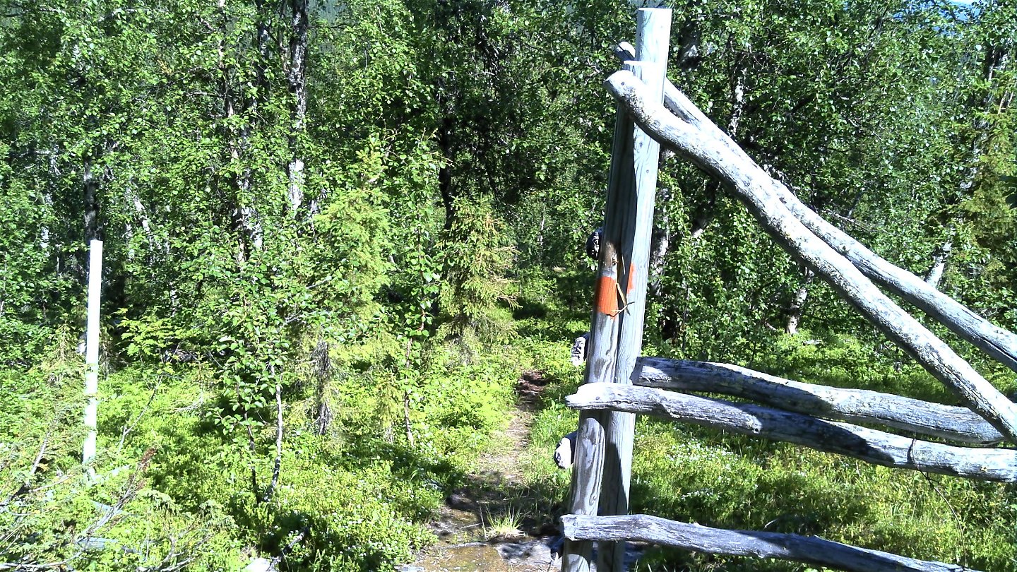
Mostly easily hiked trail, especially on the bare mountain. The slope down from Goabddápakte to Fálesjåhkå however is fairly steep in places. There is a slightly hilly and rocky part where you pass the reindeer fence at Ruovddejavrré. Many plankways along the stretch.
Communications
You get to Kvikkjokk by car or bus. There are daily bus connections between Jokkmokk and Kvikkjokk during the season. There is a car park at the start of the trail.
Länstrafiken Norrbotten website (bus and coach operator Kvikkjokk Boat Tours
Contact
Email address
Länsstyrelsen Norrbotten
Organization logotype
![]()
Questions & Answers
Ask a question to other Naturkartan users.