-

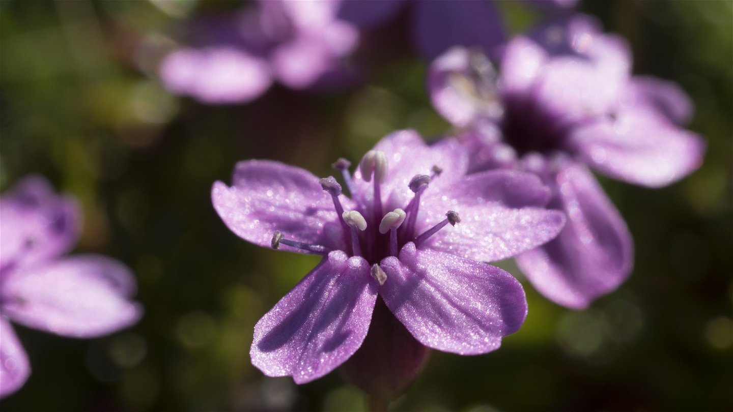
Silene acaulis.
Photo: Göran Wallin -


Vaisaluokta Mountain Cabin-Kutjaure, The Arctic Trail
Hiking
- County: Länsstyrelsen Norrbottens län
- 6351.73 km away from you
Trail details
- Length 18.0 km
Actions
Description
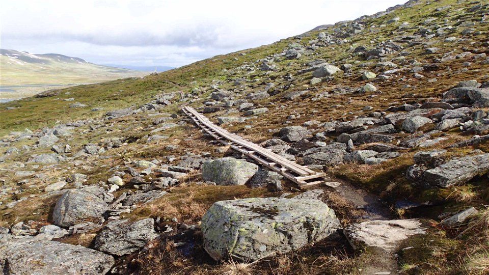
The trail follows a rocky route southwards for a few kilometres along the shore of Lake Akkajaure. The trail passes the Sámi settlement of Vájsáluokta. After the church goahte huts, walk over the suspension bridge across Guossjájåhkå stream. After the bridge, the Arctic Trail turns steeply upwards alongside the stream. About 1 km after the bridge, you reach the bare mountain. Then behind, you a beautiful view of Lake Akkajaure and the mountains in the north. After climbing for about 300 m, the trail levels out. The trail continues in an easily-hiked valley across grass pastures, brush moors and rock fields. The u-shaped valley lies on high ground and snow may remain in the summer. Along lakes Guossjájávrre and Gårssåjávrre there are plankways across moist parts. Just before Lake Gårssåjávrre there is a stopover cabin where it may be suitable to take a lunch break. The hike continues across easy mounting more with a view of mountain summits in Sarek. After passing to bridges, there is a descent to Kutjaure cabin and birch forest.
There are good tent pitches above the tree line towards Vájsáluokta and at the bridges before Kutjaure cabin.
Duration: 6-8 hours
Activities And Facilities
-
Hiking
Surface
Mostly easily-hiked surface, although with occasional rocky areas. A number of plankways along the lakes in the valley.
Communications
You can get to Vaisaluokta Mountain Cabin on board the STF boat M/S Storlule from Ritsem. Ritsem lies about 180 km from Gällivare. There is a road, and the easiest way to get here is by bus, unless you drive.
The boat M/S Storlule (Swedish Tourist Association website) Länstrafiken Norrbotten website (bus and coach operator) Gällivare Turistcenter website
Contact
Email address
Länsstyrelsen Norrbotten
Organization logotype
![]()
Questions & Answers
Ask a question to other Naturkartan users.