-
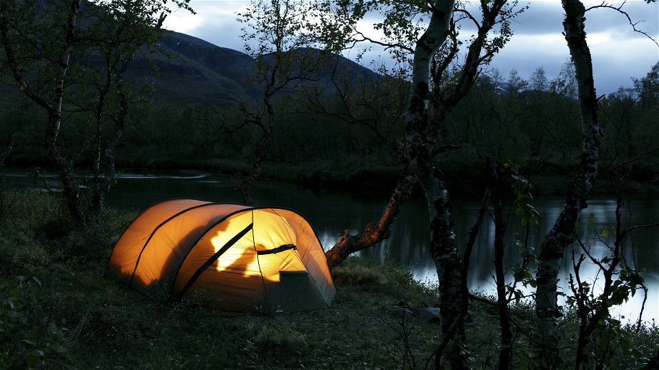
Photo: Fredrik Ludvigsson/Johnér -
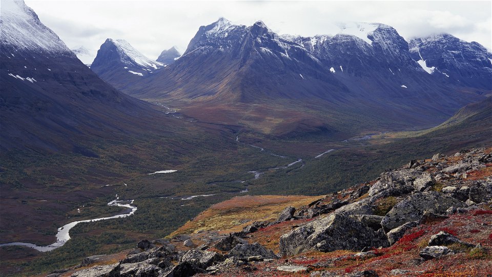
Photo: Fredrik Ludvigsson/Johnér -


Vistas-Nikkaluokta
Hiking
- County: Länsstyrelsen Norrbottens län
- 6388.41 km away from you
Trail details
- Length 32.0 km
Actions
Currently
July 7th 2023:A seasonal bridge is layed out in Vistasdalen where the previous bridge has been washed apart by high flows. The new seasonal bridge is located about 2.5 kilometers downstream of the Suspension Bridge Vássajohka. At the site there are a couple of shorter redraws of the trail so hikers should follow set carvings. In the prevailing water flows, the area is easy to pass.
June 26th 2023: A bridge over Njuoveajohka has been destroyed by water floods. The water has taken a new course and hikers must wade over it. This can be difficult if the water level is high. The County Administrative Board of Norrbotten is working to find a long-term solution for a new bridge.
Description
The long trail is mostly easily-hiked and passes through verdant mountain birch forest most of the way. The trail follows (sometimes close to, sometimes at a greater distance from) the east bank of the wide stream Visttasjohka.
About 5 km from the Vistas cabin there is a suspension bridge across Visttasjohka for those taking the trail to Kaskasavagge. From that point the trail to Nikkaluokta continues directly eastwards. After a gentle uphill slope, the trail crosses Vássajohka stream via a suspension bridge.
Just before the bridge you have a beautiful view along the valley Unna Reaiddávággi, surrounded by jagged summits. On the other side of the bridge there is a peat goahte hut that can be used to rest in rough weather.
The continued hike to Nikkaluokta passes across slightly hilly terrain, with increasing elements of open moor- and marshland. The hike can be shortened by taking the boat the last stretch to Nikkaluokta. There are two boat landings, 7 and 12 kilometres respectively along the river. The boat landings are signposted from the trail. How far the boat can continue depends on the water level.
Boat transport must be booked in advance – there is no fixed timetable.
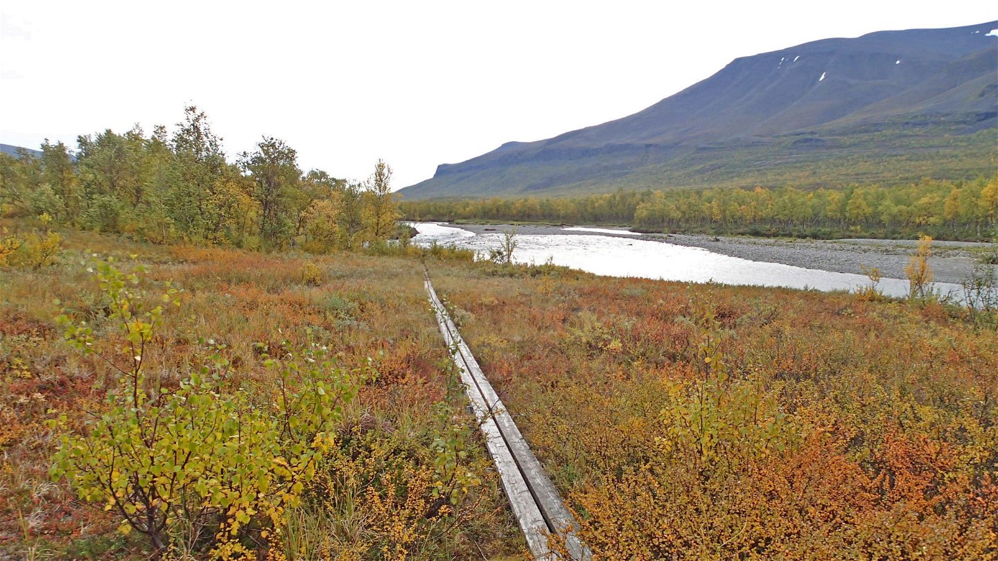
The last stretch to Nikkaluokta crosses marshlands with plankways past occasional stands of pine. The trail ends at Road 870, which you follow the last kilometres to Nikkaluokta.
There are adequate tent sites along the entire stretch.
Duration: 10-12 hours
Activities And Facilities
-
Hiking
Surface
Mostly easily-hiked surface, but in places uneven and with occasional willow undergrowth. A large number of plankways.
Communications
Nikkaluokta lies about 70 km from Kiruna. There is a road all the way and the simplest way to get here is by bus, unless you are driving.
Hörvalls Trafik operates the bus route. For more information, see Nikkaluoktaexpressen website.
Information about boat transport at Vistas is available on Nikkaluokta Sarri website or by calling +46 (0)980-550 15.
Contact
Email address
Länsstyrelsen Norrbotten
Organization logotype
![]()
Questions & Answers
Ask a question to other Naturkartan users.