-
-
-

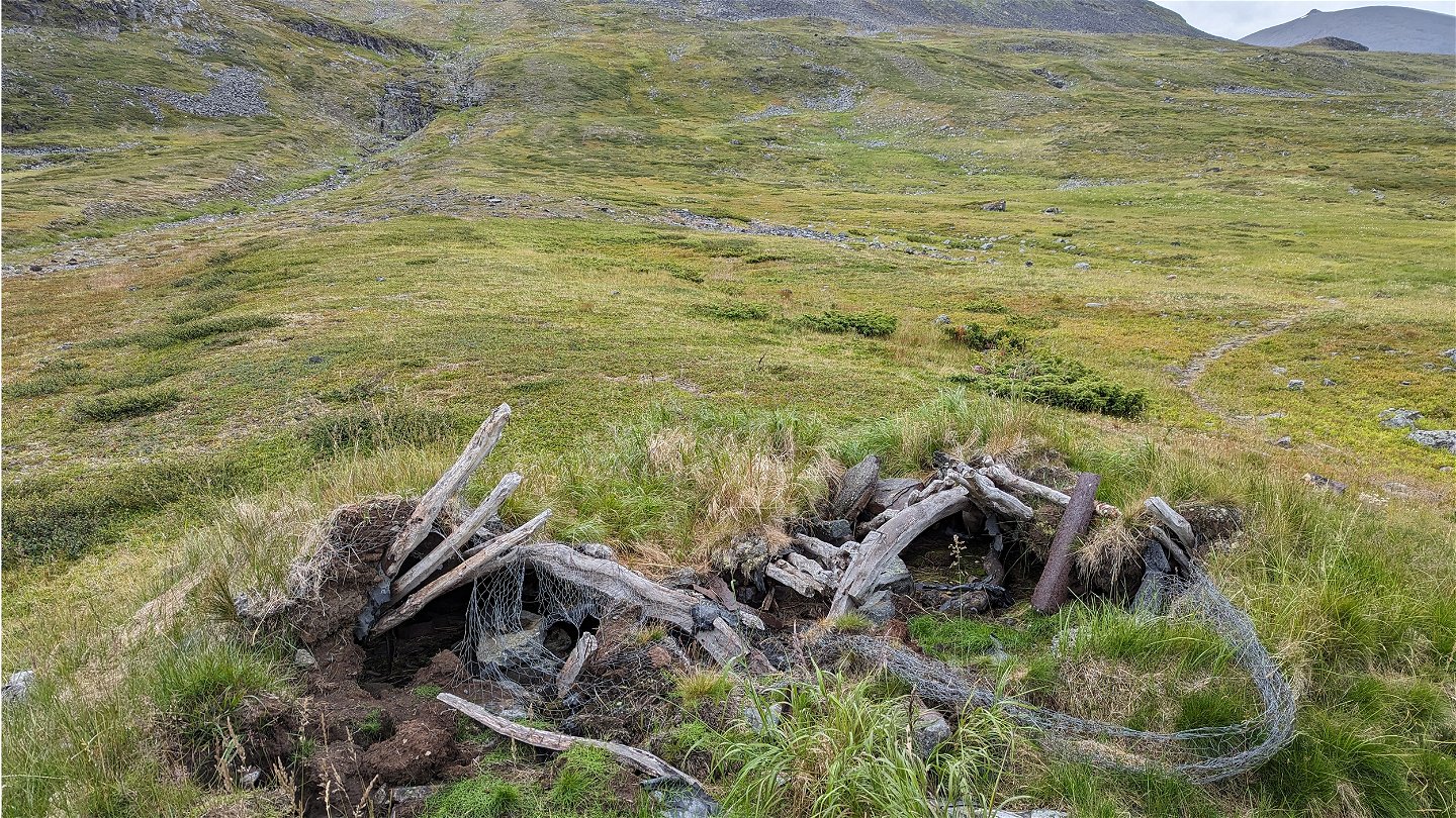
Remains of an old hut.
Photo: Martin Pettersson


Alesjaure-Vistas
Hiking
- County: Länsstyrelsen Norrbottens län
- 6376.36 km away from you
Trail details
- Length 19.0 km
Actions
Description
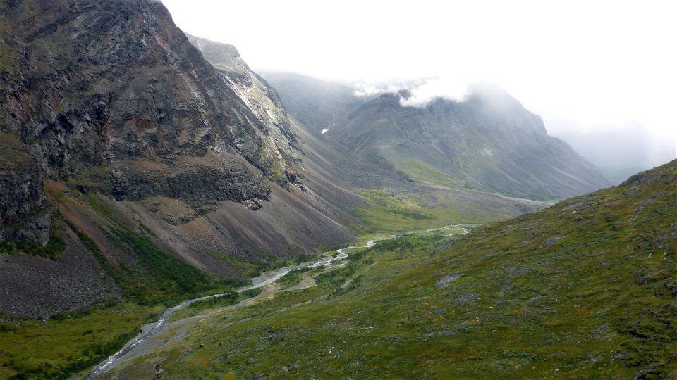
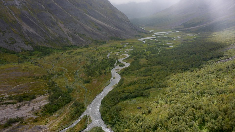
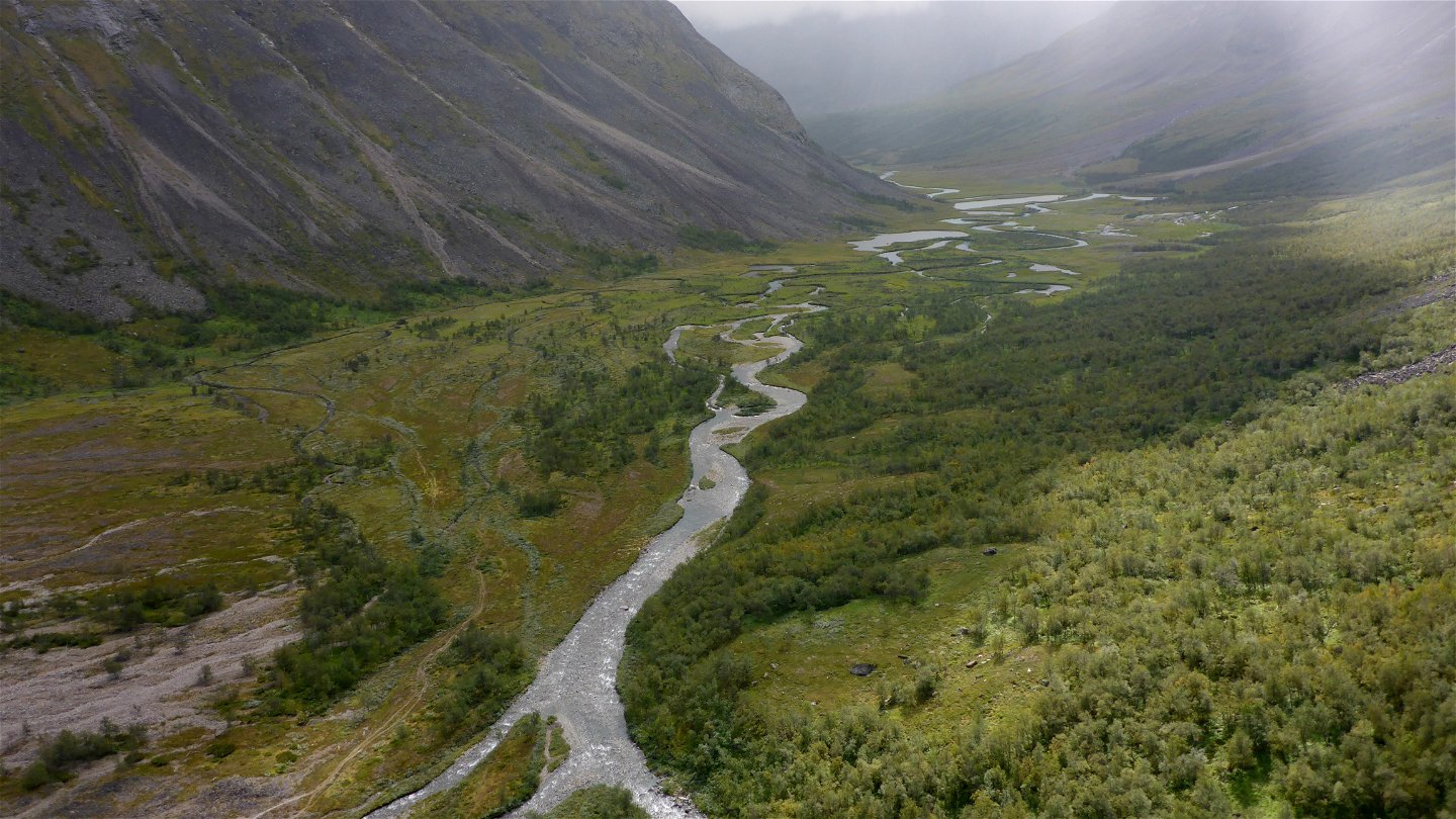
Cross the suspension bridge at the cabin site, then follow the trail in the direction of Alisjávri Sámi settlement. When the water level is higher, there is a stream that you may need to wade over. Just before the settlement, the trail turns off eastwards up an easily-hiked slope. The trail then follows lakes Bajip and Vuolip Čazajávri. After the lakes, there is a steep downhill slope towards Visttasvággi Valley. The view of the valley and surrounding mountain summits is magnificent. Visttasjohka Visttasjohkka stream winds along close to the steep mountainsides. At the bridge across Moarhmmájohka there is a rocky ravine and a waterfall. This can be a good spot to rest. Just before the Vistas cabin, you have a glimpse of the Siehtagas glacier jutting out over the valley. The last part of the hike to the cabin passes through verdant mountain birch forest.
There are good tent pitches on the grassy pastures at the beginning of the hike. Along the southern part of the trail there are tent pitches near the stream. Near the Vistas cabin on the west side of the bridge there are plenty of camping spots.
Duration: 6-8 hours
Activities And Facilities
-
Hiking
Surface
Mostly easily-hiked surface, but in places uneven and with occasional willow undergrowth. A large number of plankways.
Contact
Email address
Länsstyrelsen Norrbotten
Organization logotype
![]()
Questions & Answers
Ask a question to other Naturkartan users.