-

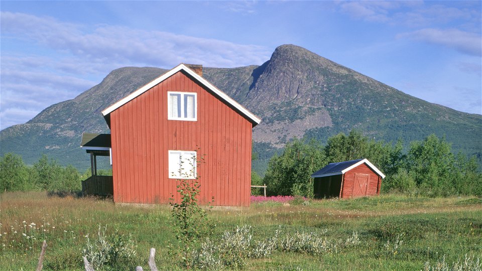
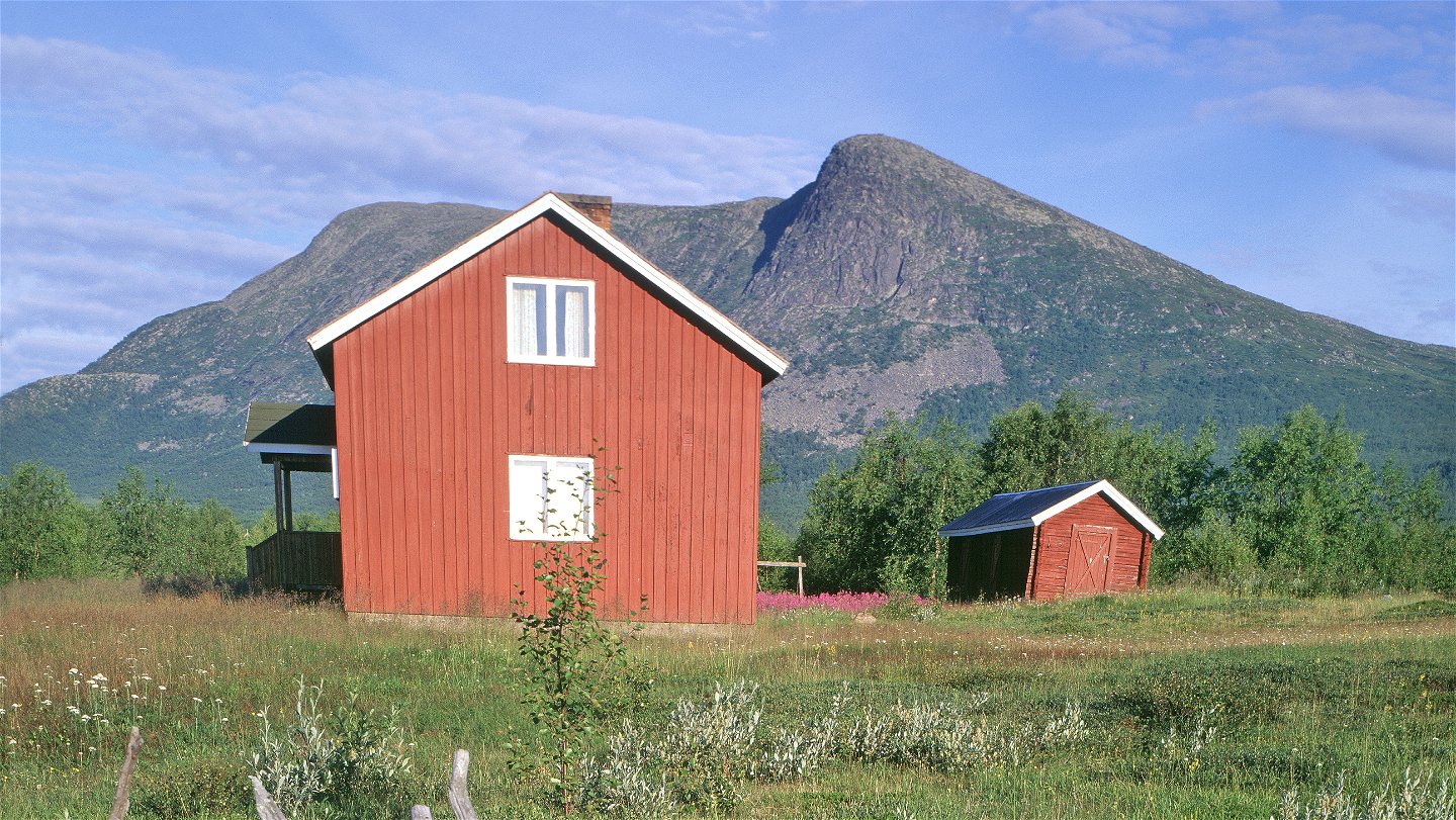
Kummavuopio.
Photo: Tomas Utsi -
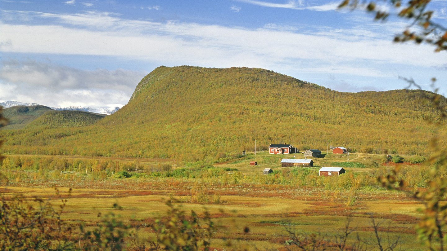
Láimoluokta.
Photo: Tomas Utsi

Kummavuopio-Láimoluokta
Hiking
- County: Länsstyrelsen Norrbottens län
- 6418.47 km away from you
Trail details
- Length 90.0 km
Actions
Description
This is a long hiking trail through vast areas with few hikers. The trail is extremely sparsely marked, and the paths are unclear in places. The relatively flat terrain can make navigation difficult, especially in poor visibility. There are two stopover cabins along the trail, but no overnight cabins apart from a wilderness camp. Therefore, the tour requires mountain experience, orienteering skills, a tent, and that you are self-sufficient in food and equipment. The hike starts in mountain birch forest in Kummavuopio. You have a good view of Pältsan mountain and the Norwegian mountain range to the north, which remain in view for a long time during the hike. The trail now and then follows a reindeer fence all the way to Lake Rostojávri. At a south-easterly inlet in the lake, you pass Rostoeatnu River via a suspension bridge. A fishing camp, Rostujávri Wilderness Camp, lies a few kilometres west of the bridge on the shore of the lake. From the big lake and onwards, short stretches of the trail cross boulder strewn land.
In the valley between the summits Goagdá and Ittivaara, the view of Pältsan and the Norwegian summits disappears. The continued hike offers fairly easy hiking all the way to the Talma Sámi community’s settlement of Vuoskkojávri. The surroundings alternate between barren mountain moors, flat grass plains and marshes which are not too wet or difficult to cross. After Vuoskkojávri the trail continues through mountain birch forest. You pass a reindeer fence and a stream. After that, the trail rises above the tree line and then follows the slope of Gáivárri mountain. The hike ends in a downhill slope through birch forest as far as Láimoluokta Sámi settlement.
The fords that you wade are not difficult in normal conditions.
There are good tent pitches along the whole route.
Distances: Kummavuopio-Hurvejåkka stopover cabin, 10 km Hurvejåkka stopover cabin-Kamasjaure stopover cabin, 51 km Kamasjaure stopover cabin-Vuoskojávrri, 14 km Vuoskojávrri-Láimoluokta, 13 km
Duration: 4-6 days
Activities And Facilities
-
Hiking
Surface
Easily-hiked surface on the mountain moors, while it can be more difficult in hollows where osier grows.
Communications
There is a hiking trail from Keinovuopio to Kummavuopio (10 km). Keinovuopio lies about 90 km from Karesuando. There is a road (the E8) and the easiest way there is to drive. You can also take the bus from Kiruna to Karesuando (180 km). From Finnish Karesuvanto, continue by bus or taxi to Keinovuopio. Keinovuopio has a footbridge connection to the E8.
Länstrafiken Norrbotten website (bus and coach operator) Eskelisen Lapin Linjats website (Finnish bus operator) Matkahuoltos website (Finnish bus operator)
Contact
Email address
Länsstyrelsen Norrbotten
Organization logotype
![]()
Questions & Answers
Ask a question to other Naturkartan users.