


-

null -

null -

-
-
Linköpings kommun -

Linköpings kommun -

Linköpings kommun

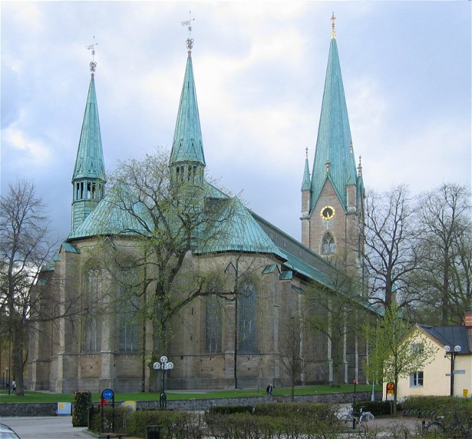
Östgötaleden – Berg - Domkyrkan in Linköping (The Birgitta trail)
Hiking
- County: Östergötlands län
- 6758.34 km away from you
Trail details
- Length 12.0 km
- Difficulty Green - simple
Actions
Currently
Out through Linköping, the route is slightly different from the Östgötaleden, and there markings in the field may be somewhat lacking.
Description
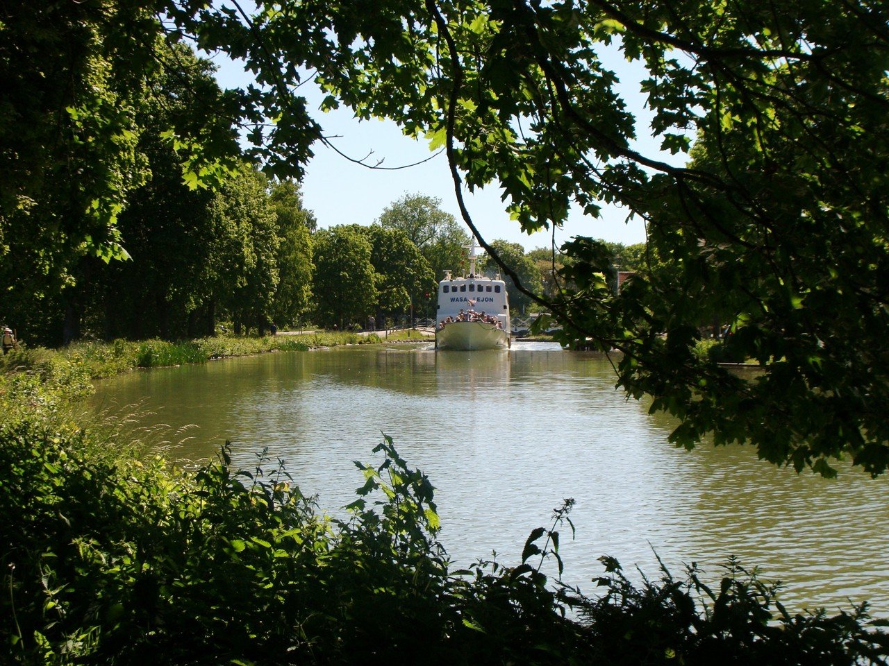
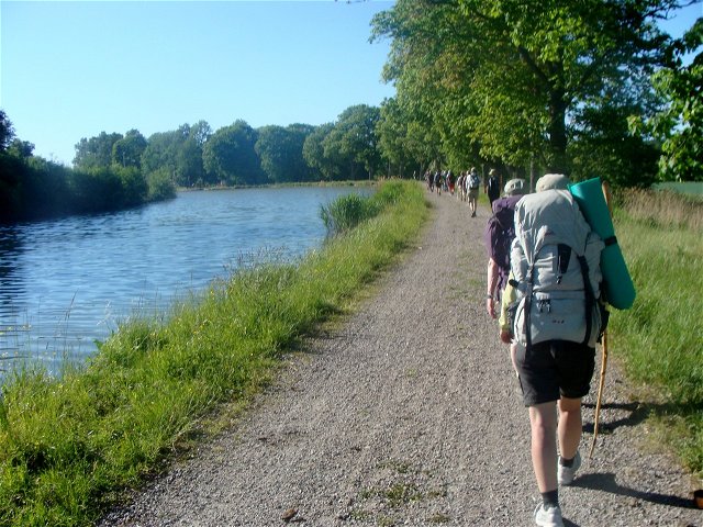
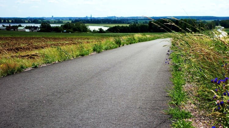
This part of Östgötaleden follows the pedestrian and bicycle paths from Berg towards central Linköping. Along the trail you can see both a fine cultural environment and a fine natural environment. One passes Vreta monastery which was built around the 12th century by King Inge the Elder (Inge Stenkilsson) and Queen Helena. On this part of the trail you also pass Svartån.
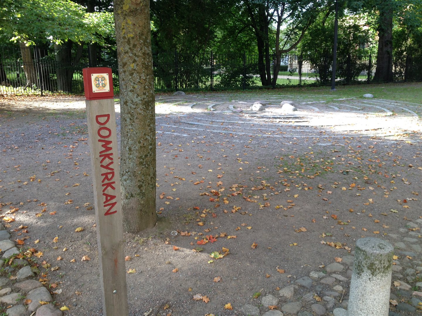
The Birgitta Trail is a pilgrimage route that connects parts of St. Birgitta's life, past and present. On the Birgitta Trail, you are welcome to hike or cycle on easily accessible roads. There are good accommodation options (including five STF hostels, many hotels and guest houses) and access to shops and restaurants. The Birgitta Trail is not marked in the terrain, but coincides on certain parts with Östgötaleden. More information about the trail, maps and directions can be found on the Pilgrim Center's website. You can start your walk at Linköping Cathedral or at another place you choose along the Birgitta Trail.
On Naturkartan, the Birgitta trail is divided into four sections. The part between Linköping Cathedral and Vreta Monastery is 12 km long.
Activities And Facilities
-
Hiking
-
 Pilgrim Trail
Directions
Birgittaleden kan man nå med kollektivtrafik på många ställen. Kontakta Östgötatrafiken på www.ostgotatrafiken.se eller 0771-21 10 10.
Downloads
Contact
Address
Har du frågor kring leddragningar eller intressepunkter på St. Birgitta Ways kartguide. Kontakta då Emanuel Eriksson på Pilgrimscentrum
Email address
Emanuel Eriksson
Organization logotype
![]()
Questions & Answers
Ask a question to other Naturkartan users.
Reviews
You might also be interested in
