-
-

-
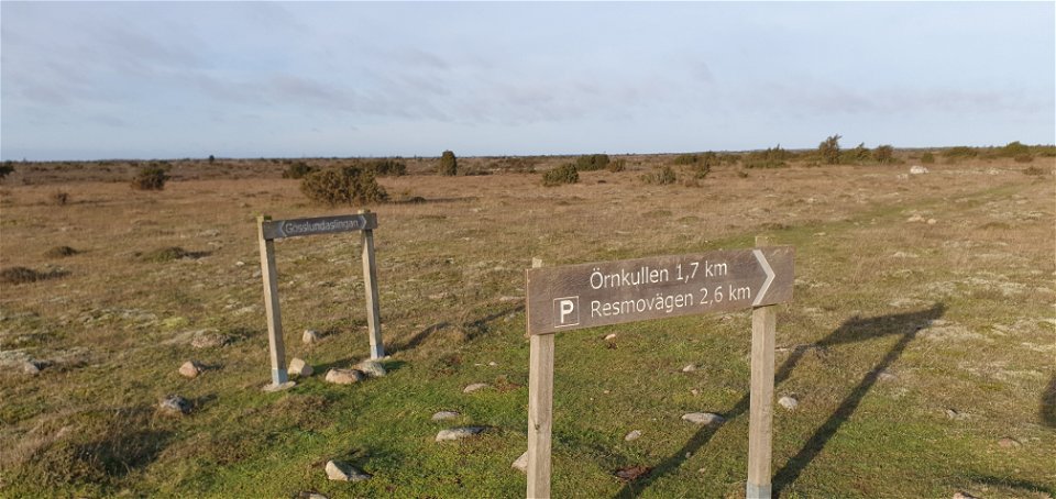
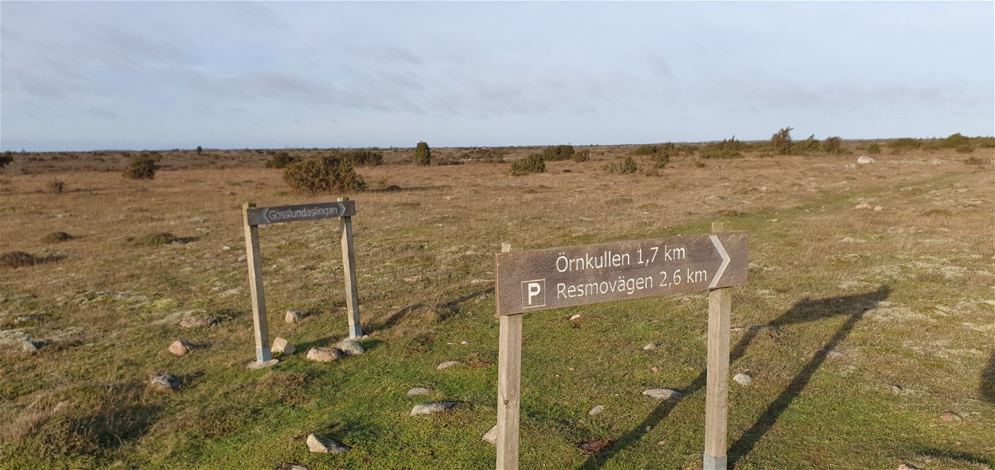
Anslutning till Örnkulleleden -
-
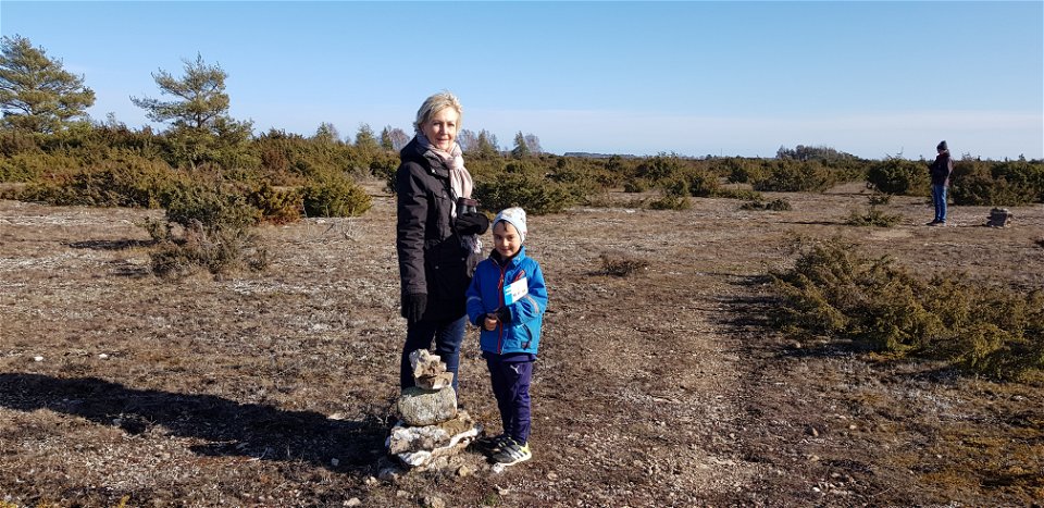
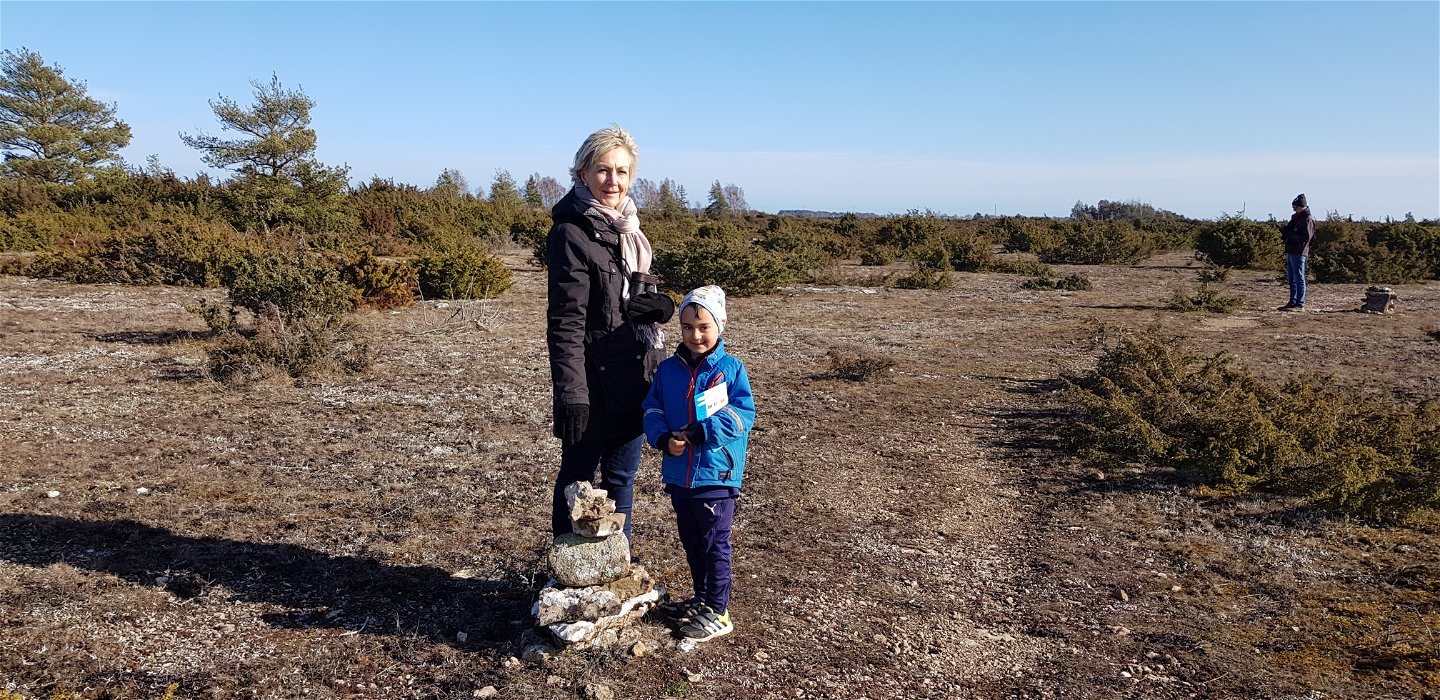
Stenrösen visar vägen -

Gösslunda path
Hiking
- County: Mörbylånga - Öland
- 6921.39 km away from you
Trail details
- Length 7.0 km
Actions
Description
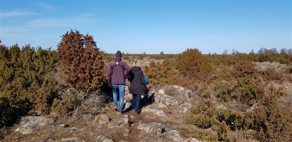
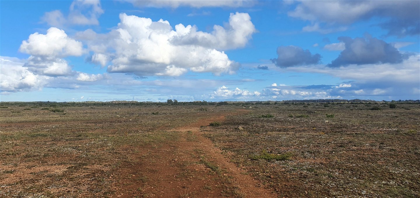
Gösslunda path is a 7 km long hiking trail that starts and ends at the parking lot opposite the entrance to Gösslunda village. The trail is marked with stone cairns that show you the way.
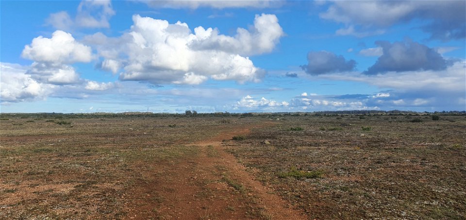
Gösslundapath is relatively easy with mostly low-growing vegetation. You follow limestone rocks and pass five stiles. After snowmelt and heavy rain, some parts may be waterlogged and boots are preferable.
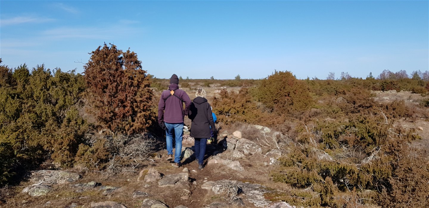
Start from the car park at Gösslunda village, along road 939, and walk the loop in a counter-clockwise direction. The trail passes through a narrow curtain of junipers and over a stile, after which two burial cairns can be seen. After passing the first burial ground, you arrive at Rörkällan. Here there is a stone table suitable for a rest. Continuing past the next burial ground, you reach a ridge that takes you to a floating block, where the trail forks. Here you can continue on the Örnkulleleden northwards, or continue on the Gösslundaleden. Signs and an information board are here. Continuing on Gösslundaleden, you come to a ridge that takes you to the middle wall. Then a large rock avalanche opens up, where the limestone flake is exposed. The trail continues on the eastern side of the middle wall, where you can see so-called karst cracks in the limestone slope. On the way back to the car park, you pass a meadow rich in flowers in early summer.
Activities And Facilities
-
Hiking
-
 Circular trail
Accessibility
-
 Near parking
-
 Near toilet
Facts
Unique nature
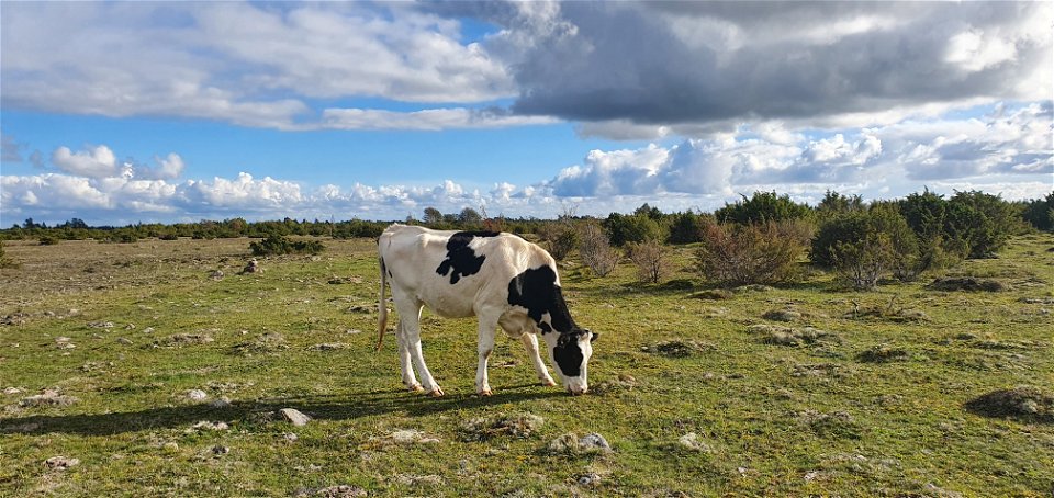
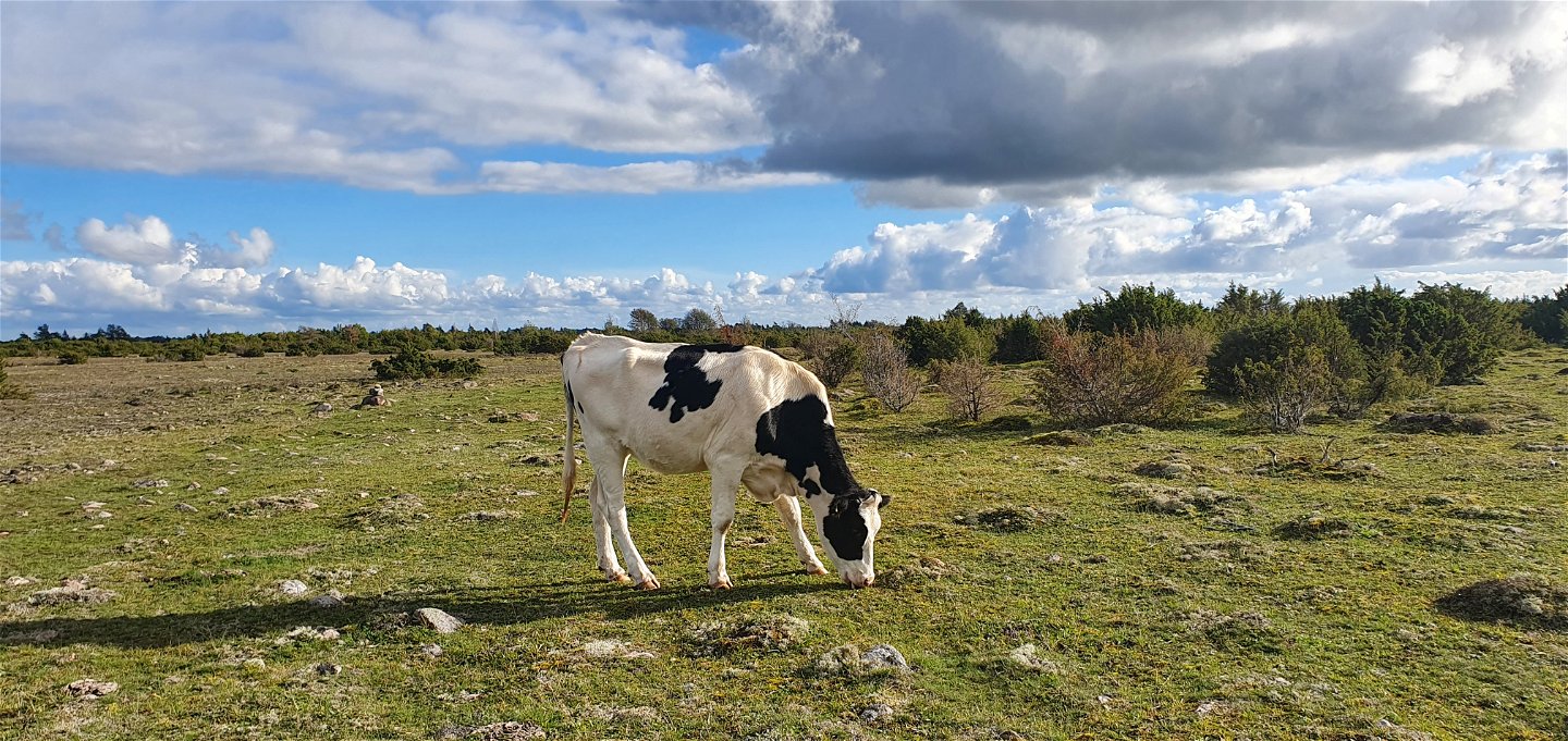
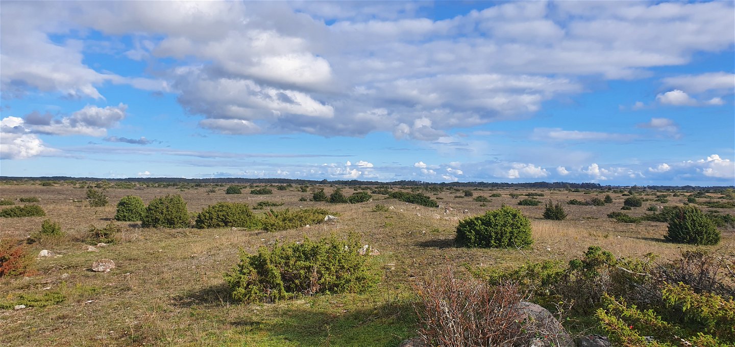
The trail displays many of the alvar's different characteristics. There is a large rock alvar with karst, a so-called pig's back, a spring, grave rocks and, not least, a fantastic floral display. On the alvar there are a number of large and small stones/moveable boulders, including granite, which during the Ice Age followed the advance of the ice and then fell off here.
Swine ridge: a ridge formed by the underlying alum shale penetrating the weakness zones of the limestone and lifting it up.
Karst: cracks in the limestone bedrock. Rare rock lichen is one of the species that grows here.
Ancient route
Next to a fountain there is a stone table with boulders to sit on, a lovely place for a coffee break. Part of the trail follows a very old route that once ran between Resmo and Triberga.
Contact
Address
0485-474 92
Email address
Matheus Tholin
Organization logotype
![]()
Questions & Answers
Ask a question to other Naturkartan users.
