-
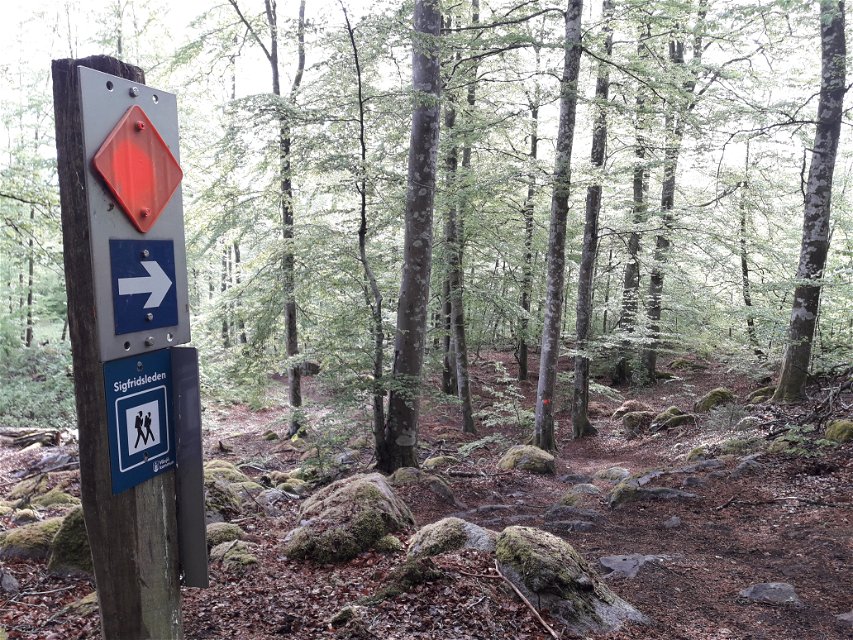
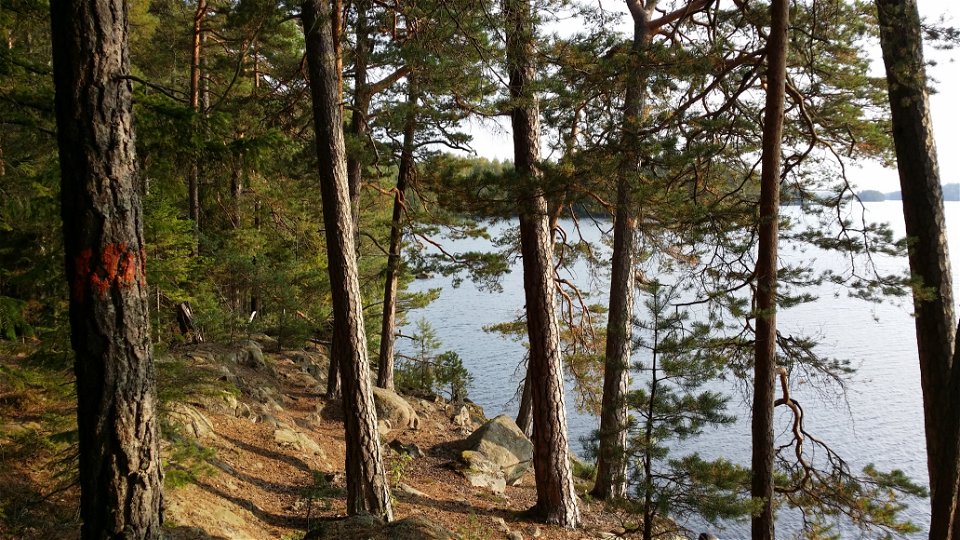
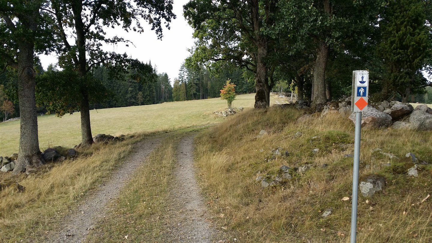
Ledmarkering -

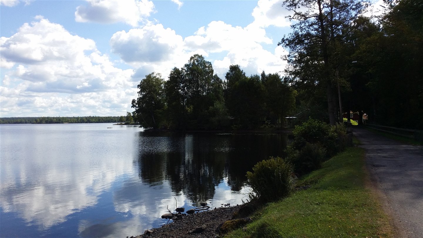
Årydsjön -

Knapelid -
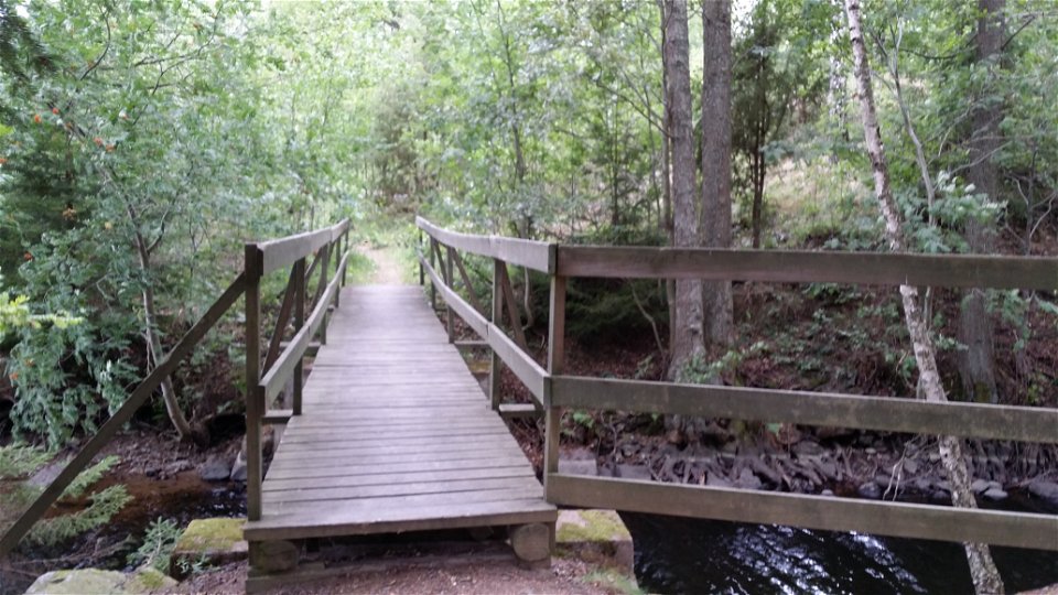
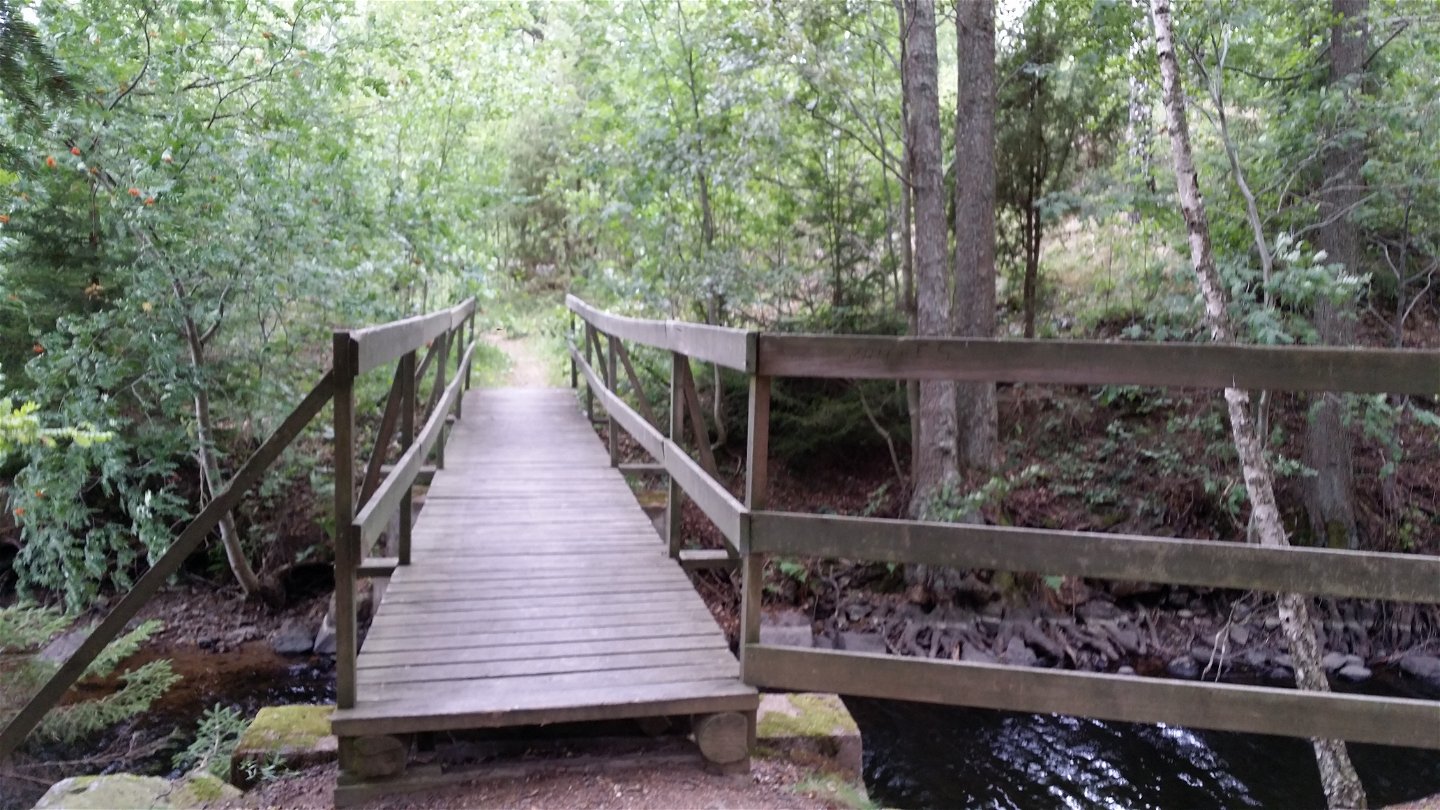
Bron vid Tomtsjön -
Sandstaden -
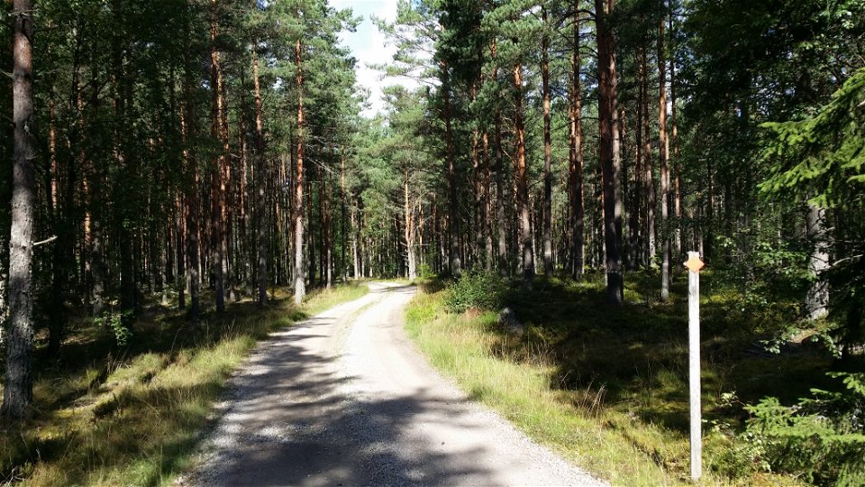
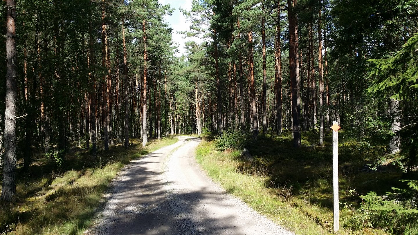
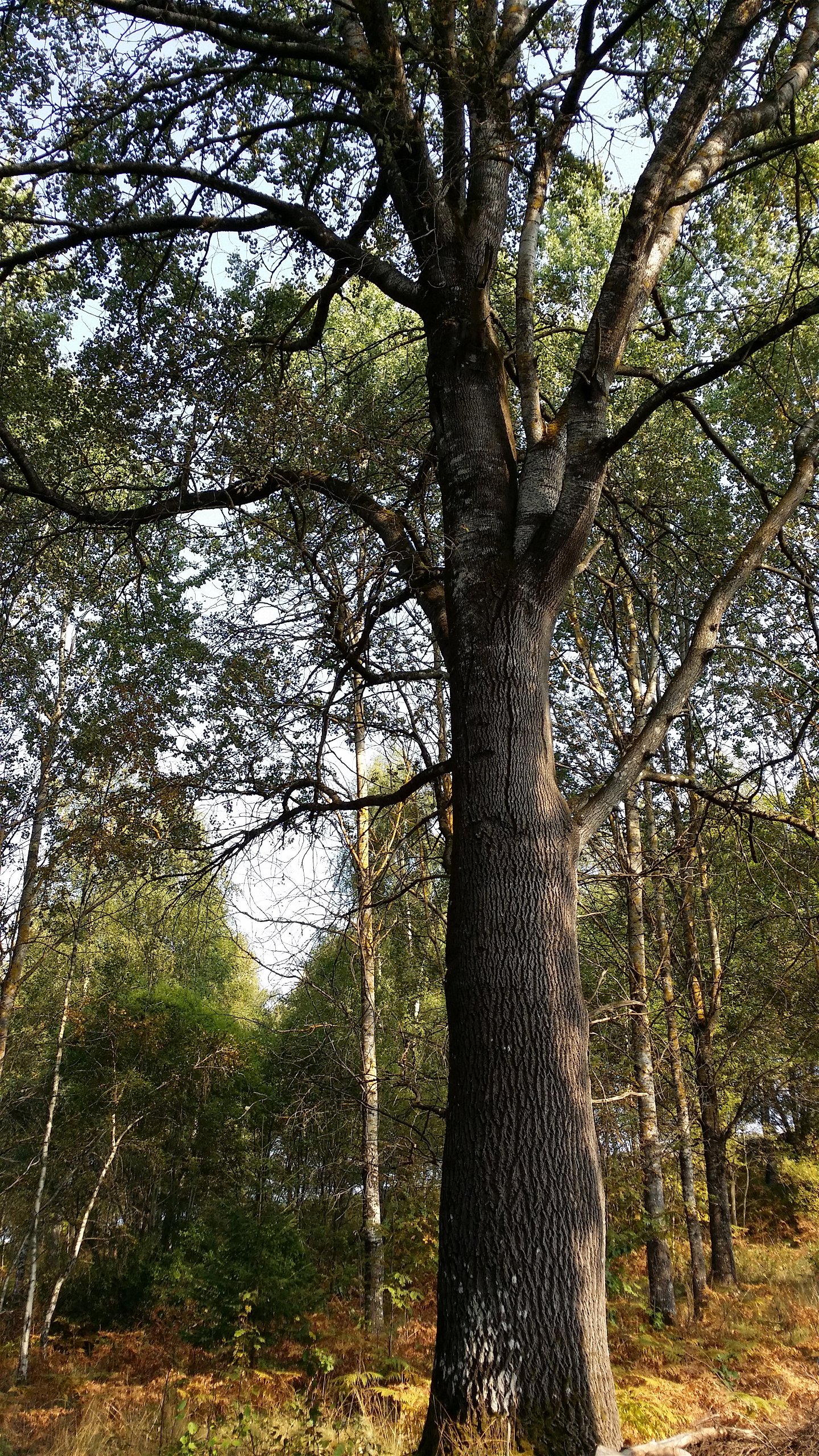
Hemmesjö; genom tallskog -
Skråhallabergen -
Gripeberg -

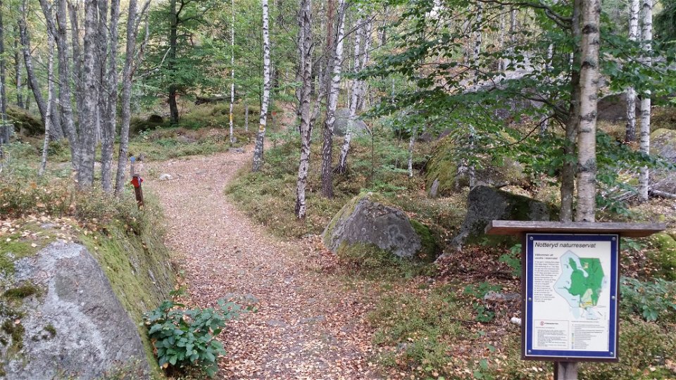
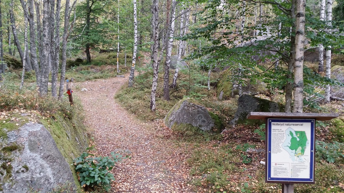
Naturreservatet Notteryd -
Tolg; öppna betesmarker -
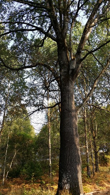
Jätte-asp vid smalspår Norrgårda -
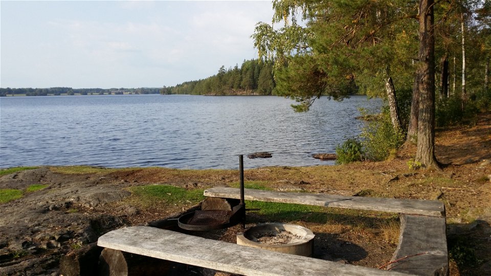
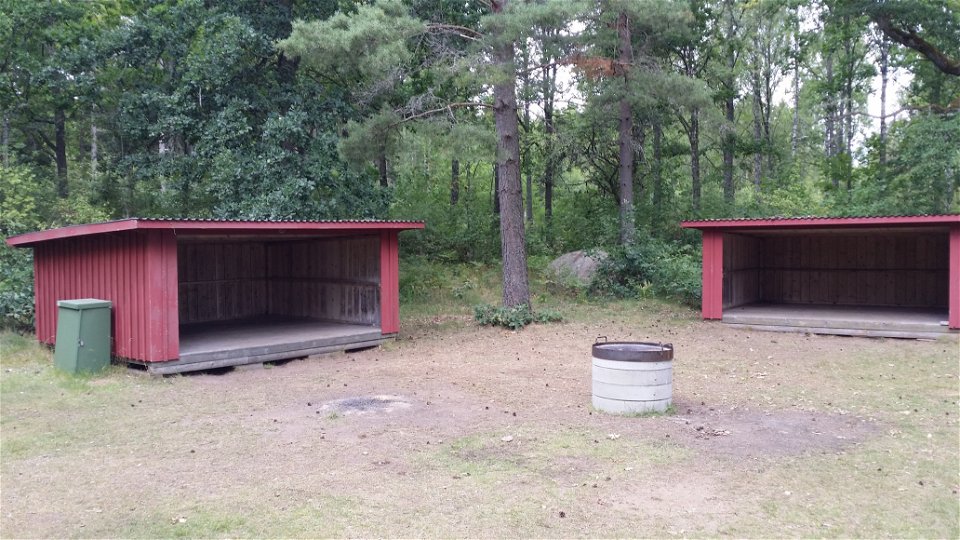
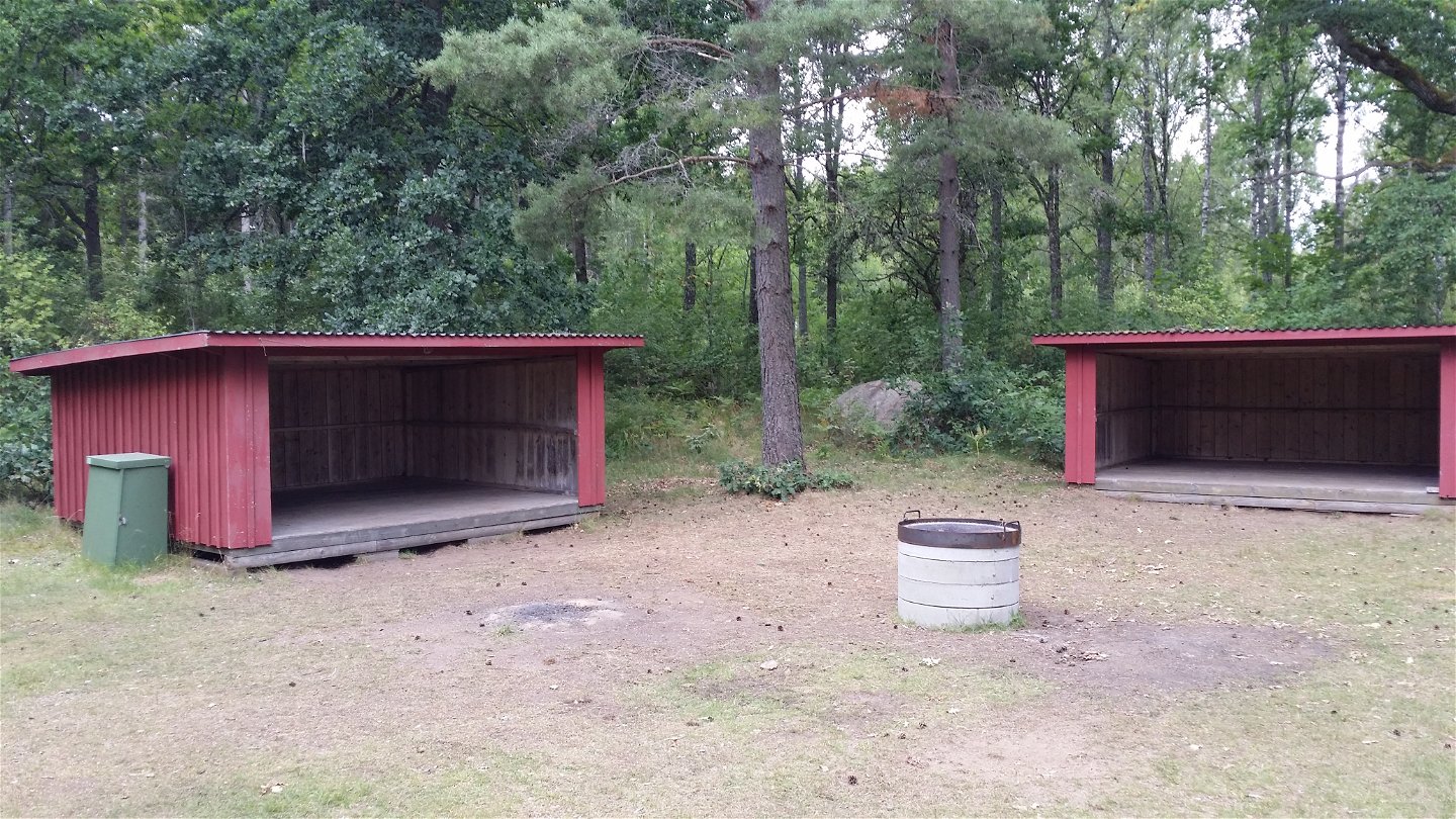
Långanäs rastplats -
Utmed Asasjön -
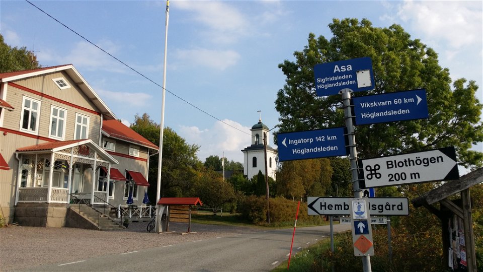
Asa vandrarhem

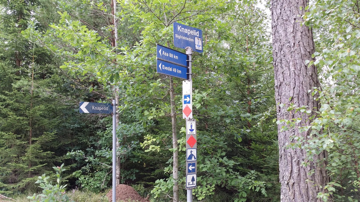
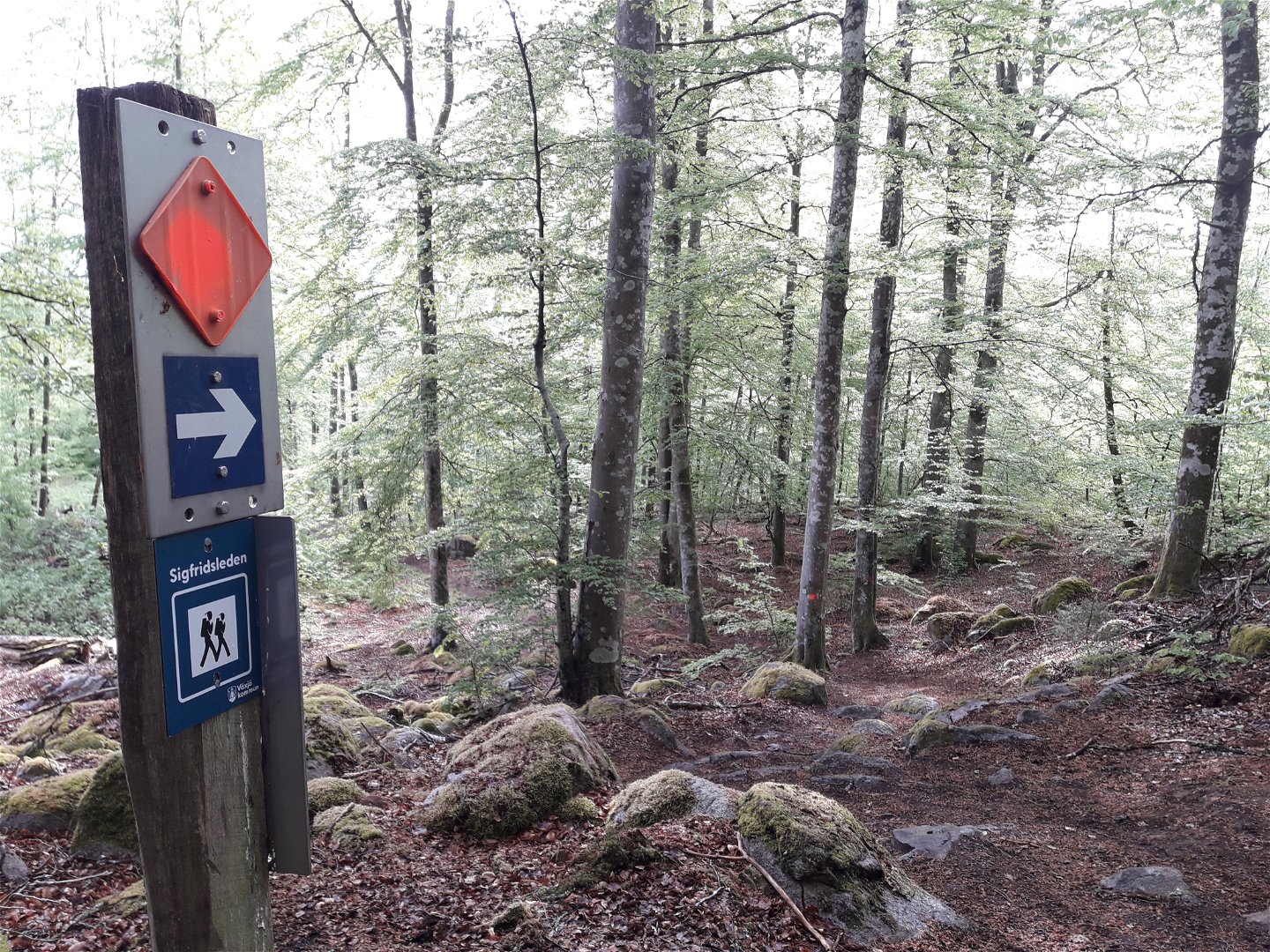
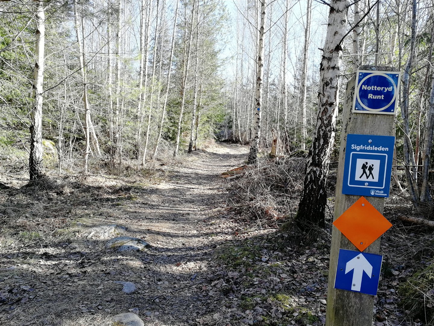


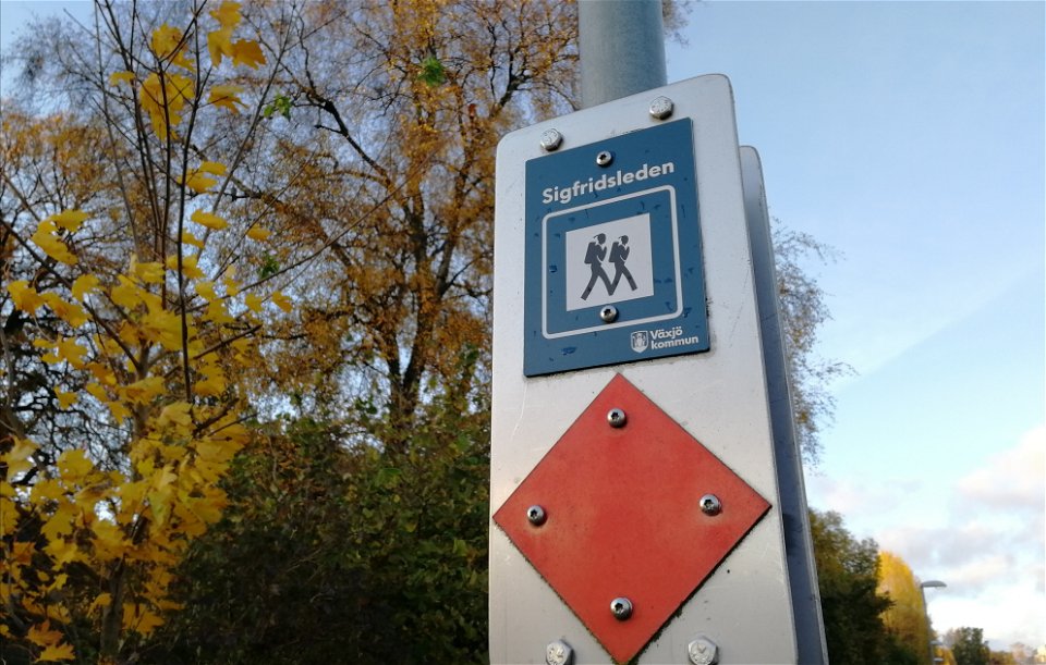
Sigfridsleden
Wandern
- Landkreis: Växjö kommun
- 6793.75 km von Ihnen entfernt
Details zum Weg
- Länge 102.0 km
- Schwierigkeit Blau - mittel
Aktionen
Beschreibung
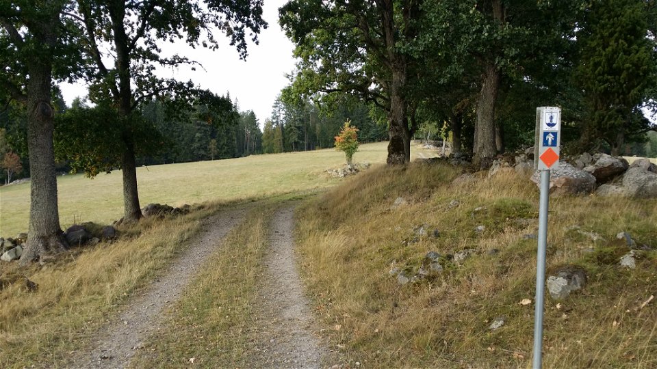
The Sigfridsleden Trail is primarily a hiking trail, but works fine for mountain bikes, as well, provided you remember to show consideration to hikers, and to the natural beauty you pass. The length of the trail is about 88 kilometres, with a 14 kilometre connection via the narrow-gauge railway route to Evedal and the cathedral in Växjö. The Sigfridsleden Trail is a part of a network of hiking trails through Småland and also historically is a little part of the pilgrim trails that stretch from Spain to Nidarosdomen in Trondheim, Norway. The municipality’s only hiking trail goes through six parishes in Värend and passes many points of cultural and historical interest. At Notteryd and beautiful Skråhallabergen, the trail divides, continuing north toward Asa, and south toward Knapelid. This trail connects with the Emigrant trail in the south, and with the Höglandsleden trail in the north, at Asa.
Aktivitäten und Einrichtungen
-
Wandern
-
 Mountainbike
-
 Trailrunning
Oberfläche
Mix of trail, gravel roads and some short parts on asphalt roads.
Anleitung
Starta din vandring från Växjö domkyrka, Evedal, vid Notteryds naturreservat eller någonstans utmed den vackra leden.
Downloads
Kontakt
Adresse
Telefon 0470-410 00
E-Mail-Adresse
Kontaktcenter
Logotyp der Organisation
![]()
Fragen & Antworten
Stellen Sie eine Frage an andere Naturkartan-Nutzer.