-
-
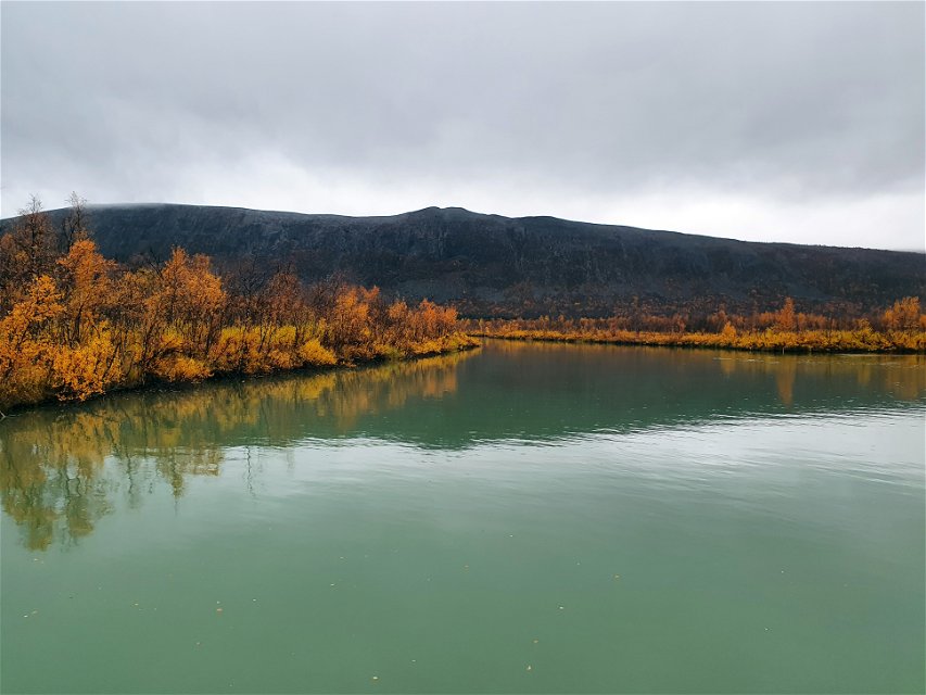
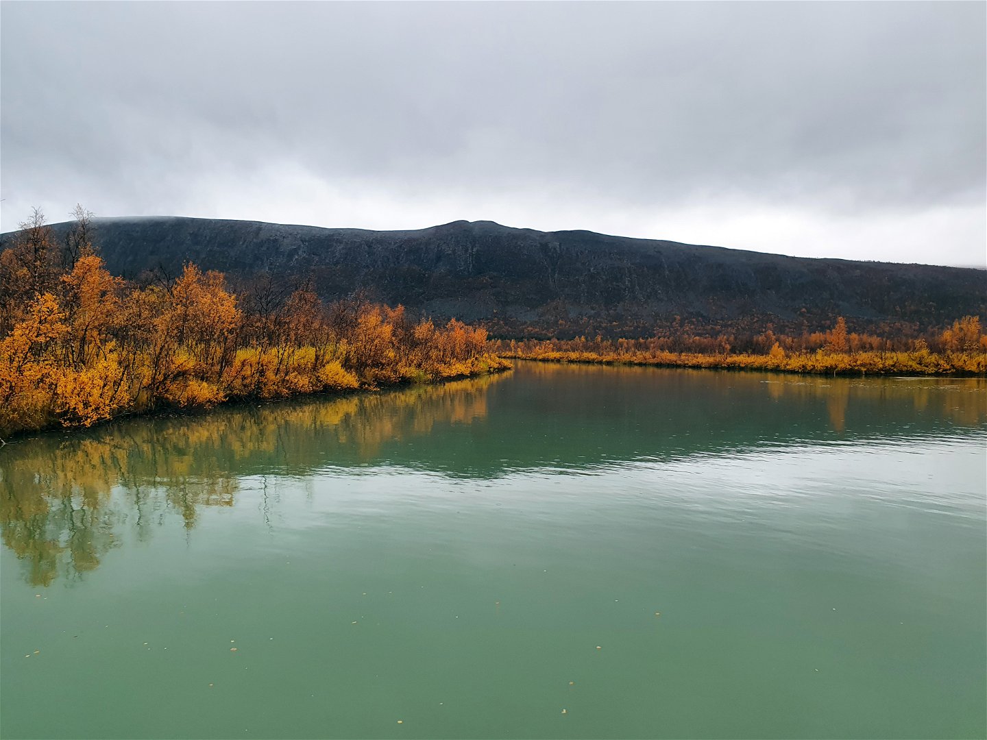
Láddjujohka med Lárkinbákti i bakgrunden. -
-

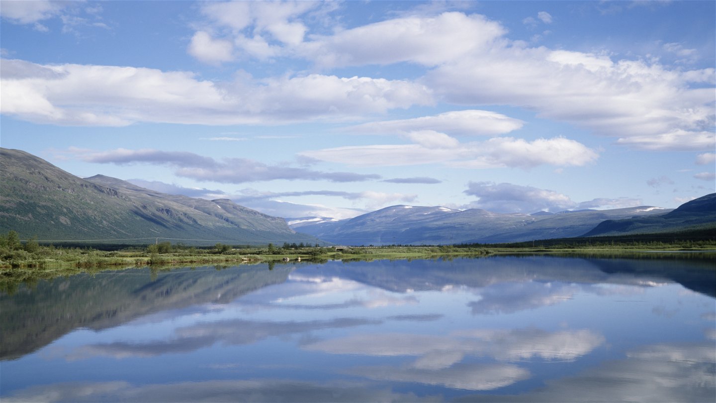
Paittasjärvi.
Foto: Stefan Örtenblad/Johnér


Nikkaluokta–Kaitum
Wandern
- Landkreis: Länsstyrelsen Norrbottens län
- 6413.22 km von Ihnen entfernt
Details zum Weg
- Länge 63.0 km
Aktionen
Beschreibung
Borrásgorsa/Pårraskårsa-Tjuonajåkk
You can choose to hike the summer trail to Borrásgorsa and back as a pleasant day trip or start a tour of several days that continues to Tjuonajåkk or Kaitum. This is a beautiful and peaceful area where it you will not meet as many hikers as on the trail to Kebnekaise. You will be spending your time on the land of Girjas Sámi community.
The hike starts at the turnaround in Nikkaluokta. Here you will see a signpost and an information shelter designed like an open wooden goahti hut. Follow the gravel roads eastwards to open grassland, where the road turns into a path. A wooden signpost indicates the direction of Tjuonajåkk. The red paint markings of the summer trail and the red crosses of the winter trail run parallel from here as far as the fork in the trail at Borrásgorsa.
After a hike of just over 1 km, the trail passes the slowly flowing Laddjujohka stream, crossing a fairly long suspension bridge. This is a beautiful spot. Just downstream of the bridge, the turquoise-green glacial water of the stream empties into Lake Paittasjärvi.
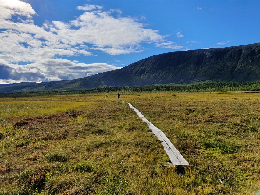
Your hike continues upstream along the peaceful stream and then out onto a big open area of waterlogged ground. The view is superb towards Kebnekaise, Tuolpagorni, and in the direction of your hike, Lárkinbákti mountain. Wooden plankways lead over the wetland, but in places they are broken, overgrown and under water. Walk carefully!
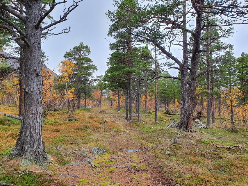
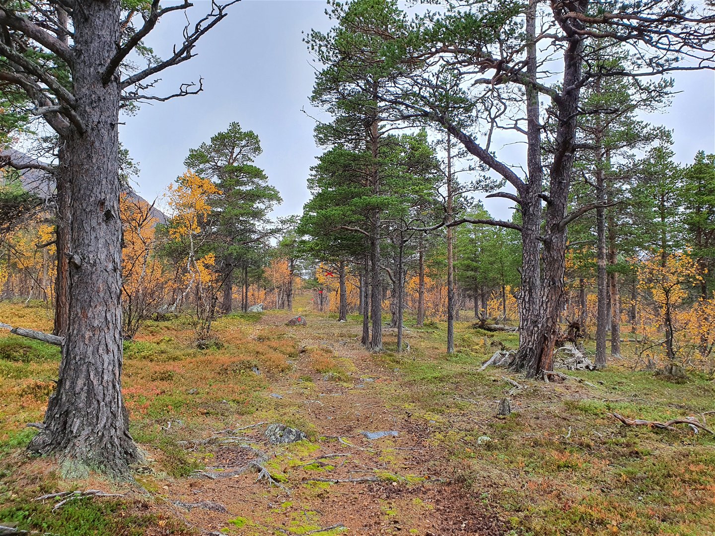
After you pass the wetland, you are met by a harmonious mixed forest of old, imposing pine trees and sparse mountain birch. The trail is flat and easy to hike, and follows the rocky slopes of Lárkinbákti as far as the fork in the trail at Borrásgorsa. Borrásgorsa is an ancient Sámi dwelling site. You can see the remains of homes, barns and hearths in the area, but there is no longer a year-round population here. The trail splits here. A summer trail turns up southwards heading towards Tjuonajåkk, and one trail continues straight ahead, eastwards, towards Kaitum.
Borrásgorsa/Pårraskårsa-Kaitum
The trail is not described in text and image in Norrbotten’s Nature Map.
Aktivitäten und Einrichtungen
-
Wandern
Fakten
There is more information about hikes around Nikkaluokta on the Nikkaluokta Sarri website.
Oberfläche
Lättvandrad stig och grusväg, med partier av spänger.
Kommunikation
Nikkaluokta is situated 70 kilometres from Kiruna. There is a road from Kiruna to Nikkaluokta and there are buses. For more information regarding bus traffic, please visit the website Nikkaluoktaexpressen.
Kontakt
E-Mail-Adresse
Länsstyrelsen Norrbotten
Logotyp der Organisation
![]()
Fragen & Antworten
Stellen Sie eine Frage an andere Naturkartan-Nutzer.