-

Foto: Tomas Utsi -
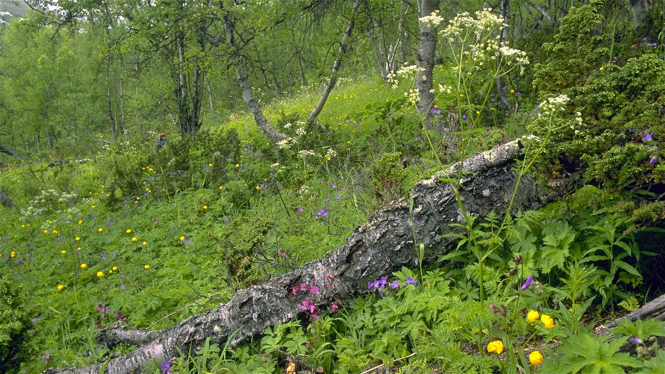
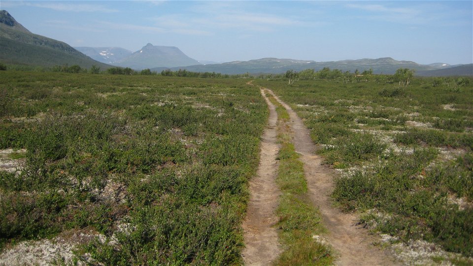
Foto: Tomas Utsi -
-
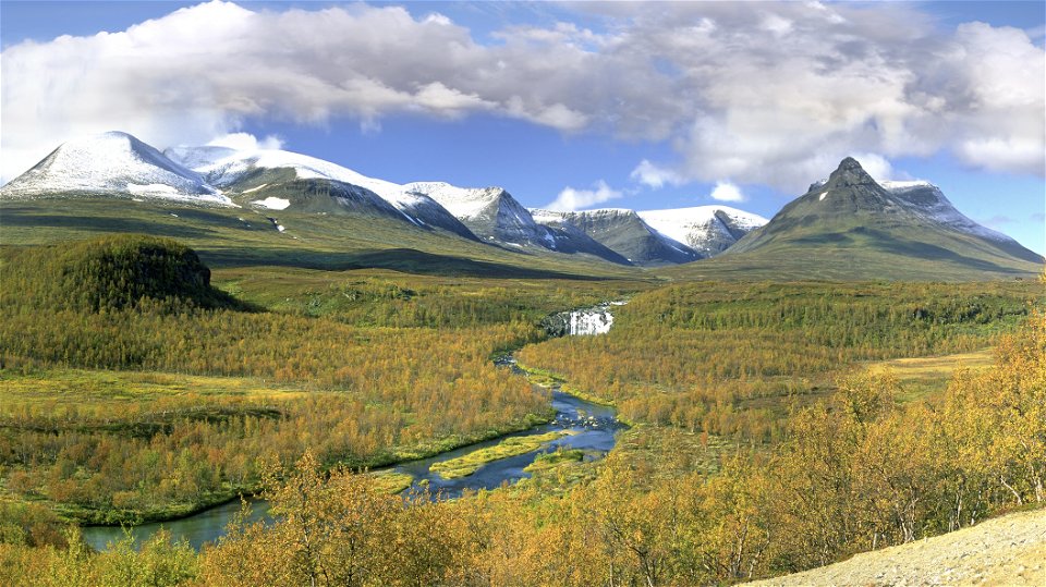
Foto: Tomas Utsi -
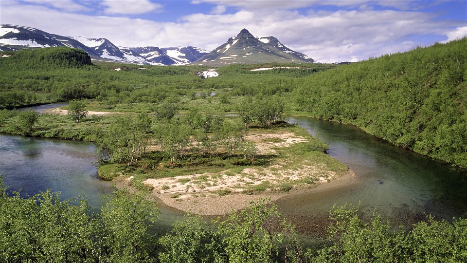
Foto: Tomas Utsi


Pältsa-Kummavuopio
Wandern
- Landkreis: Länsstyrelsen Norrbottens län
- 6404.12 km von Ihnen entfernt
Details zum Weg
- Länge 24.0 km
Aktionen
Beschreibung
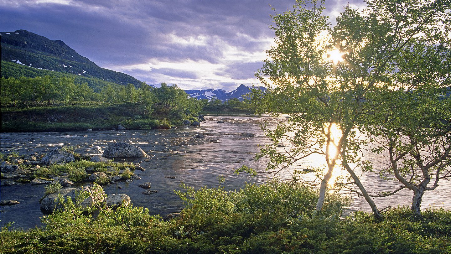
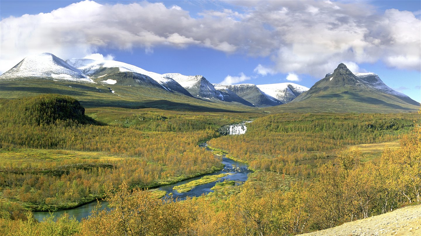
The stretch is easily-hiked and nearly all the way follows a quad bike road. The trail runs across a beautiful mountain moor a few hundred metres north of Kummaeno River. On the North side of the height Nilsivaara, the trail to Kuoltaluokta turns off. From here, 5 km remain to Kummavuopio. Nilsivaara is rounded and the trail continues along Kummaeano River. The trail here is in worse condition in places, and wet with stretches of plankway. At Kummavuopio the trail passes through a reindeer fence via a gate. A footbridge leads across Kummaeno river.
**Duration:**7,5-9 hours
Aktivitäten und Einrichtungen
-
Wandern
Oberfläche
Easily-hiked surface across mountain moor along quad bike road. Many plankways.
Kommunikation
There is a walking route to Kummavuopio from Keinovuopio (10 km). Keinovuopio has a footbridge connection to the E8. From the footbridge, follow the route through the village and on to Kummavuopio.
Keinovuopio lies about 90 km from Karesuando. There is a road (the E8) and the easiest way there is to drive. You can also take the bus from Kiruna to Karesuando (180 km). From Finnish Karesuvanto continue by bus or taxi to Keinovuopio. Keinovuopio has a footbridge connection to the E8.
Länstrafiken Norrbotten website (bus and coach operator) Eskelisen Lapin Linjats website (Finnish bus operator) Matkahuoltos website (Finnish bus operator) M/S Malla website or tel. +358 400 669 392, +358 40 8485494
Karesuando Touristinformation Kiruna Lappland website Destination Enontekiö-Tosilappi website Kilpisjärvi Visitor Centre
Kontakt
E-Mail-Adresse
Länsstyrelsen Norrbotten
Logotyp der Organisation
![]()
Fragen & Antworten
Stellen Sie eine Frage an andere Naturkartan-Nutzer.